


Charakterystyka trasy

Komentarze
NA TYCH TRASACH PRZYDA CI SIĘ MAPOPRZEWODNIK LUB MAPA Z NASZEJ APLIKACJI
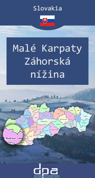
Mapa obejmuje obszar Niziny Zahorskiej w zachodniej Słowacji oraz pójnocne stoki Małych Karpat. Stanowiąca przedłużenie Kotliny Wiedeńskiej jest najdawniej zamieszkanym regionem Słowacji. W miejscowościach regionu znajdują się zabytki z czasów Wielkich Moraw. Obecnie Zahorie zamieszkuje specyficzna grupa etnograficzna zwana Zahorakami, posługująca się własnym dialektem języka słowackiego. Wśród ich przodków znajdują się hutteryci, zwani tu Habanami, którzy osiedlili się na tych terenach w XVI-XVII wieku, przynosząc ze sobą oryginalną kulturę. Największymi miastami regionu są Senica, Malacky, Skalica, Holíč i Stupava.
Rok aktualizacji: 2016/2017
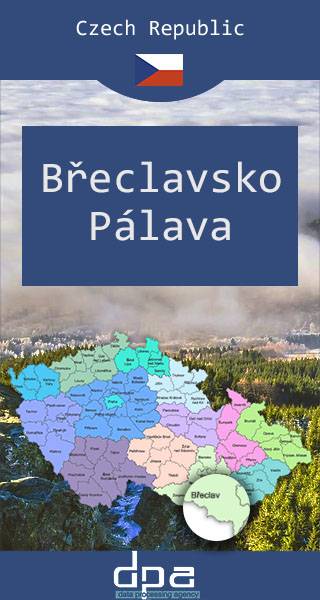
Mapa przedstawia fragment południowych Czech, na pograniczu z Austrią i ze Słowacją, na południe od Brna. Obejmuje m.in. posiadające bogatą historię miasto Brzecław, w którym można oglądać ruiny XVI-wiecznego zamku, Obszar Chronionego Krajobrazu Pálava, stanowiący rezerwat biosfery na mokradłach dolnej Dyi, oraz wpisany na listę światowego dziedzictwa UNESCO krajobraz kulturowy Lednice-Valtice.
Rok wydania: 2016 / 2017.
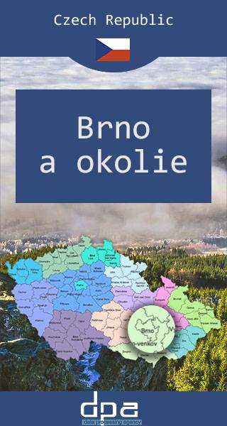
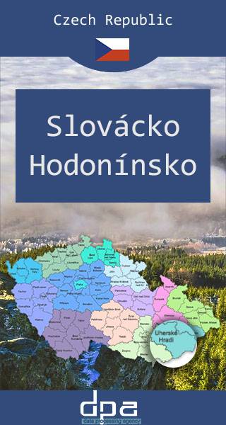
Mapa obejmuje okolicę drugiego co do wielkości miasta w Czechach oraz stolicy okręgu terytorialnego kraj południowomorawski. Brno to ważny ośrodek czeskiej kultury, jest siedzibą słynnej czeskiej sceny operowej (Janáčkovo Divadlo). Miasto warto odwiedzić ze względu na liczne zabytki, m.in. Stare Miasto z dwoma rynkami oraz oryginalnie romańską katedrę św. św. Piotra i Pawła. Okolice Brna to ważny w skali kraju obszar winiarski. W regionie warto zobaczyć także m.in. pałac Slavkov, klasztor benedyktyński w Rajhradzie, klasztor Porta Coeli w Předklašteří koło Tišnova, pałac w Rosicach, zamek Veveři stoi na skalistym urwisku nad Zaporą Brneńską oraz pałac Bučovicki.
Rok wydania: 2016 / 2017
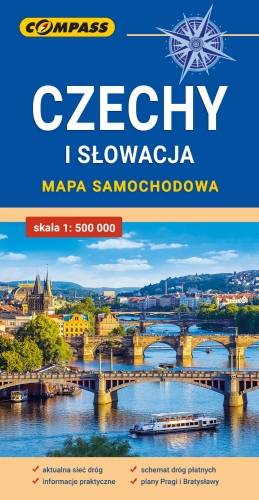
Mapa samochodowa Słowacji i Czech zawiera: aktualną sieć autostrad, dróg ekspresowych i głównych, z podziałem na dwupasmowe i jednopasmowe; drogi w budowie, numerację dróg oraz kilometraż. Na mapie zaznaczono: przejścia graniczne, Autostradowe Miejsca Obsługi Podróżnych, wybrane stacje benzynowe, parkingi i promy wodne, porty lotnicze, obszary leśne, parki narodowe, uzdrowiska, większe ośrodki narciarskie, obiekty na Liście UNESCO. Legenda w językach: polskim, angielskim, czeskim i słowackim.
Mapa dodatkowo zawiera:
- schemat dróg płatnych na Słowacji i w Czechach;
- wykaz węzłów na autostradach i drogach ekspresowych na Słowacji;
- plany Pragi i Bratysławy;
- schemat metra w Pradze;
- informacje praktyczne dla podróżujących samochodem po Słowacji i Czechach (m.in.: wybrane przepisy drogowe, wymagane dokumenty, obowiązkowe wyposażenie samochodu, rodzaje winiet).
Mapę offline można zakupić w aplikacji Traseo na urządzenia mobilne. Rok wydania 2020