The Central German Route (Mittelland-Route, D4) runs from Aachen at the borders with Belgium and the Netherlands all the way to Zittau at the borders with Poland and the Czech Republic. Approximately 1,026 kilometers in length, the route crosses five federal states: North Rhine-Westphalia, Rhineland-Palatinate, Hesse, Thuringia and Saxony. During the route, cyclists will cover 6022 meters of ascents and 6087 meters of descents. The highest point of the route is 650 m above sea level, while the lowest is 64 m above sea level. The route largely overlaps with the EuroVelo 3 and 4 routes and the Wasserburgenroute.
Route description, attractions
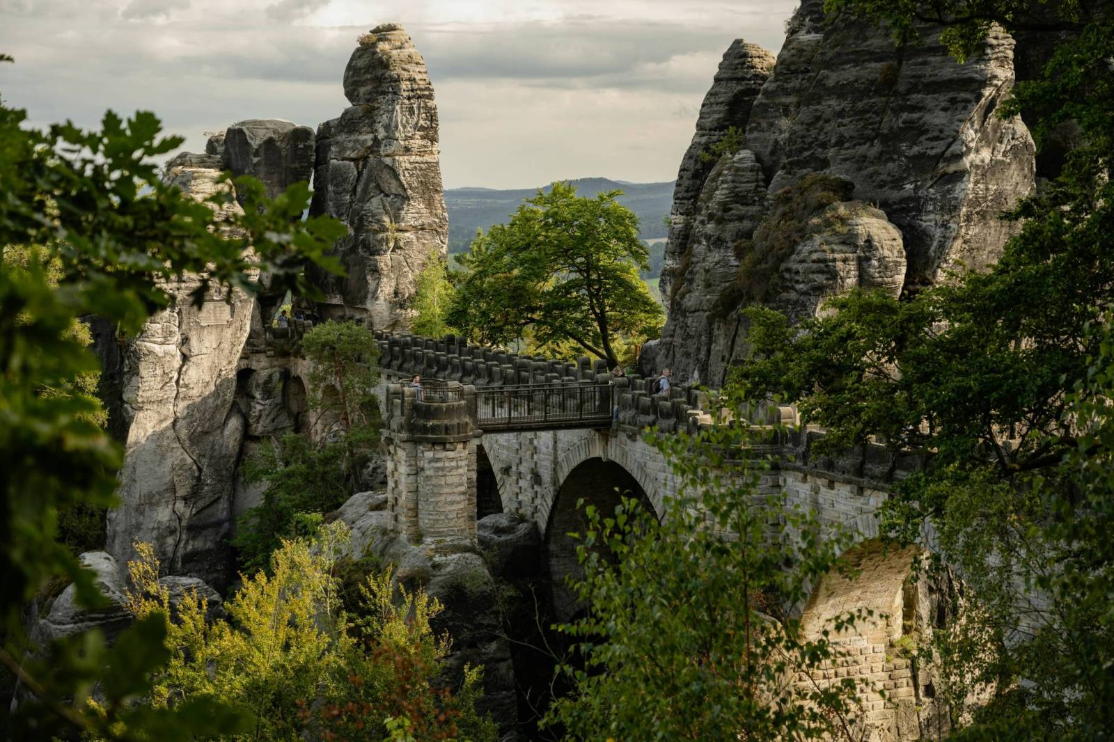
The D4 trail will be ideal for cyclists seeking a variety of landscapes and off-road challenges. It runs through forested low mountain regions such as the Rhenish Slate Mountains, the Thuringian Forest and the Saxon Switzerland, offering both flat sections and challenging climbs.The D4 trail will be ideal for cyclists seeking a variety of landscapes and off-road challenges. It runs through forested low mountain regions such as the Rhenish Slate Mountains, the Thuringian Forest and the Saxon Switzerland, offering both flat sections and challenging climbs. The start of the route in Aachen offers a visit to the UNESCO-listed Aachen Cathedral, and Elisenbrunnen, a neoclassical hall with hot springs. Leaving the city, the route winds through the hilly countryside of the Eifel and then heads toward the Rhine River, crossing charming villages and smaller forests. The next major city on the route is Germany's former capital Bonn, where you can visit Beethoven's house and the picturesque gardens along the Rhine. Continuing on, cyclists hit the Siegerland region, which runs along the Sieg River. This section is mostly quiet bike paths leading through wooded valleys, away from traffic, ideal for leisurely rides. In Hesse, the route passes through the Lahn River Valley, then Thuringia, one of Germany's greenest states. The route in this region is more physically demanding, as it passes through areas of the Thuringian Forest with many climbs and descents. After crossing the border with Saxony, the route heads towards Dresden, a pearl of Baroque architecture. Here it is worth making a longer stop to see the Zwinger, the Frauenkirche or the royal palace. A further part of the trail leads through a region with spectacular rock formations and picturesque views of the Elbe Valley - Saxon Switzerland. This is one of the most beautiful places on the entire route, especially recommended for photography and nature lovers. Approaching the end, cyclists reach Lusatia and the city of Zittau, where the official D4 route ends.
Route signage
Route markings can be uneven - in many sections they are clear and easy to see, but there are also sections where they can be less intuitive or incomplete. In such places, GPS apps or traditional bicycle maps prove helpful to help orient the route.
Level of difficulty of the route
The route passes through a variety of terrain, including mountainous areas, which requires good physical fitness.
Komentarze
NA TYCH TRASACH PRZYDA CI
SIĘ MAPOPRZEWODNIK LUB MAPA Z NASZEJ APLIKACJI
MAPA TURYSTYCZNA W APLIKACJI TRASEO
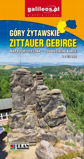
Góry Żytawskie
Mapa Gór Żytawskich obejmuje bardzo ciekawy obszar położony na styku Niemiec, Czech i Polski. Na mapie przedstawiono aktualny przebieg szlaków pieszych i rowerowych.
MAPA TURYSTYCZNA W APLIKACJI TRASEO
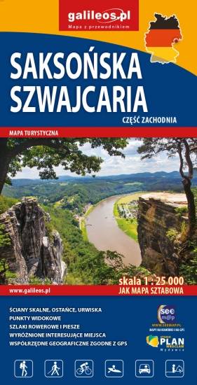
Saksońska Szwajcaria - część zachodnia
Mapa obejmuje zachodnią część Saksońskiej Szwajcarii w Niemczech. Na mapie zaznaczono kurorty i miasteczka oraz atrakcje turystyczne regionu niemieckich Gór Połabskich, ponadto jest tu: Bastei, Twierdza Königstein, Hohnstein z zamkiem, formy skalne Schrammsteine. Zawiera szlaki piesze i rowerowe oraz wszystkie informacje potrzebne turyście. Mapa opisana na siatce WGS 84, zgodna z polskimi systemami nawigacyjnymi.
MAPA TURYSTYCZNA W APLIKACJI TRASEO
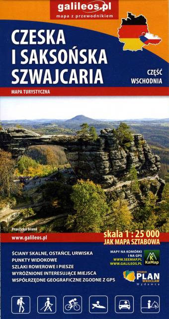
Szwajcaria Saksońska część wschodnia
Mapa obejmuje pogranicze Czeskiej i Saksońskiej Szwajcarii. Zaznaczono na niej wszystkie formy skalne regionu, kurorty i miasteczka oraz atrakcje przy nich, czyli: Sebnitz, Mikulášovice, Hinterhermsdorf, Jetřichovice, Růžová oraz Kuhnstal, Pravčicka brana, Idaggrottę, Affelsteione, spływy łodziami i inne. Na mapie oznaczono szlaki piesze i rowerowe oraz wszystkie informacje potrzebne turyście. Mapa opisana na siatce WGS 84, zgodna z polskimi systemami nawigacyjnymi. Rok wydania 2023
MAPA TURYSTYCZNA W APLIKACJI TRASEO
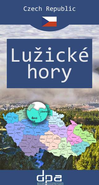
Góry Łużyckie
Góry Łużyckie – pasmo górskie w Sudetach, leżące na zachód od Gór Izerskich, na pograniczu czesko-niemieckim, między Ústí nad Labem, Żytawą a Libercem. Przez grzbiet Gór Łużyckich przebiega dział wodny oddzielający zlewisko Morza Bałtyckiego i Północnego. W centralnej części gór znajduje się kilka niewielkich jezior oraz kilka sztucznych zbiorników wodnych. Region pokrywają bogate lasy bukowo-jodłowe, ubogie buczyny, dąbrów podgórskie. W dolinach potoków występują lasy łęgowe jesionowo-olchowe. Obecnie duże połacie gór porastają wtórnie wprowadzone przez człowieka bory świerkowe. Już od XIII wieku w Górach Łużyckich rozwijało się szklarstwo, natomiast od XV wieku rozwijało się górnictwo i hutnictwo, które z przerwami funkcjonowało do 1911 r.
MAPA TURYSTYCZNA W APLIKACJI TRASEO
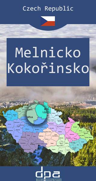
Okolice Melnika, Park krajobrazowy Kokořínsko
MAPA TURYSTYCZNA W APLIKACJI TRASEO
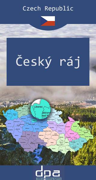
Czeski Raj
Czeski Raj to region turystyczny w północno-zachodnich Czechach, słynący z niezwykłych formacji przyrodniczych (m.in. skalne miasta, liczne skałki) oraz pamiątek historycznych (zamki, pałace). Jednocześnie stanowi najstarszy obszar chronionego krajobrazu w Czechach, utworzony w 1955 r. W 2005 r. niespełna 700 km² terenu Czeskiego Raju oznaczono jako geopark UNESCO. Jest to obszar niezwykle cenny geologicznie, przyrodniczo, kulturowo i historycznie, dlatego jest bardzo popularny wśród turystów (rocznie odwiedza go około 300 tysięcy osób). Znajdują się tutaj liczne szlaki turystyczne piesze i rowerowe (o znacznym stopniu trudności), wieże oraz punkty widokowe. W sezonie letnim kursują specjalne autobusy z okolicznych miejscowości. Czeski Raj otaczają miejscowości (najczęściej niewielkie miasteczka oraz wsie), w których przetrwała zabytkowa zabudowa, m.in.: Jiczyn, Mnichovo Hradiště, Rovensko pod Troskami, Sobotka, Turnov i Železný Brod.