


Charakterystyka trasy

Komentarze
NA TYCH TRASACH PRZYDA CI SIĘ MAPOPRZEWODNIK LUB MAPA Z NASZEJ APLIKACJI


Mapa Trójmiasta obejmuje swoim zasięgiem obszar Trójmiejskiego Parku Krajobrazowego od Wejherowa przez Redę, Rumię, Gdynię, Sopot aż do Gdańska. Na mapie ujęto wszystkie informacje przydatne turyście. Podano aktualne przebiegi szlaków pieszych, rowerowych, konnych, nordic walking i konnych, łącznie z kilometrażem.
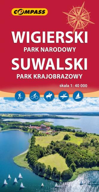
Mapa przedstawia najatrakcyjniejszy turystycznie fragment Suwalszczyzny, obejmujący Wigierski Park Narodowy i Suwalski Park Krajobrazowy. Zasięg mapy wyznaczają: Wiżajny na północy, Skajzgiry na zachodzie, Jezioro Blizno na południu oraz Pogorzelec na wschodzie.
Jest to region o wyjątkowo urokliwych krajobrazach. Zawdzięczamy je ostatniemu zlodowaceniu, po którym topniejące masy lodu i polodowcowe wody ukształtowały morenowe wzniesienia porozdzielane głębokimi dolinami rzecznymi i jeziorami z największym jeziorem Suwalszczyzny – Wigrami i najgłębszym polskim jeziorem – Hańczą na czele. Polodowcową pamiątką są liczne, okazałe głazy tworzące głazowiska, przetransportowane tu ze Skandynawii. Uroku dodają rozległe kompleksy Puszczy Augustowskiej, okalającej większą część linii brzegowej Jeziora Wigry.
Obszar ten to idealne miejsce dla amatorów sportów wodnych. Dużą popularnością cieszą się spływy kajakowe Czarną Hańczą. Warto również wybrać się na spacery i wycieczki rowerowe po Wigierskim Parku Narodowym i Suwalskim Parku Krajobrazowym. Rok wydania 2023
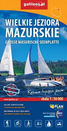
Przedstawia północną część krainy Wielkich Jezior Mazurskich. Zasięg mapy ograniczony jest miesjcowościami Węgorzewo na północy, jeziorem Gołdopiwo na wschodzie, Tałty na południu oraz Ryn i Kwiedzina na zachodzie. Mapa posiada informacje przydatne dla żeglarzy, zawiera szczegółowe informacje dotyczące przystani wraz z ich infrastrukturą, miejsca czarterów, oraz specjalne oznakowania na jeziorach a także ich batymetrię. Na mapie naniesiono również szlaki piesze, rowerowe, konne, kajakowe i ścieżki dydaktyczne, formy ochrony przyrody, bazę noclegową i gastronomiczną, najważniejsze atrakcje turystyczne.

Mapa turystyczna "Park Krajobrazowy Mierzeja Wiślana" została opracowana we współpracy z pracownikami tegoż Parku, dzięki czemu stanowi dokładne i rzetelne źródło informacji na temat tego obszaru. Mapa Mierzei Wiślanej doskonale nadaje się do uprawiania zarówno turystyki pieszej, jak i rowerowej. Mapa swoim obszarem zamyka się na zachodzie przy Mikoszewie, na wschodzie zaś przy Fromborku.

Mapa Kociewia i Powiśla w części wschodniej obejmuje obszar zamknięty przez Białą Górę na zachodzie, Kwidzyn na południu i Elbląd na północnym wschodzie. Mapa zawiera szczegółowy obraz terenu, wraz ze szlakami i atrakcjami turystycznymi. Na mapie Powiśla i Kociewia znajdziemy m.in. Szlak Żuław Szlak Kopernikowski, Międzynarodowy Szlak Rowerowy R1.
Kociewie jest to region etnograficzno-kulturowy na Pomorzu Gdańskim, położony na lewym brzegu Wisły w dorzeczu Wdy i Wierzycy, obejmujący wschodnią część Borów Tucholskich. W przybliżeniu Kociewie zajmuje obszar obecnych powiatów starogardzkiego, tczewskiego i północnej części świeckiego, zamieszkany przez ok. 350 tys. mieszkańców. Część mieszkańców regionu posługuje się gwarami kociewskimi.