



Charakterystyka trasy

Komentarze
NA TYCH TRASACH PRZYDA CI SIĘ MAPOPRZEWODNIK LUB MAPA Z NASZEJ APLIKACJI

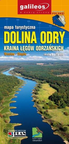
Mapa częsci zachodniej Doliny Baryczy obejmuje obszar od Rudy Sułowskiej do ujścia Baryczy do Odry. Jest to obszar ograniczony współrzędnymi 16°16’ - 17°09’ długości geograficznej wschodniej oraz 51°19’-51°42’ szerokości geograficznej północnej. Zaznaczono tu wszystkie szlaki piesze, rowerowe, konne i kajakowe oraz ścieżki przyrodnicze i edukacyjne podając ich długość. Mapa aktualizowana w terenie, zawiera atrakcje przyrodnicze i bazę noclegową oraz ciekawostka - gniazda bocianie.

Mapa obejmuje obszar Dolnośląskiej Krainy Rowerowej, czyli obszar pow. górowskiego, pow. trzebnickiego, pow. milickiego oraz gmin: Wołów, Twardogóra i Dobroszyce. Zaznaczono tu wszystkie szlaki piesze, rowerowe, konne i kajakowe oraz ścieżki przyrodnicze i edukacyjne. Szczególnie zostały uwypuklone drogi rowerowe istniejące, w budowie i planowane. Mapa zawiera atrakcje turystyczne, przyrodnicze i bazę noclegową. Dodatkowo zostały zaznaczone miejsca przyjazne rowerzystom. Część opisowa zilustrowana fotografiami, obejmuje obszar mapy w podziale na regiony, wybrane szlaki rowerowe oraz krótką charakterystykę miejsc przyjaznych rowerzystom.
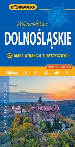
Wybrać około 100 atrakcji z tego regionu to niezwykle trudne zadanie. Miejsc szczególnych, wartych odwiedzenia jest tutaj znacznie więcej. Subiektywnego wyboru dokonał – opierając się na doświadczeniu jako pilota wycieczek, przewodnika turystycznego i górskiego – Waldemar Brygier (naszesudety.pl). Wśród polecanych atrakcji: zamki, pałace, muzea, skanseny, kopalnie, twierdze, osobliwości przyrody, uzdrowiska i wiele innych. Zapraszamy do lektury! Mapę offline można zakupić w aplikacji Traseo na urządzenia mobilne. Rok wydania 2019