category-icon

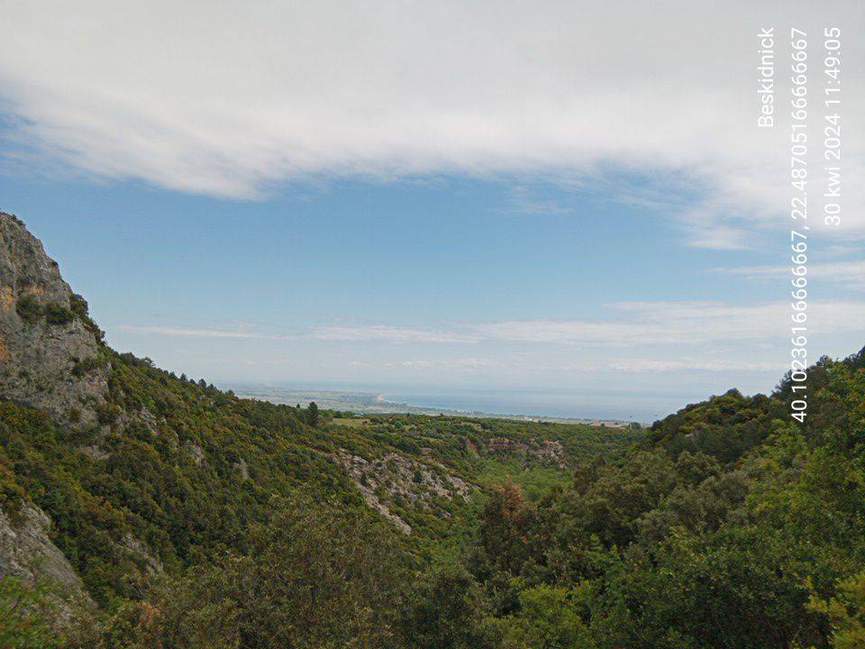
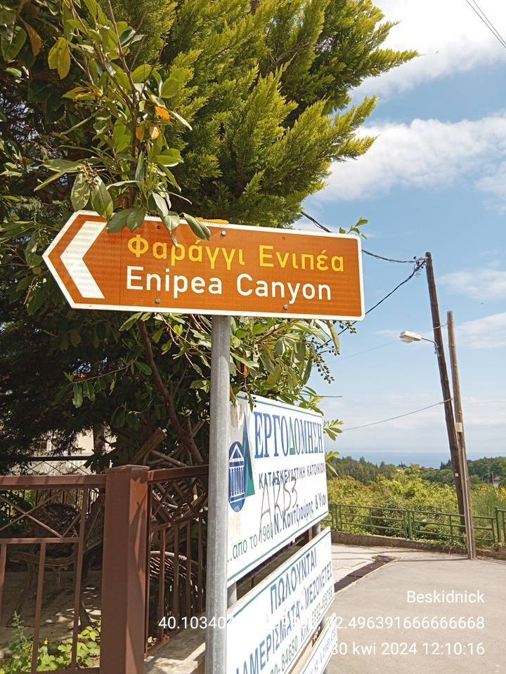
Litochoro oraz wąwóz i wodospad Enipea

5.7 km
1 h 50 min
114 m
105 m
Litochoro
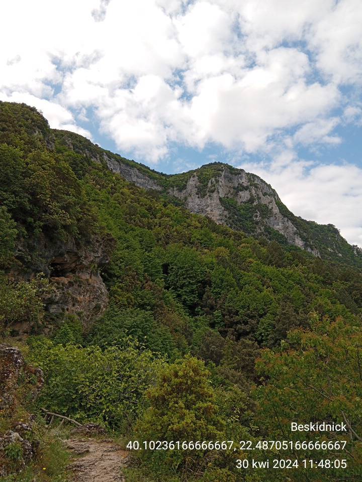
Zdjęcie 1
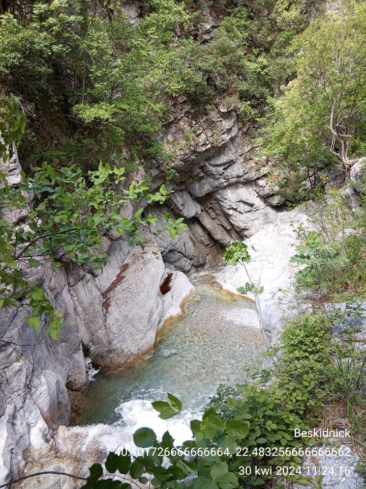
Zdjęcie 2
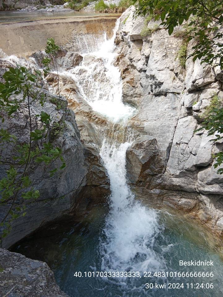
Zdjęcie 3
Zdjęcie 4
Zdjęcie 5
Zdjęcie 6

Charakterystyka trasy

2024-04-30
Litochoro
category-icon
Długość trasy:
5.7 km
Suma przewyższeń:
114 m
Suma spadków:
105 m
Średni czas potrzebny na pokonanie trasy:
1 h 50 min
Ocena trasy:
2.9/6

Komentarze

NA TYCH TRASACH PRZYDA CI SIĘ MAPOPRZEWODNIK LUB MAPA Z NASZEJ APLIKACJI

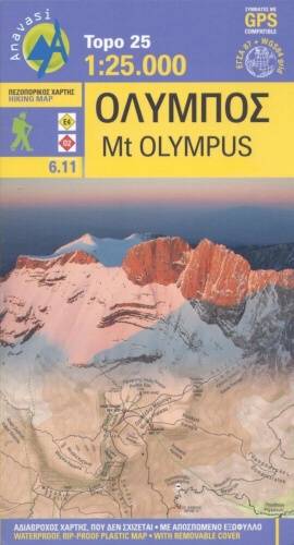
Mt Olympus
MAPA TURYSTYCZNA W APLIKACJI TRASEO
Mt Olympus

The hiking map of Mt Olympus in Greece is by far the most comprehensive map of the renowed mythic mountain. It covers the entire massif in great detail (20 m contours, all the paths, springs, refuges etc).