category-icon

Legnica-Lubin-Legnica

65 km
3 h 34 min
240 m
Polska, dolnośląskie, Legnica

Route characteristics

2011-05-27
Polska, dolnośląskie, Legnica
category-icon
65 km
240 m
238 m
3 h 34 min
3.3/6

Comments

You may find the map from our app useful on this route

Kaczawskie Mountains and Kaczawskie Piedmont
TOURIST MAP IN THE TRASEO APP
Kaczawskie Mountains and Kaczawskie Piedmont

Góry Kaczawskie are a mountain range in the Western Sudetes in Poland, in the Lower Silesian Voivodeship. The highest peak is Skopiec (724 m). Map range: Legnica to the north and Jelenia Góra to the south. It depicts also area of the Dolina Bobru Landscape Park and the Chełmy Landscape Park. Tourist attractions, as well as cycling and walking trails are marked on the map.

Odra Valley
TOURIST MAP IN THE TRASEO APP
Odra Valley

The map covers Odra Valley from Wrocław to Głogów, in the Lower Silesian Voivodeship, southern Poland. Tourist attractions, cycling and walking trails are marked on the map.

Lubusz Land
TOURIST MAP IN THE TRASEO APP
Lubusz Land

The map covers the Lubusz Voivodeship in western Poland. Monuments, cycling and walking trails and other information useful for tourists are marked on the map. Most interesting places are depicted with coloured graphic symbols.

Województwo Dolnośląskie - mapa atrakcji turystycznych
TOURIST MAP IN THE TRASEO APP
Województwo Dolnośląskie - mapa atrakcji turystycznych

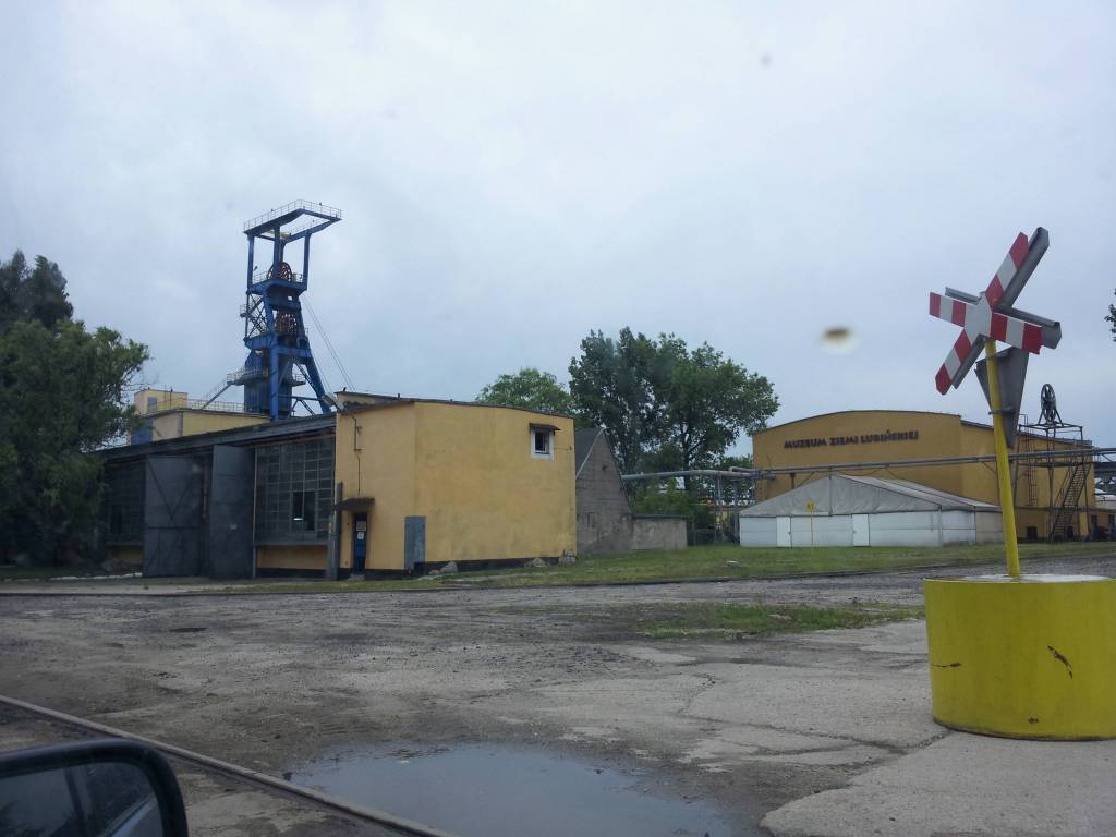
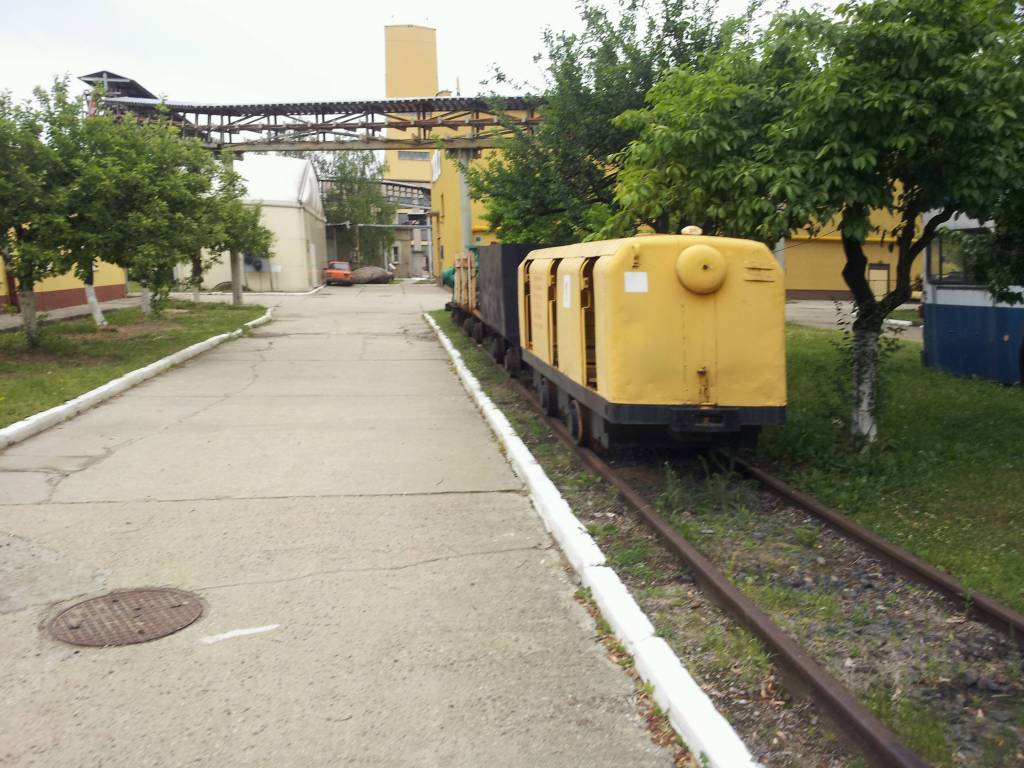
Wybrać około 100 atrakcji z tego regionu to niezwykle trudne zadanie. Miejsc szczególnych, wartych odwiedzenia jest tutaj znacznie więcej. Subiektywnego wyboru dokonał – opierając się na doświadczeniu jako pilota wycieczek, przewodnika turystycznego i górskiego – Waldemar Brygier (naszesudety.pl). Wśród polecanych atrakcji: zamki, pałace, muzea, skanseny, kopalnie, twierdze, osobliwości przyrody, uzdrowiska i wiele innych. Zapraszamy do lektury! Mapę offline można zakupić w aplikacji Traseo na urządzenia mobilne. Rok wydania 2019

Towns on the route