


Charakterystyka trasy

Komentarze
NA TYCH TRASACH PRZYDA CI SIĘ MAPOPRZEWODNIK LUB MAPA Z NASZEJ APLIKACJI
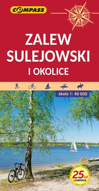
This map shows the surroundings of one of the largest artificial water reservoirs in Poland. The Sulejowski Reservoir stretches between Sulejów and Smardzewice from south-west to north-east. Thanks to the larger sheet, the coverage of this edition of the map has been significantly extended, and is delimited by Tomaszów Mazowiecki to the north, Piotrków Trybunalski to the west, Sulejów to the south and Sławno to the east. The map is addressed to enthusiasts of water sports, cycling and hiking.
The Reservoir’s asset is its natural and varied shoreline, mostly overgrown with pine forests and featuring numerous beaches. The attractive natural environment combined with good tourist facilities guarantee a pleasant holiday.
On the back of the map, you will find sightseeing, angling and sailing information.
Year of issue: 2021
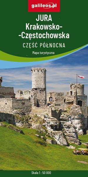
Mapa przedstawia północną część jury Krakowsko-Częstochowskiej - obszar usiany skalnymi ostańcami z wąwozami i płaskowyżami. Są tu też zamki i pałace. Zasięg mapy wyznaczają: Częstochowa Koniecpol, Zawiercie, Miasteczko Śląskie. Gęsta sieć szlaków turystycznych, które umożliwiają dogodne dotarcie do wszystkich najciekawszych zakątków. Wszystkie szlaki (piesze, rowerowe, konne) posiadają między punktami węzłowymi odległości– dzięki temu można zaplanować wycieczkę.
Mapa przygotowana wyłącznie w wersji cyfrowej – brak dostępnej wersji papierowej.
Mapa Jury Krakowsko-Częstochowskiej, fragmentu położonego bliżej Częstochowy. Zasięg mapy wyznaczają miejscowości: Częstochowa, Blachownia, Pajęczno, Radomsko. Zaznaczono tu szlaki piesze, rowerowe i konne wraz z zaznaczonymi odległościami.
Mapa została wydana jedynie w formie cyfrowej - brak dostępnej wersji papierowej.

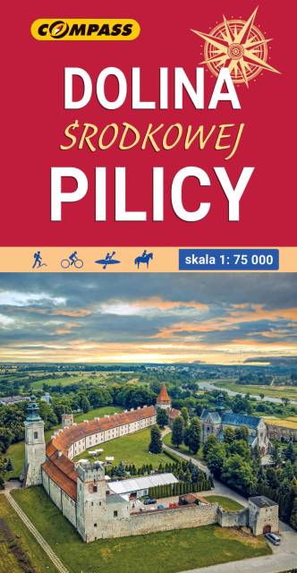
Pilica is a river in central Poland, the longest left tributary of the Vistula river, with a length of 319 kilometres (8th longest) and the basin area of 9,273 km2 (all in Poland). It flows through the Polish Jura, after which it enters Central Polish Plains. Pilica flows into the Vistula near the village of Ostrowek, in a geographical region of Central Vistula Valley. In 1974, a dam was built near Sulejow, resulting in the creation of man-made reservoir Sulejow Lake, which has the area of 2,700 hectares. The region in the basin of the Pilica is sometimes called Nadpilicze, and the river itself marks boundary between Lesser Poland, and two other historical provinces of the country, Greater Poland and Mazovia. Map range: Rokiciny-Kolonia to the north, Piotrków-Trybunalski to the west, Szczekociny to the south and Nowe-Miasto, Drzewica, Małogoszcz to the east. Map depicts Sulejowskie Lake, Sulejowski Landscape Park, Spalski Landscape Park, Przedborski Landscape Park nad cities of: Piotrków Trybunalski, Tomaszów Mazowiecki, Opoczno, Sulejów, Przedbórz, Włoszczowa, Koniecpol. Pilica canoeing trail is marked on the map, as well as walking, cycling and horce trails.