


Charakterystyka trasy

Komentarze
NA TYCH TRASACH PRZYDA CI SIĘ MAPOPRZEWODNIK LUB MAPA Z NASZEJ APLIKACJI
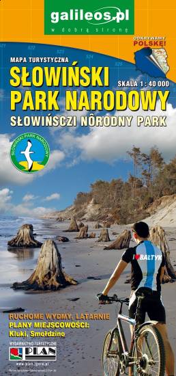
The Słowiński National Park is a national park in the Pomeranian Voivodeship, northern Poland. It is situated on the Baltic coast, between Łeba and Rowy. The map range: Łeba to the east, Ustka to the west, Warblino to the south. The area is covered by a network of walking and cycling trails, which are marked on the map.
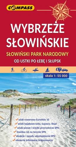
The map presents an interesting, and at the same time extremely popular section of the Polish coast - from Ustka to Łeba. The southern extent of the map is marked by: Słupsk and Potęgowo.
It is a great area not only for leisure, but also for sightseeing. Beautiful beaches, including the famous cliffs in Dębina, the impressive dunes of the Słowiński National Park, the legacy of former inhabitants and a whole lot of other attractions. A vast network of hiking trails encourages active exploring. Cyclists are particularly fond of this region.
The map shows: a network of tourist trails, ports and harbours, coastal fortifications, lighthouses, accommodation and restaurants. Additionally, the numbers of entrances to the beaches have been added. The course of the trails, as well as other tourist infrastructure, was thoroughly checked during field verification. Special attention should be paid to the international cycling route Eurovelo 10. On the reverse side of the map you will find a tourist guide with numerous photographs.
Year of issue: 2021
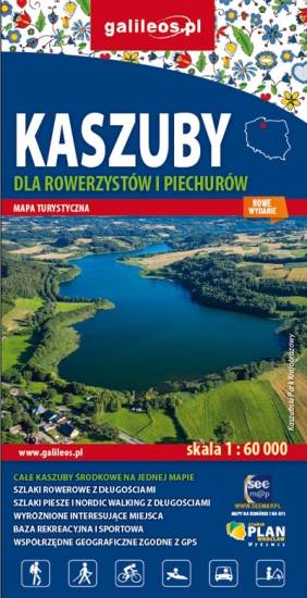
Mapa Kaszub dla rowerzystów i piechurów część północna. Zasięg mapy ograniczony jest miejscowościami: Lipusz i Sulęczyno na zachodzie, Lębork i Nowy Dwór Wejherowski na północy, Żukowo i Przywidz na wschodzie oraz Gołuń i Wdzydze Kiszewskie na południu. Na mapie uwgzlędniono trasy rowerowe, szlaki piesze i Nordic Walking z długościami. Dodatkowo zaznaczone zostały drogi polne, leśne oraz szlaki kajakowe. Są tu też zabytki, noclegi, muzea, punkty widokowe, szczególnie warte odwiedzenia miejsca zaznaczono żółtą ramką.
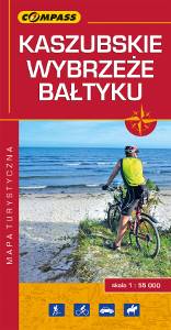
Kashubian Lake District is a region in nothern Poland, largely populated by Kashubians, from which the name of the region originates. In this characteristic post-glacial landscape with hills rising up to 656 feet above sea level, there are almost 250 lakes. At the same time, it is also one of the largest forest areas in Poland. All the hiking and walking routes, tourist attractions, fortifications and lighthouses are marked on the map.