
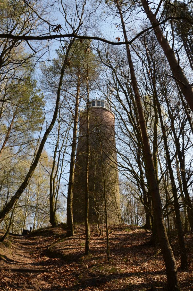
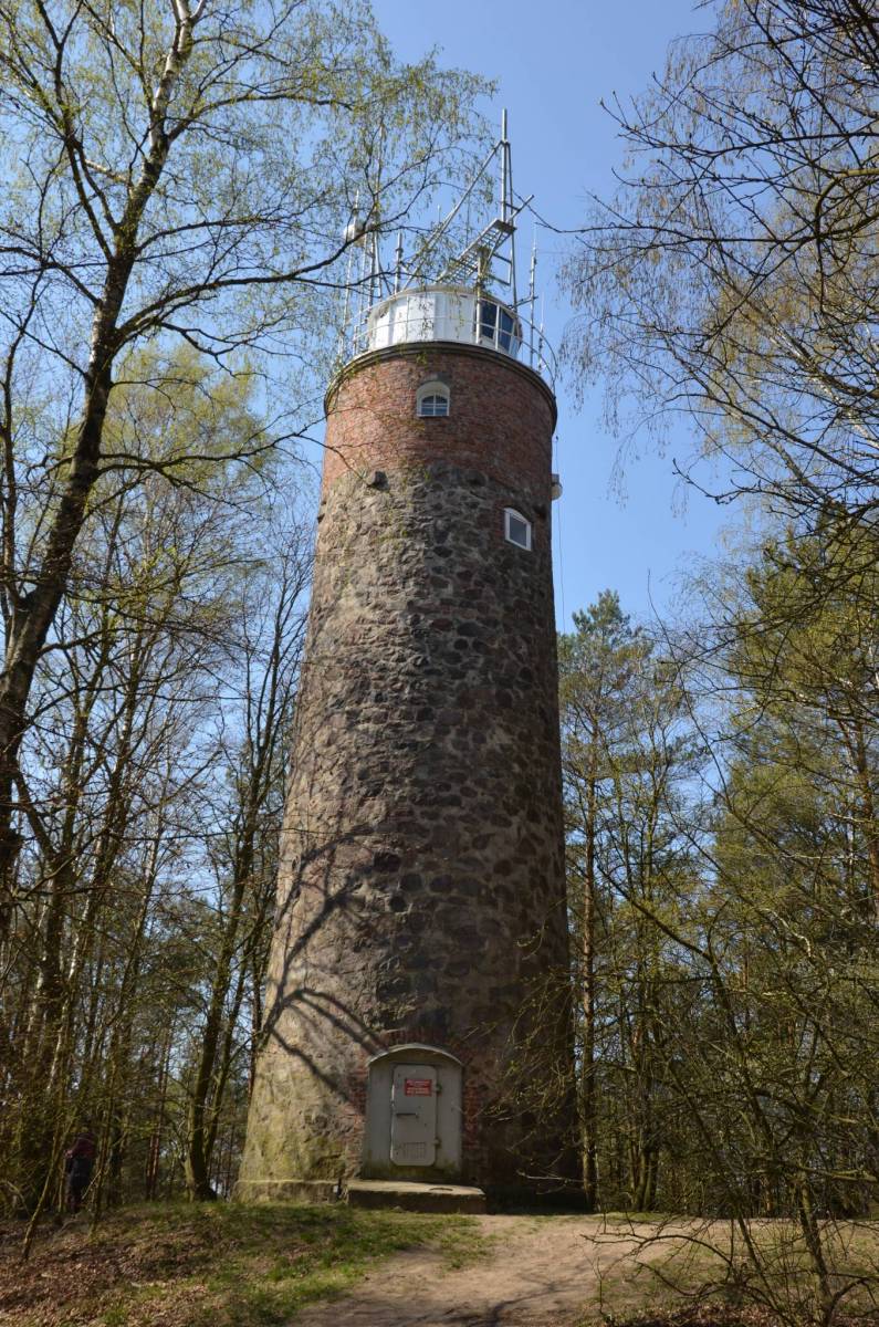

MarcinWycieczka_z_przewodnikiem
Charakterystyka trasy
2019-04-07
Wisełka

Długość trasy:
1 kmSuma przewyższeń:
0 mSuma spadków:
0 mŚredni czas potrzebny na pokonanie trasy:
35 minOcena trasy:
2.9/6Komentarze
NA TYCH TRASACH PRZYDA CI SIĘ MAPOPRZEWODNIK LUB MAPA Z NASZEJ APLIKACJI
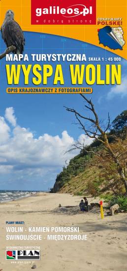
MAPA TURYSTYCZNA W APLIKACJI TRASEO
Wolin Island
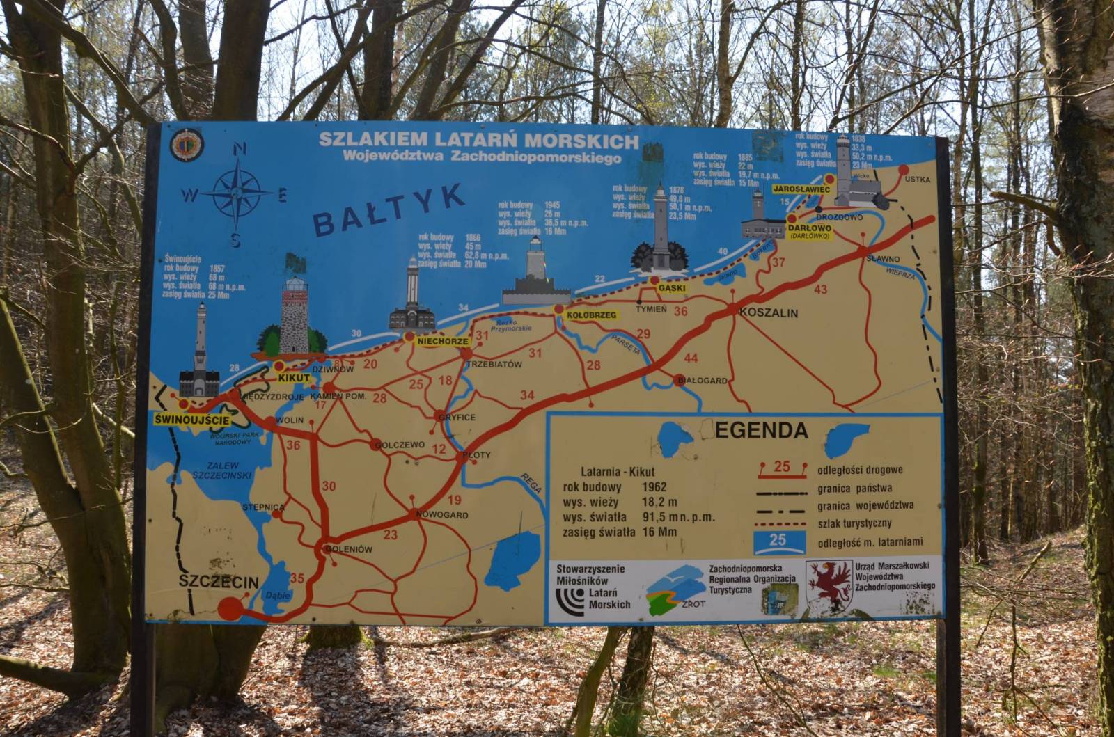
Wolin is a name of the Polish island in the Baltic Sea, just off the Polish coast. Administratively the island belongs to the West Pomeranian Voivodeship in Poland. Most of the island consists of forests and postglacial hills. In the middle is the Wolin National Park. The island is a main tourist attraction of northwestern Poland, and it is crossed by several specially marked tourist trails.