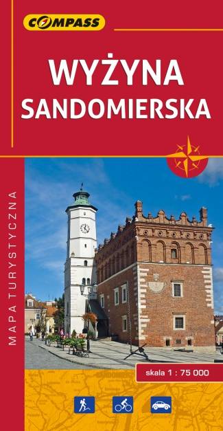
Sandomierz
Szlakiem kameralnych przyjemności
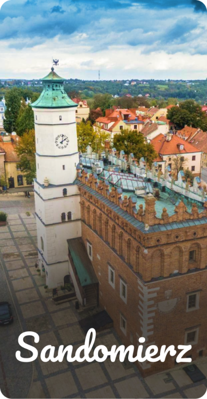
Na mapie Polski niewiele jest miejsc z duszą, w których ludzie z pasją odnajdują inspirującą moc tworzenia i życia. W Sandomierzu realizują się plany i spełniają marzenia, a czas staje się wartością względną. Podczas wizyty można zakosztować wielu „kameralnych przyjemności”, spośród których najbardziej popularnymi są tematyczne spacery po mieście. Dostępne trasy zwiedzania Królewskiego Miasta to propozycja, z której może skorzystać każdy. Zaplanowane wspólne wycieczki pozwolą odkryć to, co najciekawsze, ukryte i nieoczywiste. Dlatego właśnie Sandomierz, dzięki swojej niepowtarzalnej energii jest idealną propozycją na wycieczkę każdą porą roku.
Zapraszamy do odkrywania Sandomierza Szlakiem Kameralnych Przyjemności.