
Łukaszlukas
Charakterystyka trasy
2019-05-27
Kytlice

Długość trasy:
173 kmSuma przewyższeń:
1515 mSuma spadków:
1779 mŚredni czas potrzebny na pokonanie trasy:
8 h 19 minOcena trasy:
2.9/6Komentarze
NA TYCH TRASACH PRZYDA CI SIĘ MAPOPRZEWODNIK LUB MAPA Z NASZEJ APLIKACJI

MAPA TURYSTYCZNA W APLIKACJI TRASEO
Góry Izerskie - mapa interaktywna
Jedna z najdokładniejszych na rynku map Gór Izerskich. Zawiera najważniejsze grzbiety zarówno po polskiej, jak i czeskiej stronie Gór Izerskich i Jizerskych hor. Mapa została zaktualizowana w terenie i zawiea najważniejsze atrakcje turystyczne i krajoznawcze. Oznaczono na niej szlaki turystyczen: piesze i rowerowe wraz z czasami przejść. Rok wydania 2022

MAPA TURYSTYCZNA W APLIKACJI TRASEO
Jizera Mountains
Jizera Mountains are part of the Western Sudetes on the border between the Czech Republic and Poland. The map range: Liberec to the west (Czech Republic), Gryfów Śląski to the north, Dolina Bobru Landscape Park to the east. Szklarska Poręba, Jakuszyce and Harrachov resorts are also on the map.

MAPA TURYSTYCZNA W APLIKACJI TRASEO
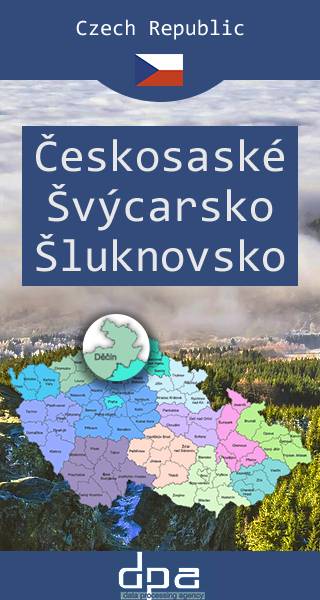
Bohemian Switzerland, Šluknov Region
Bohemian Switzerland (Czech: České Švýcarsko), also known as Czech Switzerland, is a picturesque region in the north-western Czech Republic. It lies on the Czech side of the Elbe Sandstone Mountains north of Děčín on both sides of the Elbe River. It extends eastward into the Lusatian Mountains and westward into the Ore Mountains. Its highest elevation is the mountain Děčínský Sněžník at 726 m above sea level. It has been a protected area (as ChKO Labske Piskovce) since 1972. The National Park is adjacent to the Saxon Switzerland National Park (Sächsische Schweiz) in Germany.