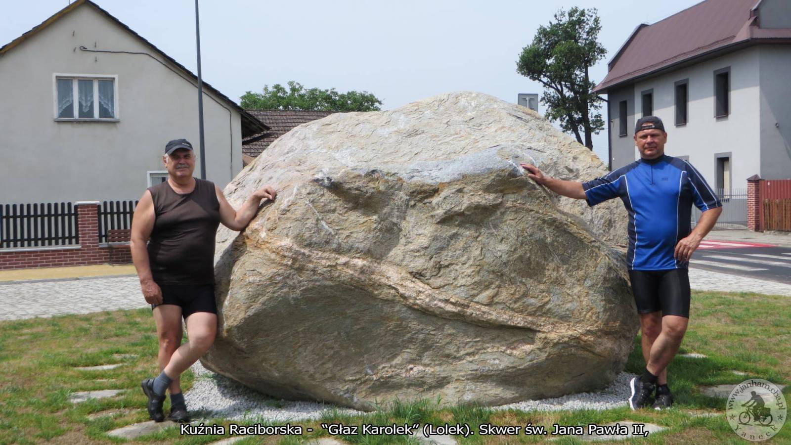
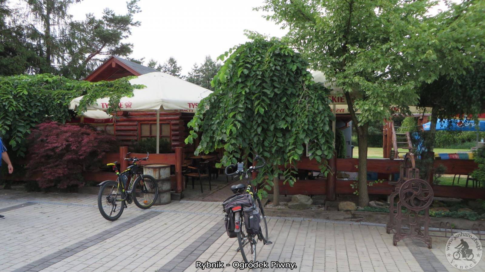
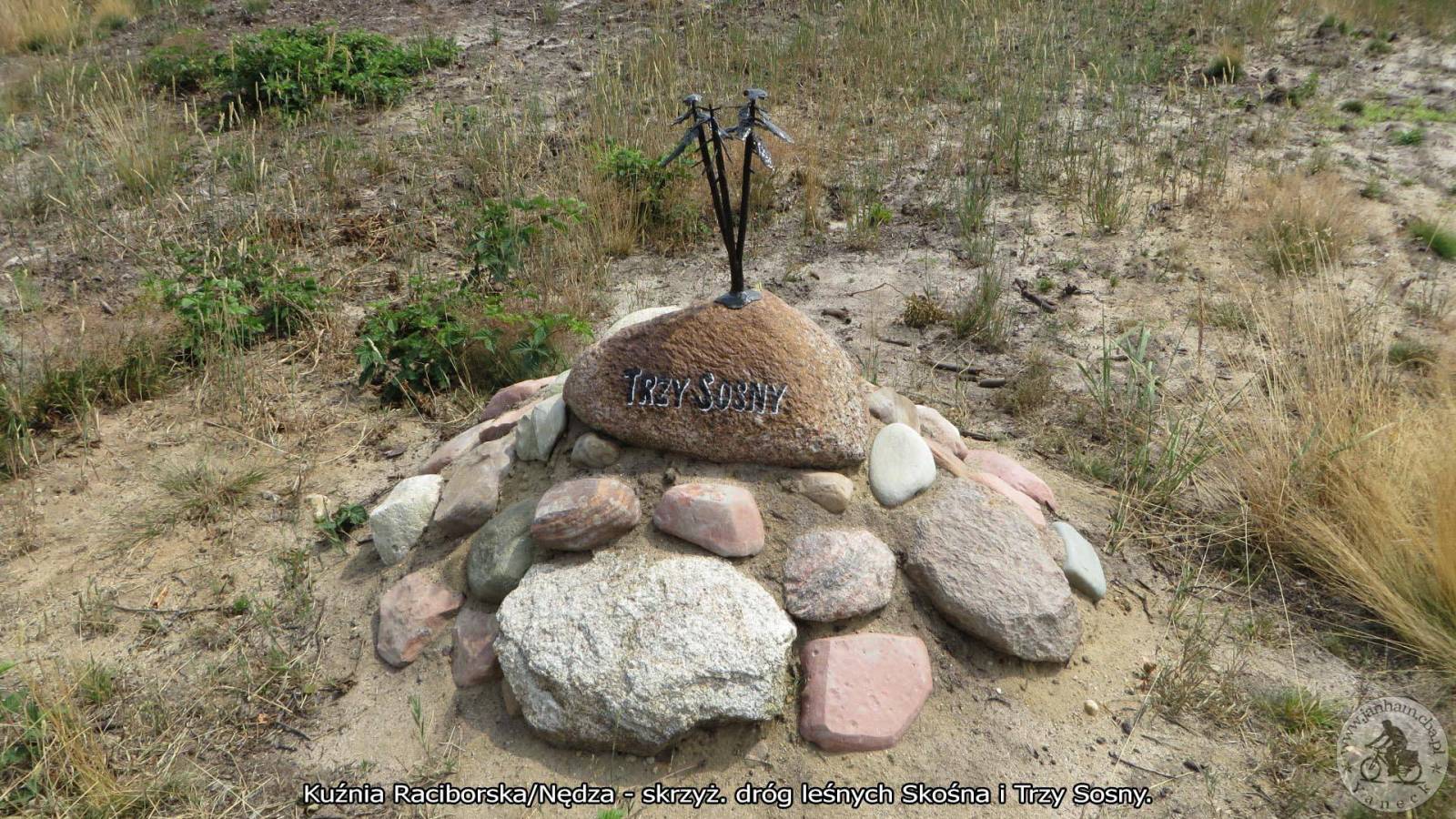
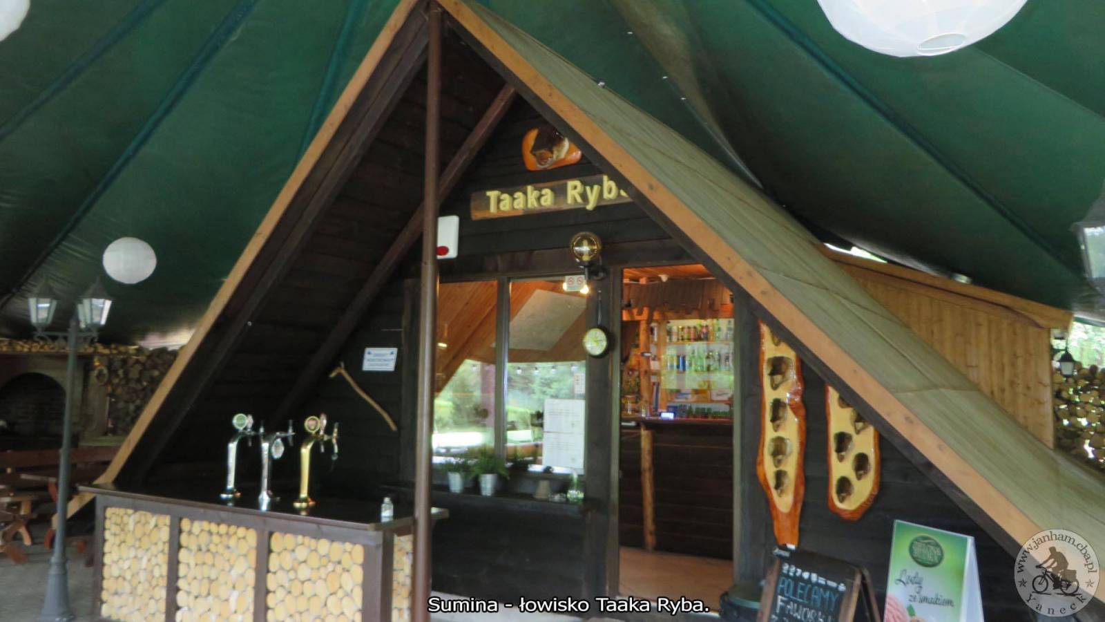
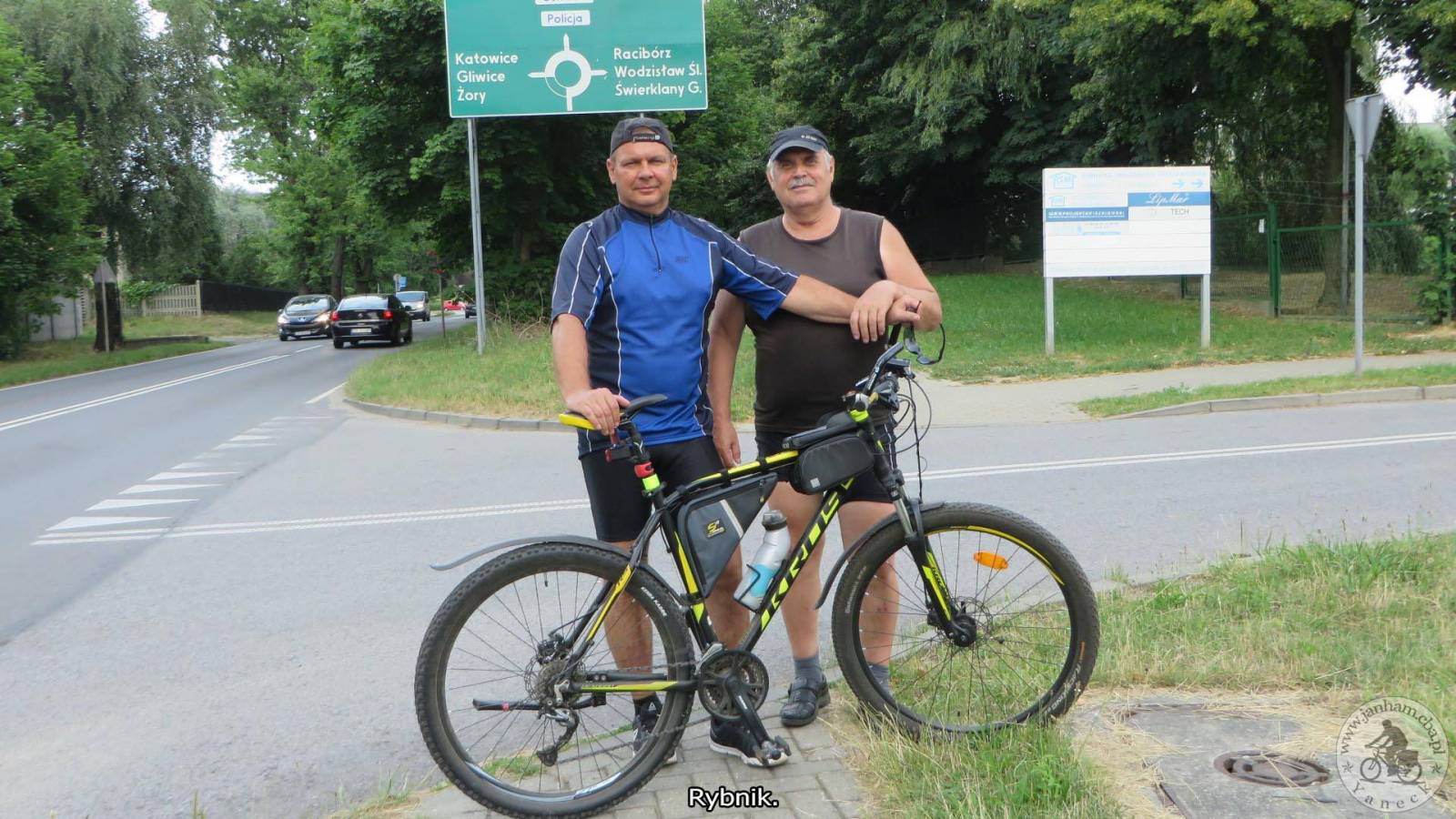
Wyjazd wraz z kolegą Piotrem do Kuźni Raciborskiej celem odszukania ciekawych i zabytkowych miejsc. Trasa: Rybnik, Borki, Gzel, DP 91 Gzelska obok Jeziorka Goj do Zwonowic, Jankowice, Góra Zamkowa Schlossberg, droga leśna Pańska, staw Sołtysek i Kuźnia Raciborska. Tu dużo ciekawych i historycznych miejsc: Skwer na Arki Bożka z drewniana figura i tablica Antona M. Schoenawy, Kapliczka św. Jana Nepomucena, kościół pw. św. Marii Magdaleny, Pomnik Ofiar I i II wojny światowej, Stary zabytkowy cmentarz przykościelny, Plac Zwycięstwa, Pomnik Zwycięstwa z tablicami m.in. saperów, pożaru, głaz narzutowy "Pępek Świata", Kamień pamiątkowy obok remizy OSP oraz Zabytkowa sikawka, Figura św. Jana Nepomucena z1747r, Skwer św. Jana Pawła II i ogromny głaz Karolek, Krzyż tzw. Titanic ufundowany przez rodzinę Piechnitzek za ocalenie życia marynarza Roberta Piechniczka, Cmentarz parafialny z ciekawymi nagrobkami rodziny Antona Magnusa Schoenawa, Zabytkowa Kolumna Maryjna z 1899r, Grób jeńców wojennych z 1918r, Zakład Pielęgnacyjno - Opiekuńczy, Ośrodek Rekreacyjny- Wodny "Wodnik", Tablica pamiątkowa Alfonsa Górnika pierwszego międzywojennego prezydenta Katowic i inne ciekawe miejsca. Powrót to: ul. Raciborska dalej droga leśna Skośna, Nędza do ścieżki obok torów kolejowych, dworzec PKP Szymocice, Górki Śląskie, Sumina PKP, Sumina Taaka Ryba, Jejkowice i do domu. Cała trasa wg licznika to 54.45 km. Więcej: https://www.janham.cba.pl/index.php?option=com_content&view=article&id=191&Itemid=363
Komentarze
NA TYCH TRASACH PRZYDA CI
SIĘ MAPOPRZEWODNIK LUB MAPA Z NASZEJ APLIKACJI
MAPA TURYSTYCZNA W APLIKACJI TRASEO
Gliwice Area
The map covers part of the Silesian Voivodeship in southern Poland: Gliwice city and its surroundings. Lot of information useful for tourists is marked on the map: monuments, accomodation facilities, protected areas, cycling and walking trails. The most interesting places are highlighted with a yellow frame.
MAPA TURYSTYCZNA W APLIKACJI TRASEO
Racibórz County
The map presents the Racibórz County in the Upper Silesia region, Poland. It is comprised of five municipalities: Racibórz, Kornowac, Nędza, Kuźnia Raciborska, Rudnik, Pietrowice Wielkie, Krzanowice, Krzyżanowice. The most interesting places are highlighted with a yellow frame. Cycling, walking and didactic trails are marked on the map.
MAPA TURYSTYCZNA W APLIKACJI TRASEO
Rybnik Region
The map range: Żory in Poland to the east, Karviná in Czech Republic to the south, Wodzisław Śląski (Poland) and Ostrava suburbs (Czech Republic) to the west, and Gliwice suburbs (Poland) to the north. Tourist attractions, cycling and walking trails, boundaries of protected areas, as well as accomodation facilities are marked on the map.
MAPA TURYSTYCZNA W APLIKACJI TRASEO
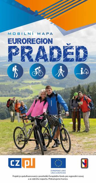
Euroregion Praděd
Turistická mapa Euroregionu Praděd zahrnuje území česko-polského příhraničí: na české straně okresy Jeseník a Bruntál, na polské straně Opolské vojvodství. Speciálně zpracovaný kartografický podklad obsahuje nezbytné informace pro aktivní turistiku v přeshraniční oblasti: pěší, jezdecké, cyklistické stezky a další významné objekty infrastruktury cestovního ruchu.
Mapa byla zpracována v rámci projektu „E-bike moderní turistika" spolufinancovaného z prostředků Evropského fondu pro regionální rozvoj a ze státního rozpočtu. „Překračujeme hranice"
MAPA TURYSTYCZNA W APLIKACJI TRASEO
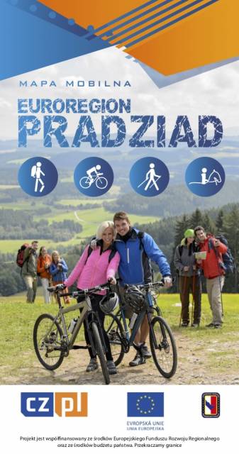
Euroregion Pradziad
The tourist map of the Pradziad Euroregion covers the area of the Polish-Czech border region: the Opolskie voivodeship on the Polish side and the Jeseník and Bruntál regions on the Czech side. A specially developed cartographic base contains necessary information for active tourism in the cross-border region: hiking trails, horse riding trails, cycle routes and others.
The map was produced under the project "E-bike modern tourism" co-financed by the European Regional Development Fund and the state budget. "We cross borders".
MAPA TURYSTYCZNA W APLIKACJI TRASEO
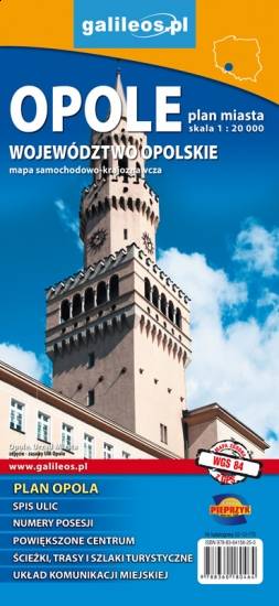
Opole and Opole Voivodeship
The map covers the Opole Voivodeship in 1:190 000 scale and Opole city in 1:20 000 scale. On the map there are depicted present courses of roads, borders of counties and municipalities, petrol stations, hotels, parkings and monuments.