
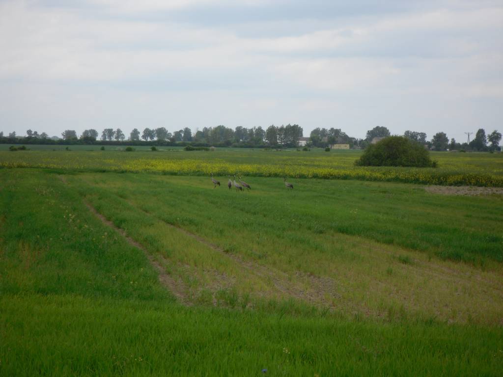

Charakterystyka trasy

Komentarze
NA TYCH TRASACH PRZYDA CI SIĘ MAPOPRZEWODNIK LUB MAPA Z NASZEJ APLIKACJI
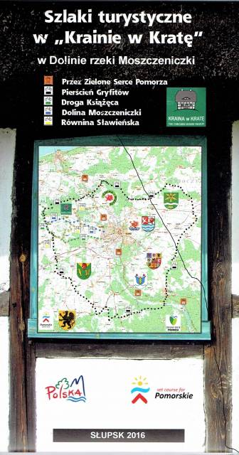
Najnowsza mapa regionu, której głównym elementem jest Pierścień Gryfitów. Mapa jest dostowana zarówno do wędrówek pieszych, jak i rowerowych oraz samochodowych wycieczek. Sam Pierścień Gryfitów, to długa trasa rowerowa, na której przemierzenie należy przeznaczyć co najmniej dwa dni. Dzięki mapie Krainy w Kratę można dobrze rozplanować podróż, uwzględniając okoliczne atrakcje. Przystępna skala 1:50 000 pozwala łatwo nawigować w ternie i zawsze odnaleźć właściwą drogę. Na mapie znajdziemy także Słupsk, który zwany jest Paryżem Północy, który swoim wyglądem przypomina zielony ogród pełen kwiatów.
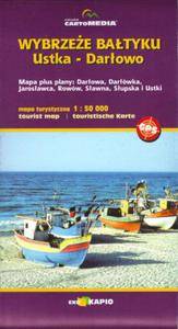
Mapa turystyczna "Wybrzeże Bałtyku. Ustka - Darłowo" prezentuje przede wszystkim liczne szlaki piesze i rowerowe, znaleźć na niej można także szlaki kajakowe. Dla łatwiejszej orientacji w terenie podano także nazwy ulic. Mapa Ustka - Darłowo obejmuje także obszary jeziora Wicko, jeziora Kopań oraz fragment Jeziora Bukowo.