


Charakterystyka trasy

Komentarze
NA TYCH TRASACH PRZYDA CI SIĘ MAPOPRZEWODNIK LUB MAPA Z NASZEJ APLIKACJI
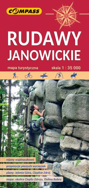
Bardzo dokładna, aktualizowana w terenie mapa turystyczna Rudaw Janowickich z zaznaczonymi szlakami pieszymi i rowerowymi z czasami przejść poszczególnych odcinków. Na mapie zaznaczono skały wspinaczkowe, z których słynie region i najważniejsze atrakcje turystyczne. Rok wydania: 2022
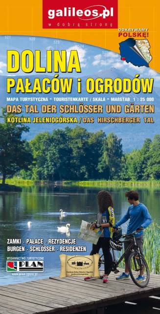
Dolina Pałaców i Ogrodów to bardzo dokładna mapa turystyczna obejmująca swym zasięgiem obszar Kotliny Jeleniogórskiej oraz część Rudaw Janowickich i Gór Kaczawskich. Na mapie oznaczono czasy przejścia na poszczególnych szlakach turystycznych. Rok wydania 2019
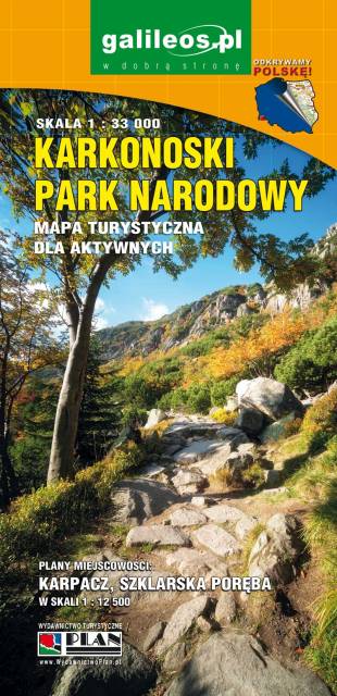
Mapa wydawnictwa Galileos w skali 1:33 000 obejmująca swoim zasięgiem obszar Karkonoskiego Parku Narodowego i okolic, została zaktualizowana w terenie. Karkonoski Park Narodowy to jeden z najbardziej popularnych wśród turystów regionów. Na mapie zaznaczono atrakcje turystyczne i krajoznawcze, a także informacje praktyczne. Oznaczono przebieg szlaków turystycznych: pieszych i rowerowych wraz z czasami przejść. Rok wydania 2020
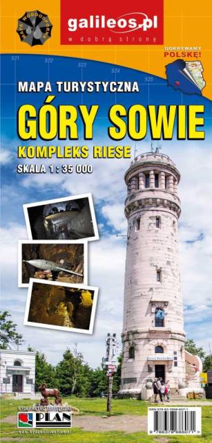
Mapa Gór Sowich Wydawnictwa Galileos z aktualnym przebiegiem szlaków turystycznych, zarówno pieszych jak i rowerowych. Wraz z czasem przejść. Zasięg mapy na północy wyznacza Świdnica, na wschodzie Bielawa, na południu Srebrna Góra i Nowa Ruda, na zachodzie Jedlina Zdrój. Rok wydania 2020

Mapa turystyczna "Góry Sowie" zamknięta jest przez: Wałbrzych na północnym-zachodzie, Broumov na zachodzie, Radków na południu, Srebrna Góra na południowym-wschodzie. Prawdziwą osobliwością tego obszaru są podziemne obiekty militarne. Jest to atrakcyjny teren na piesze i rowerowe wycieczki. Są tu dobre warunki dla miłośników MTB, narciarstwa zjazdowego i biegowego, jazdy konnej. Na mapie oznaczono szlaki turystyczne: piesze i rowerowe. Rok wydania 2024
Mapa Karkonosze przedstawia najwyższe pasmo górskie Sudetów, znajdziemy na niej aktualny przebieg szlaków turystycznych wraz z orientaycjnym czasem przejścia, szczyty i atrakcje turystyczne. Mapę Karkonoszy zamykają czeskie Rokytnice nad Jizerou na zachodzie oraz Velka Upa na południu, Kowary na wschodzie i Jelenia Góra na północy. Ważniejsze atrakcje turystyczne zostały wyszczególnionea, a ukształtowanie terenu pokazano przy pomocy poziomic co 10 m. Rok wydania 2022