


Charakterystyka trasy

Komentarze
NA TYCH TRASACH PRZYDA CI SIĘ MAPOPRZEWODNIK LUB MAPA Z NASZEJ APLIKACJI
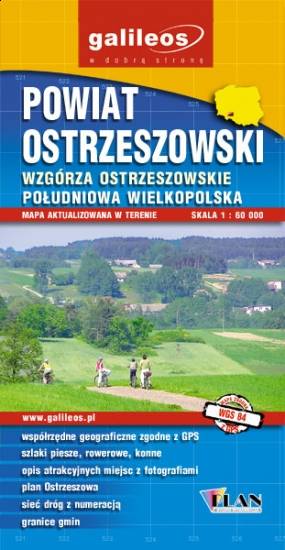
Mapa turystyczna Powiatu Ostrzeszowskiego, zawiera sieć dróg z numeracją, granice gmin.Na mapie zaznaczono informacje przydatne turyście, jak zabytki, noclegi, granice obszarów chronionych. W miejscowościach opisano nazwy ulic. Podano przebiegi szlaków pieszych i rowerowych. Ukształtowanie terenu pokazano przy pomocy warstwic o cięciu co 10 m.
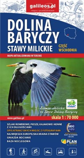
Mapa wschodniej części Doliny Baryczy obejmuje obszar od Radziądza do Antonina. Jest to obszar ograniczony współrzędnymi 16°58’ - 17°55’ długości geograficznej wschodniej oraz 51°15’-51°40’ szerokości geograficznej północnej. Mapa została zaktualizowana w terenie. Na mapie zostały zaznaczone wszystkie szlaki piesze, rowerowe, konne i kajakowe oraz ścieżki przyrodnicze i edukacyjne z podaniem ich długości. Mapa zawiera atrakcje przyrodnicze i bazę noclegową oraz jako ciekawostkę gniazda bocianie.

Mapa Opola i okolic obejmuje obszar województwa w skali 1:190 000. Mapa zawiera aktualny przebieg dróg wraz z numeracją, odległości drogowe, granice powiatów i gmin ponadto stacje paliw, hotele, parkingi, zabytki, zaznaczono wszystkie miejscowości. Mapa oprócz województwa obejmuje też pogranicze i obszar Wrocławia. Na obu mapach wkreślono współrzędne geograficzne zgodne z GPS. Opracowanie obejmuje także plan Opola w skali 1:20 000, widoczny po odpowiednim zbliżeniu.