


Charakterystyka trasy

Komentarze
NA TYCH TRASACH PRZYDA CI SIĘ MAPOPRZEWODNIK LUB MAPA Z NASZEJ APLIKACJI
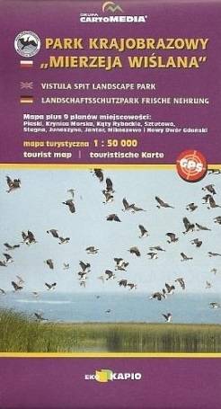
Mapa turystyczna "Park Krajobrazowy Mierzeja Wiślana" została opracowana we współpracy z pracownikami tegoż Parku, dzięki czemu stanowi dokładne i rzetelne źródło informacji na temat tego obszaru. Mapa Mierzei Wiślanej doskonale nadaje się do uprawiania zarówno turystyki pieszej, jak i rowerowej. Mapa swoim obszarem zamyka się na zachodzie przy Mikoszewie, na wschodzie zaś przy Fromborku.
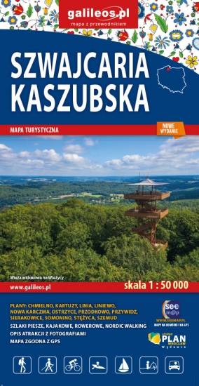
Mapa Szwajcarii Kaszubskiej oraz Kaszubskiego Parku Krajobrazowego. Znajdziemy tu okolic Kartuz, Chmielna i Sierakowic wraz z Wieżycą, Ostrzycami i Szymbarkiem. Mapa przygotowana została w skali 1 : 50 000. Posiada siatkę GPS zgodną z WGS 84. Na mapie znajdują się nazwy głównych ulic w miejscowościach, aktualny przebieg szlaków pieszych i rowerowych z kilometrażem, granice parków krajobrazowych i obszarów chronionego krajobrazu.
Mapa Kociewia i Powiśla w części zachodniej obejmuje obszar zamknięty przez Skarszew na zachodzie, Kwidzyn na południu, Malbork na wschodzie i Tczew na północy. Mapa zawiera szczegółowy obraz terenu, wraz ze szlakami i atrakcjami turystycznymi. Na mapie Powiśla i Kociewia znajdziemy m.in. Szlak Zamków Powiśla, Szlak Grzymisława, EuroVelo 9 i Szlak Kopernikowski.
Kociewie jest to region etnograficzno-kulturowy na Pomorzu Gdańskim, położony na lewym brzegu Wisły w dorzeczu Wdy i Wierzycy, obejmujący wschodnią część Borów Tucholskich. W przybliżeniu Kociewie zajmuje obszar obecnych powiatów starogardzkiego, tczewskiego i północnej części świeckiego, zamieszkany przez ok. 350 tys. mieszkańców. Część mieszkańców regionu posługuje się gwarami kociewskimi.
Mapa Kociewia i Powiśla w części wschodniej obejmuje obszar zamknięty przez Białą Górę na zachodzie, Kwidzyn na południu i Elbląd na północnym wschodzie. Mapa zawiera szczegółowy obraz terenu, wraz ze szlakami i atrakcjami turystycznymi. Na mapie Powiśla i Kociewia znajdziemy m.in. Szlak Żuław Szlak Kopernikowski, Międzynarodowy Szlak Rowerowy R1.
Kociewie jest to region etnograficzno-kulturowy na Pomorzu Gdańskim, położony na lewym brzegu Wisły w dorzeczu Wdy i Wierzycy, obejmujący wschodnią część Borów Tucholskich. W przybliżeniu Kociewie zajmuje obszar obecnych powiatów starogardzkiego, tczewskiego i północnej części świeckiego, zamieszkany przez ok. 350 tys. mieszkańców. Część mieszkańców regionu posługuje się gwarami kociewskimi.

Wieżyca jest najwyższym wzniesieniem na Kaszubach. Mapa przedstawia obszar wokół góry ograniczony miejscowościami: Skaryszów, Kościerzyna, Lipusz, Cewice aż do lotniska w Gdańsku. Na mapie zaznaczono aktualny przebieg tras turystycznych pieszych z długościami oraz tras rowerowych i ścieżek przyrodniczych szlaków kajakowych. Są tu też wszystkie inne obiekty potrzebne turyście do planowania wycieczki. Głębokości głównych jezior Kaszubskich pokazano przy pomocy izobat. Siatka geograficzna zgodna z GPS oparta na układzie WGS-84.
Produkty - pliki do pobrania zawierają tylko kartografię, bez strony opisowej.
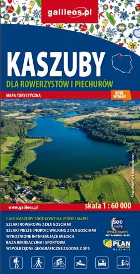
Mapa Kaszub dla rowerzystów i piechurów część północna. Zasięg mapy ograniczony jest miejscowościami: Lipusz i Sulęczyno na zachodzie, Lębork i Nowy Dwór Wejherowski na północy, Żukowo i Przywidz na wschodzie oraz Gołuń i Wdzydze Kiszewskie na południu. Na mapie uwgzlędniono trasy rowerowe, szlaki piesze i Nordic Walking z długościami. Dodatkowo zaznaczone zostały drogi polne, leśne oraz szlaki kajakowe. Są tu też zabytki, noclegi, muzea, punkty widokowe, szczególnie warte odwiedzenia miejsca zaznaczono żółtą ramką.