


Charakterystyka trasy

Komentarze
NA TYCH TRASACH PRZYDA CI SIĘ MAPOPRZEWODNIK LUB MAPA Z NASZEJ APLIKACJI
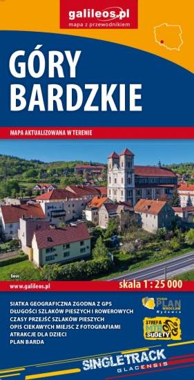
The Bardzkie Mountains are a mountain range in the Central Sudetes in the Lower Silesian Voivodeship, southern Poland. Ząbkowice Śląskie, Srebrna Góra, Bardo and Kłodzko are the biggest towns covered by the map. Tourist attractions, cycling and walking trails are marked on the map, as well as monuments, protected areas borders, accomodation facilities.

Mapa Gór Sowich Wydawnictwa Galileos z aktualnym przebiegiem szlaków turystycznych, zarówno pieszych jak i rowerowych. Wraz z czasem przejść. Zasięg mapy na północy wyznacza Świdnica, na wschodzie Bielawa, na południu Srebrna Góra i Nowa Ruda, na zachodzie Jedlina Zdrój. Rok wydania 2020
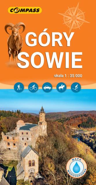
The Owl Mountains (Polish: Góy Sowie, Czech: Soví hory) are a mountain range in the Central Sudetes in south-western Poland. They run between the historic Lower Silesian region and Kłodzko Land. The highest peaks are Wielka Sowa (1,014 m) and Kalenica (964 m) with its viewing tower. The range includes a protected area called The Owl Mountains Landscape Park. The mountains are covered by a network of tourist trails, marked on the map.
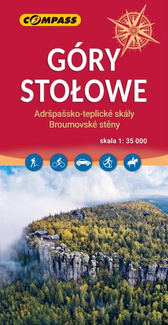
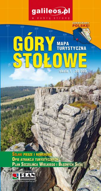
Stołowe Mountains are a mountain range situated south-east of the Krkonoše Mountains. The Polish part, with the highest peak Szczeliniec Wielki (919 m), is protected as the Stołowe Mountains National Park. Map range: Hronov to the west (Czech Republic) Duszniki-Zdrój to the south, Szalejów Górny to the east and Police to the north (Poland).
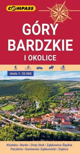
Mapa przedstawia najdalej na wschód wysunięte pasmo górskie w Sudetach Środkowych, a także dodatkowo część Gór Sowich i Gór Złotych. Zasięg mapy wyznaczają: Ząbkowice Śląskie na północy, Ołdrzychowice Kłodzkie i Złoty Stok na południu, Wolibórz na zachodzie i Paczków na wschodzie. Na mapie znalazły się także plany miast: Kłodzko centrum, Bardo, Złoty Stok, Ząbkowice Śląskie, Paczków, Kamieniec Ząbkowicki, Ziębice. Na mapie zastosowano cieniowanie w celu uzyskania wrażenia plastyczności rzeźby terenu. Mapę offline można zakupić w aplikacji Traseo na urządzenia mobilne. Rok wydania 2021