

Charakterystyka trasy
2022-09-06
Katowice

Długość trasy:
28 kmSuma przewyższeń:
120 mSuma spadków:
88 mOcena trasy:
4.2/6Komentarze
NA TYCH TRASACH PRZYDA CI SIĘ MAPOPRZEWODNIK LUB MAPA Z NASZEJ APLIKACJI
MAPA TURYSTYCZNA W APLIKACJI TRASEO
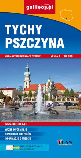
Tychy, Pszczyna i okolice
Mapa Pszczyny, Tych i okolic ograniczony jest przez Oświęcim na wschodzie i Żory na zachodzie, południowa część mapy to Jezioro Goczałkowickie. Na mapie zaznaczono informacje przydatne turyście i podano przebiegi szlaków pieszych i rowerowych. Wyróżniono miejscowości godne zwiedzania i miejsca szczególnie interesujące aktywnych.
MAPA TURYSTYCZNA W APLIKACJI TRASEO
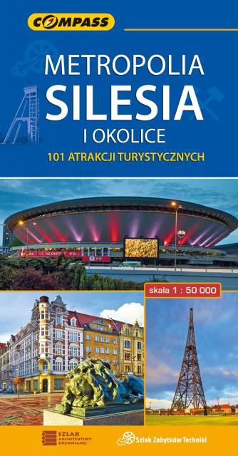
Metropolia Silesia i okolice
Mapa turystyczna w skali 1:50000, która pokazuje mniej znane oblicze Górnego Śląska - regionu o niezwykłej historii, pełnego zabytków, atrakcji, a także... wielu terenów zielonych. Wydanie zawiera wszystkie obecne na opisywanym terenie zabytki architektury, techniki i przyrody; aktualną infrastrukturę komunikacyjną i turystyczną; szlaki: piesze PTTK, rowerowe, dydaktyczne i spacerowe; oraz wiele innych ciekawych informacji, np. przebieg granic państwowych z 1914 i 1939 roku. Zasięg mapy wyznaczają: Tarnowskie Góry na północy, Tychy na południu, Gliwice na zachodzie i Jaworzno na wschodzie.