
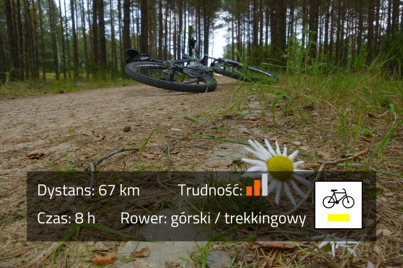
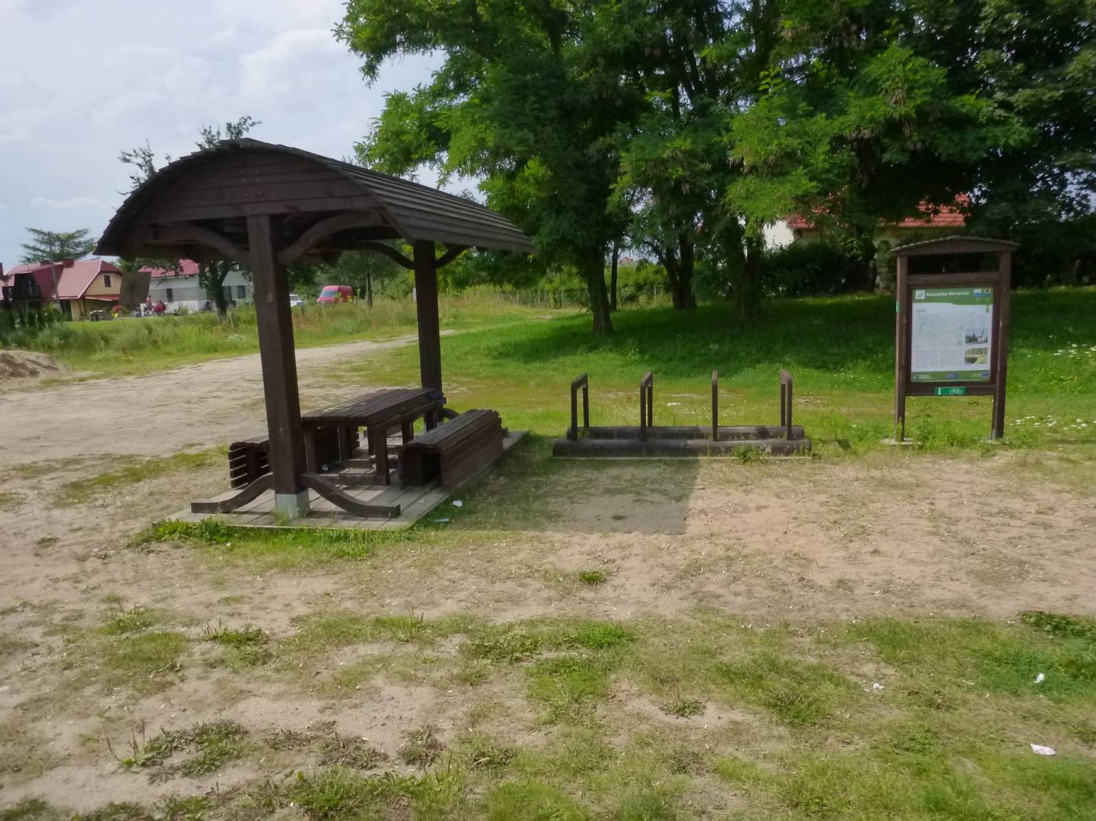
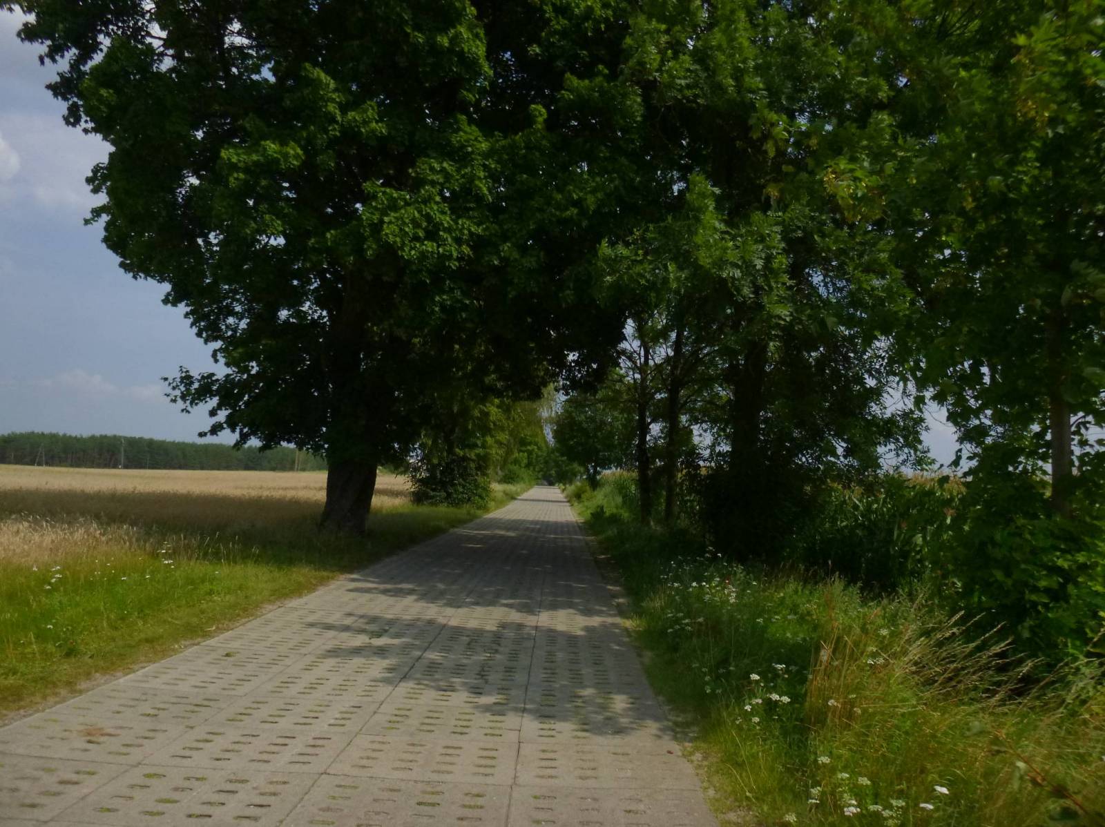

Charakterystyka trasy

Komentarze
NA TYCH TRASACH PRZYDA CI SIĘ MAPOPRZEWODNIK LUB MAPA Z NASZEJ APLIKACJI
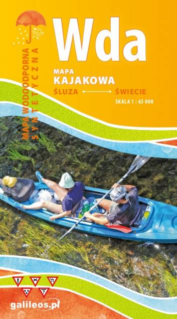
Mapa przedstawia szlak kajakowy rzeką Wdą od miejscowości Śluza do Klanin. Na mapie zaznaczono kilometraż rzeki oraz obiekty istotne dla kajakarza takie jak miejsca niebezpieczne, przeszkody na trasie spływu, pola biwakowe. Mapa jest zorientowana zgodnie z kierunkiem płynięcia.

Mapa Brda przedstawia szlak kajakowy rzeką Brdą, od Nowej Brdy do Tucholskiego PK. Na mapie zaznaczono kilometraż rzeki oraz obiekty istotne dla kajakarza takie jak miejsca niebezpieczne, przeszkody na trasie spływu, pola biwakowe.
Mapa jest zorientowana zgodnie z kierunkiem płynięcia.
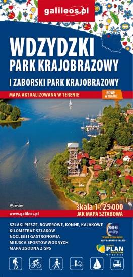
Mapa Parków Krajobrazowych Wdzydzkiego i Zaborskiego. Na mapie zaznaczono przebieg szlaków pieszych, rowerowych, konnych i kajakowych. Przy szlakach uwzględniono kilometraż. Na mapie znajdziemy położenie punktów noclegowych i gastronomicznych. Rok wydania: 2020
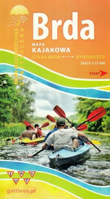
Mapa Brda przedstawia szlak kajakowy rzeką Brdą, od Tucholi do Bydgoszczy. Na mapie zaznaczono kilometraż rzeki oraz obiekty istotne dla kajakarza takie jak miejsca niebezpieczne, przeszkody na trasie spływu, pola biwakowe.
Mapa jest zorientowana zgodnie z kierunkiem płynięcia.
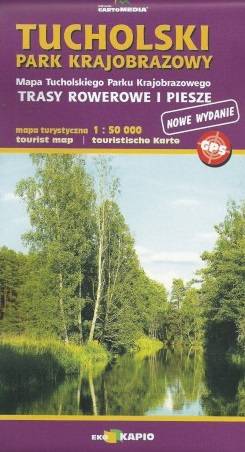
Mapa "Tucholski Park Krajobrazowy" obejmuje swym zasięgiem olbrzymi kompleks leśny pomiędzy Czerskiem, Tucholą a autostradą A1. Doskonale nadaje się na piesze i rowerowe wędrówki po tych interesujących terenach. Możemy tu odkryć m.in. akwedukt w Fojutowie, dawny gród w Raciążu, czy odbyć arcyciekawą wędrówkę wzdłuż przepięknej Brdy.
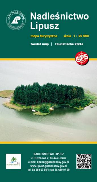
Publikacja z serii map "leśnych" Wydawnictwa Eko-Kapio. Nadleśnictwo zadbało o to, żeby przy tym stopniu szczegółowości (skala 1:50 000) umieścić na mapie wszelkie możliwe trasy turystyczne (szlaki piesze, rowerowe, Nordic Walking, kajakowe), które stanowią świetną inspirację do wyruszenia na wędrówkę. Ponadto zaznaczono liczne ciekawostki turystyczno-krajoznawcze, np. widoczne nasypy po budowanej i nieukończonej autostradzie "Berlince" oraz granica polsko-niemiecka z 1939 r.
Wydanie 1, 2017