


Charakterystyka trasy
2021-08-22
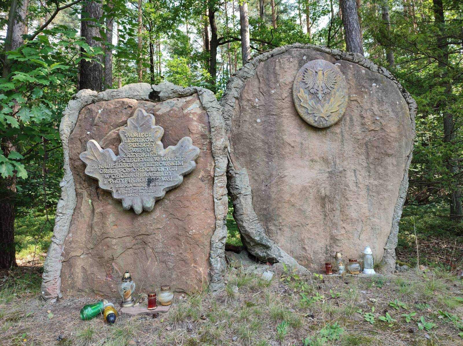
Polska, świętokrzyskie, Suchedniów

Długość trasy:
17 kmSuma przewyższeń:
308 mSuma spadków:
336 mŚredni czas potrzebny na pokonanie trasy:
4 h 21 minOcena trasy:
4.3/6Komentarze
NA TYCH TRASACH PRZYDA CI SIĘ MAPOPRZEWODNIK LUB MAPA Z NASZEJ APLIKACJI

MAPA TURYSTYCZNA W APLIKACJI TRASEO
Góry Świętokrzyskie
Mapa turystyczna "Góry Świętokrzyskie" przedstawia całość masywu, położonego w centralnej części Wyżyny Kieleckiej. Niezbyt wymagający teren sprawia, że jego ścieżki przemierzać mogą także mniej doświadczeni turyści. Obszar przedstawiony na mapie zamyka się w granicach: Końskie na północy, Raków na południu, Ostrowiec Świętokrzyski na wschodzie, Dobrzeszów na zachodzie. Rok wydania 2023