category-icon

Kalwaria wzdłuż Wisły

74 km
571 m
531 m
Polska, małopolskie, Andrychów, powiat wadowicki, Beskid Mały
no photo

Route characteristics

2019-02-20
Polska, małopolskie, Andrychów, powiat wadowicki, Beskid Mały
category-icon
74 km
571 m
531 m
1.0/6

Comments

NA TYCH TRASACH PRZYDA CI SIĘ MAPOPRZEWODNIK LUB MAPA Z NASZEJ APLIKACJI

Near Krakow
Near Krakow
Local Tourism Organization of the Kraków County “Near Krakow”
The offline map “Pod Krakowem” (“Near Krakow”) is a practical guide for tourists and active travelers who want to explore the most interesting corners around Krakow. It covers diverse regions, such as the Prądnik Valley, the surroundings of Ojcowski National Park, Podgórze Wielickie, areas along the Vistula River, and the Krzeszowice region, offering a rich network of hiking and cycling routes. The map also highlights numerous recommended places – from tourist attractions and historical sites to wine tourism spots and family-friendly destinations. It is a convenient tool for planning trips and discovering the charms of the region without the need for internet access.
RowerowePiesze

35
142
Mapoprzewodnik
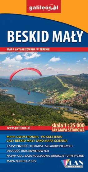
Beskid Mały
TOURIST MAP IN THE TRASEO APP
Beskid Mały

Szczegółowa mapa turystyczna z uwzględnieniem atrakcji, zabytków, ciekawych miejsc. Zawiera nazwy ulic w miejscowościach oraz kilometraż szlaków. Ciekawe miejsca wyróżniono żółtym kolorem.

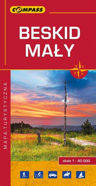
Small Beskids
TOURIST MAP IN THE TRASEO APP
Small Beskids

The map depicts part of the Polish Carpathian Mountains, near Wadowice, where John Paul II was born. The highest peak here is Czupel (930 m). The map range: Bielsko-Biała to the west, Sucha Beskidzka to the east, Wadowice to the north and Żywiec to the south.

Last update: 2017

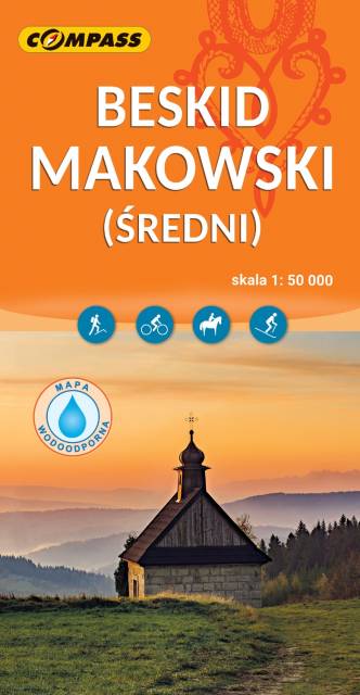
Maków Beskids
TOURIST MAP IN THE TRASEO APP
Maków Beskids

The map in detailed scale presents part of the Polish Carpathian Mountains, south from Krakow: the pass of Beskid Makowski (Maków Beskid), part of Beskid Mały (Little Beskid), Beskid Żywiecki (Żywiec Beskid) and Beskid Wyspowy (Island Beskid).

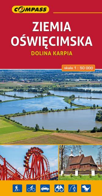
Oświęcim Land. Carp Valley
TOURIST MAP IN THE TRASEO APP
Oświęcim Land. Carp Valley

The map presents the region in western Lesser Poland and eastern Upper Silesia. The map range: Pszczyna to the west, Alwernia and Wadowice to the east, Chrzanów to the north and Bielsko-Biała to the south.

Published: 2017

Krakow region
TOURIST MAP IN THE TRASEO APP
Krakow region

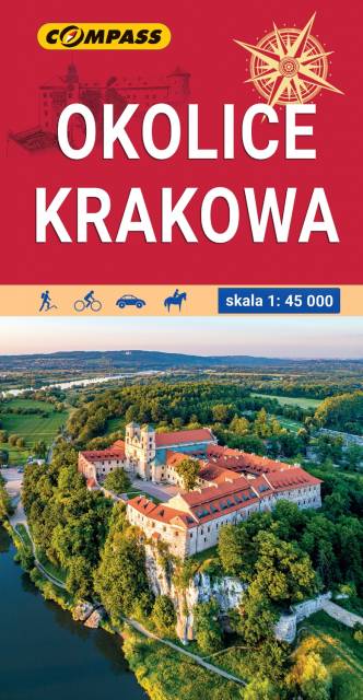
The map in detailed scale depicts the most interesting recreational terrains near Krakow, including Krakow Valleys Landscape Park, Ojców National Park, Niepołomice Forest, Wieliczka Foothills, Wadowice, Myślenice. Map range: Myślenice to the south, Sułoszowa to the north, Wadowice to the west, Bochnia to the east.

Towns on the route