

Ssn24Ssn24
Charakterystyka trasy
2012-04-30
Rumunia, maramureş, Borșa

Długość trasy:
18 kmSuma przewyższeń:
1132 mSuma spadków:
1144 mŚredni czas potrzebny na pokonanie trasy:
7 h 21 minOcena trasy:
3.0/6Komentarze
NA TYCH TRASACH PRZYDA CI SIĘ MAPOPRZEWODNIK LUB MAPA Z NASZEJ APLIKACJI
MAPA TURYSTYCZNA W APLIKACJI TRASEO
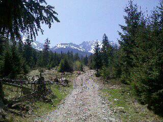
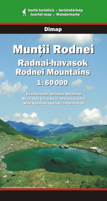
Góry Rodniańskie
Mapa turystyczna Gór Rodniańskich obejmuje najwyższe pasmo Karpat Wschodnich, z jego najwyższym szczytem Pietrosul. Na mapie zaznaczono m.in. sieć dróg, szlaki turystyczne, wyciągi narciarskie, parki narodowe, obiekty noclegowe oraz zabytki.
Uwaga! Mapa obarczona niewielkim błędem kalibracji - ok. 200 m przesunięcia w stosunku do podkładu google maps.
Uwaga! Mapa obarczona niewielkim błędem kalibracji - ok. 200 m przesunięcia w stosunku do podkładu google maps.