


Charakterystyka trasy

Komentarze
NA TYCH TRASACH PRZYDA CI SIĘ MAPOPRZEWODNIK LUB MAPA Z NASZEJ APLIKACJI
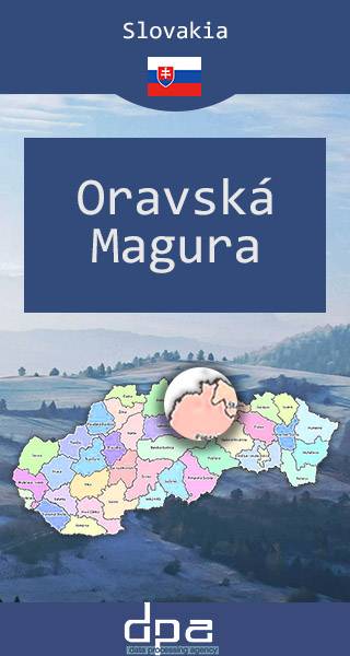
The map presents part of northern Slovakia, near the Polish border, in Žilina Region. It depicts towns of Námestovo and Tvrdošín, and the area of Orava reservoir. It range: Polish border to the north and east, Podbiel village to the south and Oravská Lesná to the west.
Published: 2016/2017
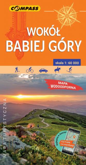
Mapa prezentuje okolice Babiej Góry, zarówno po stronie polskiej, jak i słowackiej. Zasięg mapy wyznaczają: Sucha Beskidzka i Zembrzyce na północy, Tvrdosin (Twardoszyn) na południu, Jeleśnia na zachodzie, Jordanów i Czarny Dunajec na wschodzie. Babia Góra (1 725 m n.p.m.) od wieków przyciągała uwagę podróżników i badaczy, fascynowała pisarzy i poetów. Mówiło się, że na jej szczycie, nie bez powodu zwanym Diablakiem, miały swoją siedzibę złe moce. Prawdziwą osobliwością i niezwykłym przeżyciem dla turystów jest rozległa panorama z niepowtarzalnym widokiem na Tatry oraz wschód słońca podziwiany ze szczytu. U północnych podnóży Babiej Góry rozciąga się największa pod względem powierzchni wieś w Polsce – Zawoja. Jest to atrakcyjna miejscowość wypoczynkowa oraz idealna baza wypadowa w Pasmo Babiogórskie. Okolice Babiej Góry, zarówno po stronie polskiej jak i słowackiej, to atrakcyjne tereny na piesze i rowerowe wycieczki.
Na mapie zastosowano cieniowanie w celu uzyskania wrażenia plastyczności rzeźby terenu. Całość uzupełniają fotografie.Mapę offline można zakupić w aplikacji Traseo na urządzenia mobilne. Rok wydania 2022
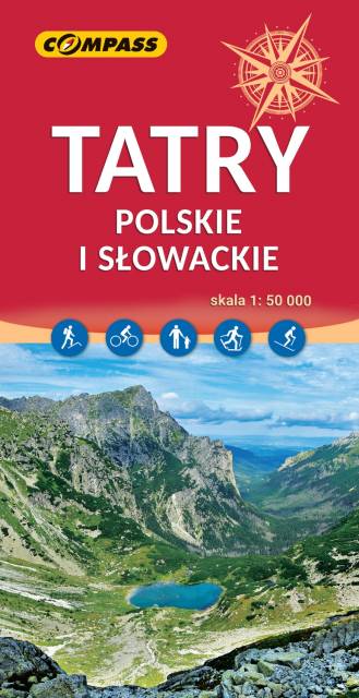
The highest mountains in Poland and Slovakia are the only part of the Carpathians that present extremely Alpine characteristics. It is one of the most important tourist regions in Poland and Slovakia, which is the destination of thousands of tourists each year. The Tatra National Park is a protected area entered in UNESCO's World Network of Biosphere Reserves. The maps depicts three internal mountain chains: High Tatras, Western Tatras and Belianske Tatras. All the hiking routes, tourist attractions and ski resorts are marked on the map.
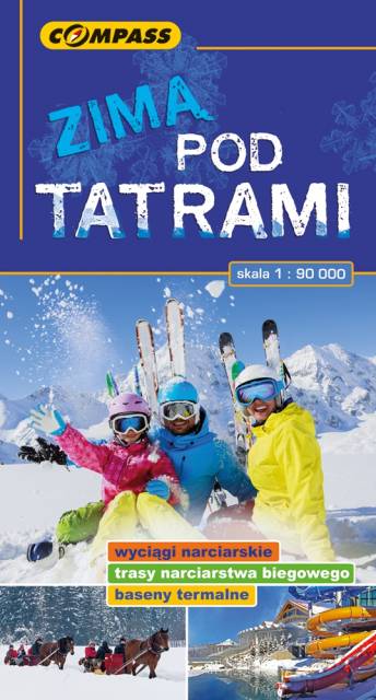
The map covers the region of the Polish and Slovak Tatra Mountains, presenting detailed information about ski resorts, back-country ski trails, ice-skaing and sleighing centers, children friendly places and thermal resorts. Hiking routes are also marked on the map.
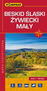
The map depicts part of the Polish Carpathian Mountains in Silesia region: Beskid Śląski (Silesian Beskids), Beskid Żywiecki (Żywiec Beskids) and Beskid Mały (Small Beskids). The Polish part of the range includes protected areas, such as Silesian Beskids Landscape Park. Hiking tracks and tourist attractions are marked on the map.
Update: 2014