


Tomasz Szumachertomasz.szumacher
Charakterystyka trasy
2013-04-14
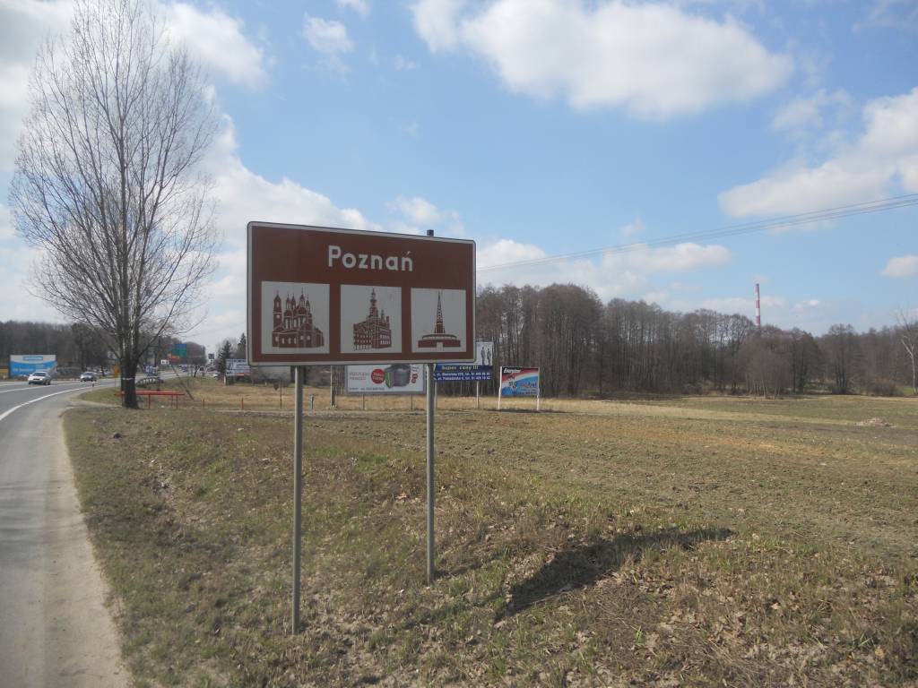
Polska, wielkopolskie, Kalina

Długość trasy:
65 kmSuma przewyższeń:
11 mSuma spadków:
54 mOcena trasy:
2.1/6Komentarze
NA TYCH TRASACH PRZYDA CI SIĘ MAPOPRZEWODNIK LUB MAPA Z NASZEJ APLIKACJI


MAPA TURYSTYCZNA W APLIKACJI TRASEO
Pojezierze Powidzkie
Mapa "Pojezierze Powidzkie" obejmuje powiat słupecki i okolice, wraz z Powidzkim i Nadwarciańskim Parkiem Krajobrazowym oraz przepięknym opactwem cysterskim w Lądzie. Zaznaczono na niej informacje przydatne turyście, oraz podano przebiegi szlaków pieszych i rowerowych.


MAPA TURYSTYCZNA W APLIKACJI TRASEO
Szlak Piastowski
Mapa turystyczna Szlaku Piastowskiego, który przebiega przez województwa: wielkopolskie i kujawsko-pomorskie. Mapa została zaktualizowana w terenie, zostały na niej uwzględnione wszelkie niezbędne informacje turystyczno-krajoznawcze oraz informacje praktyczne. Rok Wydania 2017