


Charakterystyka trasy

Komentarze
NA TYCH TRASACH PRZYDA CI SIĘ MAPOPRZEWODNIK LUB MAPA Z NASZEJ APLIKACJI
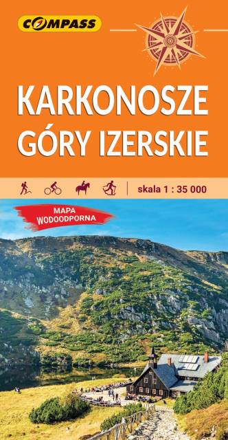
Mapa w świetnej skali 1:35 000. Na mapie znajdują się Karkonosze, Góry Izerskie, plany (centra miast) Świeradowa-Zdroju, Karpacza, Szklarskiej Poręby oraz czeskich miejscowości: Harrachova i Szpindlerowego Młynu.
Karkonosze to najwyższe pasmo górskie Sudetów rozciągające się na długości około 40 km. Głównym grzbietem przebiega granica polsko-czeska. Najwyższym szczytem jest Śnieżka (1603 m n.p.m.). Wyróżniającym się elementem krajobrazu Karkonoszy są kotły polodowcowe z malowniczymi jeziorkami oraz unikatowe formacje skalne. Tutaj swoje źródła ma największa czeska rzeka - Łaba. Symboliczną studnię odnaleźć można pod Łabskim Szczytem, na wysokości 1386 m n.p.m. Krajobraz karkonoski urozmaicają licznie występujące na potokach wodospady i kaskady. Występujące tu wody termalne i mineralne przyczyniły się do rozwoju znanych uzdrowisk - Cieplic i Świeradowa-Zdroju, a w Czechach - Janské Lázně.
Góry Izerskie to najbardziej na zachód wysunięte pasmo Sudetów położone na terenie Czech i Polski. Składa się z niezbyt wysokich grzbietów górskich. Najwyższym wzniesieniem jest Wysoka Kopa (1126 m n.p.m.). Takie ukształtowanie powierzchni w połączeniu z dobrym zagospodarowaniem i dużą atrakcyjnością terenu przyczyniło się do rozwoju turystyki - pieszej, rowerowej i narciarstwa biegowego. Gęsta sieć utwardzonych dróg niczym magnes przyciąga licznie przybywających tu kolarzy górskich. Zimą popularne Izery oferują dobrze przygotowane trasy pod biegówki. Najpopularniejszym miejscem do uprawiania narciarstwa biegowego są Jakuszyce.
Rok wydania: 2022
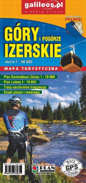
Mapa turystyczna "Góry Izerskie" przedstawia duży obszar polskiej i czeskiej części tych gór. Granicę mapy na zachodzie wyznacza czeski Liberec, na północy Gryfów Śląski, a na wschodzie fragment Parku Krajobrazowego Doliny Bobru. Na mapie znajdują się także Szklarska Poręba, Jakuszyce oraz Harrachov. Rok wydania 2020
Wybrać około 100 atrakcji z tego regionu to niezwykle trudne zadanie. Miejsc szczególnych, wartych odwiedzenia jest tutaj znacznie więcej. Subiektywnego wyboru dokonał – opierając się na doświadczeniu jako pilota wycieczek, przewodnika turystycznego i górskiego – Waldemar Brygier (naszesudety.pl). Wśród polecanych atrakcji: zamki, pałace, muzea, skanseny, kopalnie, twierdze, osobliwości przyrody, uzdrowiska i wiele innych. Zapraszamy do lektury! Mapę offline można zakupić w aplikacji Traseo na urządzenia mobilne. Rok wydania 2019
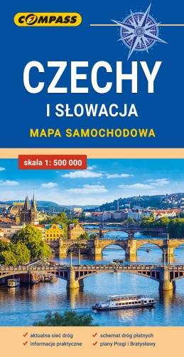
Mapa samochodowa Słowacji i Czech zawiera: aktualną sieć autostrad, dróg ekspresowych i głównych, z podziałem na dwupasmowe i jednopasmowe; drogi w budowie, numerację dróg oraz kilometraż. Na mapie zaznaczono: przejścia graniczne, Autostradowe Miejsca Obsługi Podróżnych, wybrane stacje benzynowe, parkingi i promy wodne, porty lotnicze, obszary leśne, parki narodowe, uzdrowiska, większe ośrodki narciarskie, obiekty na Liście UNESCO. Legenda w językach: polskim, angielskim, czeskim i słowackim.
Mapa dodatkowo zawiera:
- schemat dróg płatnych na Słowacji i w Czechach;
- wykaz węzłów na autostradach i drogach ekspresowych na Słowacji;
- plany Pragi i Bratysławy;
- schemat metra w Pradze;
- informacje praktyczne dla podróżujących samochodem po Słowacji i Czechach (m.in.: wybrane przepisy drogowe, wymagane dokumenty, obowiązkowe wyposażenie samochodu, rodzaje winiet).
Mapę offline można zakupić w aplikacji Traseo na urządzenia mobilne. Rok wydania 2020