category-icon

IV SSSS

316 km
15 h 8 min
787 m
751 m
Polska, opolskie, Sosnowiec
Photo 1
Photo 2

Route characteristics

2013-09-29
Polska, opolskie, Sosnowiec
category-icon
Trip length:
316 km
Total ascent:
787 m
Total descent:
751 m
Average time needed to complete the route:
15 h 8 min
Route rating:
2.1/6

Comments

ON THESE ROUTES YOU WILL NEED A MAP GUIDE OR A MAP FROM OUR APP

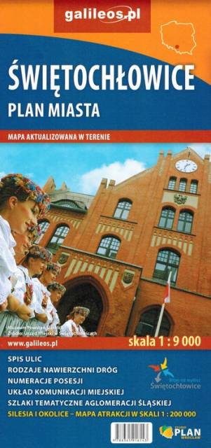
Świętochłowice. Plan miasta
TOURIST MAP IN THE TRASEO APP
Świętochłowice. Plan miasta

Plan Świętochłowic – skala 1: 9 000 ze spisem ulic. Plan aktualizowany w terenie. Na planie zaznaczono między innymi rodzaje nawierzchni dróg, szkoły, numeracje posesji. Plan obejmuje miasto w granicach administracyjnych. 

Wolin Island. Wolin National Park
TOURIST MAP IN THE TRASEO APP
Wolin Island. Wolin National Park

The map presents part of Baltic coast in Western Pomerania, in Poland, including Wolin Island, part of Uznam Island and Gryfice Plain. The map range: Świnoujście to the west, Wolin to the south, Kamień Pomorski to the east. Walking, cycling and canoeing trails are marked on the map, as well as tourist attractions.

Update: 2017

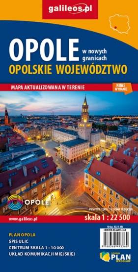
Opole
TOURIST MAP IN THE TRASEO APP
Opole

Plan miasta Opola w nowych granicach administracyjnych. Na planie umieszczono całą infrastrukturę miejską (urzędy, szkoły, teatry, kina) i turystyczną (szlaki, zabytki). Rok wydania: 2020

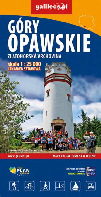
Opawskie Mountains
TOURIST MAP IN THE TRASEO APP
Opawskie Mountains

The Opawskie Mountains are a mountain range in the Eastern Sudetes. They stretch from northern Czech Silesia into Polish Upper Silesia, the eastern continuation of the Golden Mountains range.The Polish part of the range includes a protected area known as the Opawskie Mountains Landscape Park. It is named after the Opava River with its source in the neighbouring Hrubý Jeseník range. On the map in detailed scale tourist attractions, cycling and walkig trails, and educational trails are marked.

Update: 2017


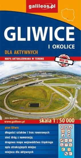
Gliwice Area
TOURIST MAP IN THE TRASEO APP
Gliwice Area
The map covers part of the Silesian Voivodeship in southern Poland: Gliwice city and its surroundings. Lot of information useful for tourists is marked on the map: monuments, accomodation facilities, protected areas, cycling and walking trails. The most interesting places are highlighted with a yellow frame.
Racibórz County
TOURIST MAP IN THE TRASEO APP
Racibórz County

The map presents the Racibórz County in the Upper Silesia region, Poland. It is comprised of five municipalities: Racibórz, Kornowac, Nędza, Kuźnia Raciborska, Rudnik, Pietrowice Wielkie, Krzanowice, Krzyżanowice. The most interesting places are highlighted with a yellow frame. Cycling, walking and didactic trails are marked on the map.