The Iron Bicycle Trail (Żelazny Szlak Rowerowy) is a picturesque cycling route that winds through the borderlands of southern Poland and the Czech Republic. It connects several towns and villages, including Godów and Zebrzydowice in Poland, and Karviná and Petrovice u Karviné in the Czech Republic, running along former railway lines, calm forests and open fields. The route offers a flexible cycling experience, on well-marked and thoughtfully designed route suitable for various skill levels and preferences. Whether you are looking for a family day trip, a leisurely exploration or a lovely cross-border cycling adventure, the route provides an enjoyable journey through the beautiful landscapes of the Polish-Czech border region.
How many kilometers long is the Iron Bicycle Trail?
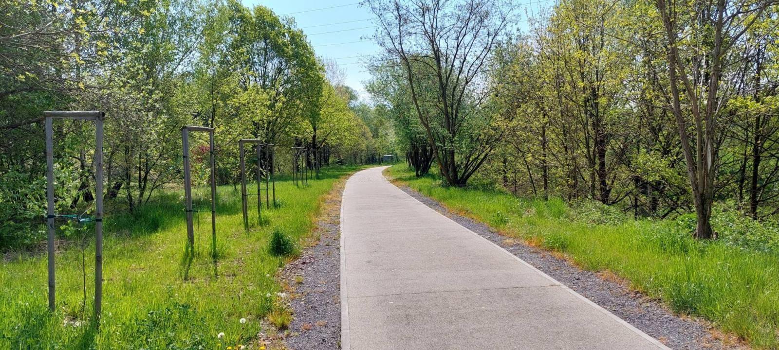
The Iron Bicycle Trail (Żelazny Szlak Rowerowy) is a loop trail located on the Polish-Czech border. The main loop of the trail is approximately 54 kilometers long, but it also consists of several shorter side sections. Thanks to this solution, cyclists can adjust the route to their preferences and fitness level. The trail passes through five municipalities: Godów, Jastrzębie-Zdrój and Zebrzydowice in Poland, and Karviná and Petrovice u Karviné in the Czech Republic. The route runs mainly along former railway lines, offering a safe and comfortable route for cyclists. The trail is well-marked and features a mix of asphalt and gravel paths.
How long does it take to complete the Iron Bicycle Trail?
The Iron Bicycle Trail offers a flexible cycling experience suitable for various skill levels and sightseeing preferences. For cyclists with average experience, completing the route usually takes between 2 to 3 hours. This estimate assumes steady cycling without extended stops. Some cyclists choose extended routes that include additional segments or detours, which can increase the total distance and time required to complete the route. For families with children or those who prefer a slower pace, the journey may extend to approximately 5 to 6 hours. This allows for numerous sightseeing breaks and enjoying the surrounding nature.
Is the Iron Bicycle Trail difficult?
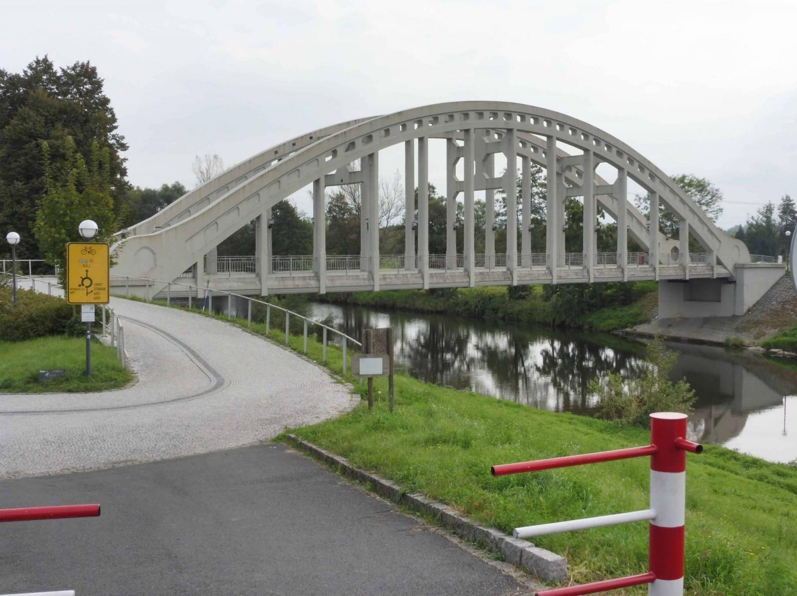
The Iron Bicycle Trail is generally considered an easy and accessible route suitable for cyclists of all skill levels. The trail, which follows former railway lines, offers a smooth and well-maintained path, mostly with asphalt and resin-bound surfaces, ensuring a comfortable ride. There are a few gravel sections, such as a short 200-meter segment in Godów. Although the route is not entirely flat, the elevation changes are gentle. The trail has been designed with safety in mind, featuring clear signage and barriers where necessary. However, cyclists should exercise caution at intersections with public roads, especially in urban areas like Karviná. The gentle terrain and picturesque surroundings make it suitable for families with children as well as more amateur cyclists looking for an easy and enjoyable cycling experience.
How to prepare for a longer bike trip?
Preparing for a longer bike trip requires careful planning and attention to detail to ensure a safe and enjoyable experience. Aim for 3–4 rides per week, gradually increasing the distance and load to build endurance in physical preparation for future long rides. Remember that regular stretching can improve flexibility and prevent injuries. Plan your route considering distance, elevation, and terrain. Identify potential rest stops and accommodations before you hit the road. Break your journey into smaller segments and set achievable daily goals. Before trip inspect your bike thoroughly, checking tire pressure, brake functionality, chain condition and ensure all components are secure. Pack lightweight, multi-functional items, prioritize quick-drying clothing and a repair kit. Check the weather forecasts and pack accordingly. And always be prepared to adjust your plans depending on weather, terrain, and personal energy levels.
Attractions along the route
Whether you are a history enthusiast, nature lover or simply looking for a leisurely ride, the Iron Bicycle Trail offers a wide range of attractions, such as:
Zebrzydowice
Home to the Baroque-style Pałac Zebrzydowskich, offering a glimpse into the region's aristocratic past, and Staw Młyńczok, a water sports center offering opportunities for relaxation and water recreation.
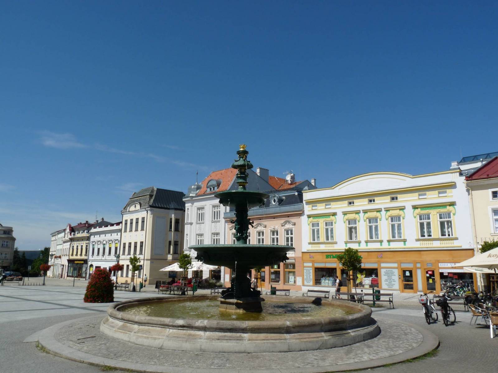
Karviná
City rich in history, Karviná's historic center, Frysztat, features a Renaissance town hall and colorful townhouses. Nearby, the Larisch-Mönnich Palace houses a museum detailing the region's mining heritage.
Petrovice u Karviné
Village just across the border, home to the Piotrowice Castle, an English-style park and the Church of St. Martin. The area offers a quiet and rural setting.
Skrbeňsko
Small village known for its natural beauty, providing a peaceful environment for cyclists.
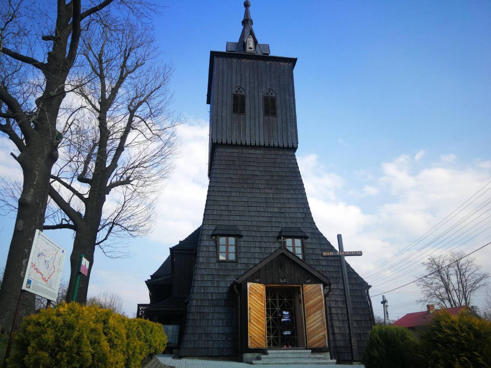
Gołkowice
Picturesque village with a wooden Church of St. Anne, an exemplary piece of wooden architecture in the Silesian region.
Godów
The trail loops back here, giving a sense of completion and a chance to reflect on the journey.