
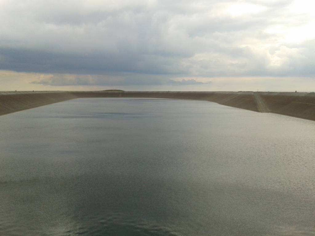

Charakterystyka trasy

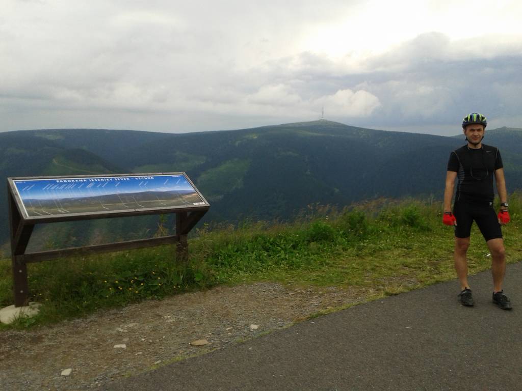
Komentarze
NA TYCH TRASACH PRZYDA CI SIĘ MAPOPRZEWODNIK LUB MAPA Z NASZEJ APLIKACJI
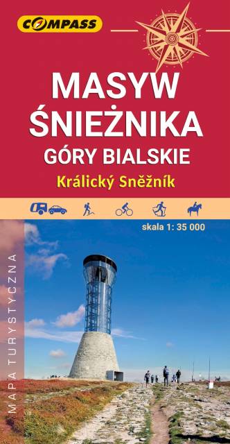
Mapa Masywu Śnieżnika przedstawia jedno z wyższych w Sudetach pasm górskich, które zamyka od południa Kotlinę Kłodzką. Zaliczamy je do Sudetów Wschodnich. Zasięg mapy wyznaczają: Bystrzyca Kłodzka na północnym-zachodzie, Międzylesie na południowym-zachodzie oraz Jindrichov na południowym-wschodzie. Obszar mapy obejmuje: Masyw Śnieżnika z najwyższym szczytem Śnieżnikiem (1426 m n.p.m.), Góry Bialskie, Kralicky Sneznik, częściowo także Rychlebske hory i Góry Złote oraz miasto Stronie Śląskie.
Duże zróżnicowanie krajobrazowe, doskonałe zagospodarowanie turystyczne podszczytowego rejonu Śnieżnika z jednej strony i „dzikość” Gór Bialskich z drugiej – to najlepsze atuty tego obszaru. Pobyt w tym regionie z pewnością miło wspominać będą nie tylko turyści piesi, ale także miłośnicy narciarstwa, jazdy rowerowej i konnej, wspinacze skałkowi oraz wędkarze. Rok wydania 2023
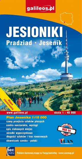
Mapa "Jesioniki" obejmuje Wysoki Jesionik z Pasmem Orlika oraz fragmentem Gór Rychlebskich i Zlatohorskiej Vrchoviny. Na mapie zaznaczono informacje przydatne turyście, podano aktualne przebiegi szlaków pieszych, rowerowych i narciarskich łącznie z kilometrażem.
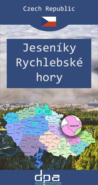
Mapa przedstawia dwa niewielkie pod względem wysokości pasma górskie Sudetów rozciągające się na granicy Polski i Czech, na pograniczu Moraw i Śląska. W Jesionikach najbardziej rozpoznawalnym szczytem jest Pradziad (1491 m n.p.m.) znajdujący się w paśmie górskim Wysokiego Jesionika, stanowiący jednocześnie najwyższy szczyt Śląska Czeskiego, Górnego Śląska i Moraw i całych Sudetów Wschodnich. Na jego szczycie ustawiona jest charakterystyczna wieża telewizyjna przypominająca kształtem rakietę kosmiczną. Wierzchołek jest dobrze widoczny z wielu punktów widokowych oraz wyższych miejsc w promieniu nawet kilkuset kilometrów, nie tylko Czech, ale również południowo zachodnich województw: opolskiego czy dolnośląskiego. Góry Złote to jedno z najdłuższym pasm Sudetów, rozciągające się z Przełęczy Kłodzkiej na północnym zachodzie, aż do Przełęczy Ramzovskiej. Tereny Gór Złotych są słabo zaludnione i bardzo atrakcyjne dla turystyki pieszej oraz narciarskiej. Najsłynniejszą atrakcją regionu jest dawna podziemna kopalnia złota i arsenu w Złotym Stoku.
Mapa turystyczna przedstawia obszar Ziemi Kłodzkiej (polska część Euroregionu Glacensis) z naniesioną siecią nowych szlaków rowerowych Singletrack Glacensis, znajdujących się w Górach Bardzkich, Złotych i Masywie Śnieżnika. Szlaki prowadzą z Przeł. Wilcza przez Bardo, Złoty Stok, Lądek-Zdrój, Stronie Śląskie i Międzygórze do Jodłowa. Na mapie wyróżniono i opisano atrakcje, ciekawe miejscowości, punkty informacji turystycznych, rezerwaty i parki krajobrazowe, serwisy rowerowe, stacje naprawcze i do ładowania e-bike oraz wiaty wypoczynkowe.
Mapa turystyczna przedstawia obszar Ziemi Kłodzkiej (polska część Euroregionu Glacensis) z naniesioną siecią nowych szlaków rowerowych Singletrack Glacensis, znajdujących się w Górach Bardzkich, Złotych i Masywie Śnieżnika. Szlaki prowadzą z Przeł. Wilcza przez Bardo, Złoty Stok, Lądek-Zdrój, Stronie Śląskie i Międzygórze do Jodłowa. Na mapie wyróżniono i opisano atrakcje, ciekawe miejscowości, punkty informacji turystycznych, rezerwaty i parki krajobrazowe, serwisy rowerowe, stacje naprawcze i do ładowania e-bike oraz wiaty wypoczynkowe.
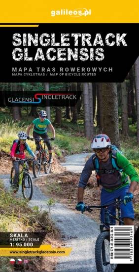
Mapa przedstawia obszar Ziemi Kłodzkiej z naniesionymi pętlami Singletrack'ów. Rowerowe trasy zostały wytyczone przy współpracy ze Stowarzyszeniem Gmin Ziemi Kłodzkiej. Na mapie oznaczono przebieg pętli wraz z ich infrastrukturą (stacje naprawcze, stacje ładowania e-bików, wiaty wypoczynkowe,serwisy rowerowe, punkty dostępowe).