

Charakterystyka trasy

Komentarze
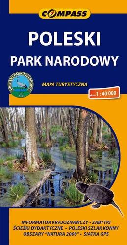
NA TYCH TRASACH PRZYDA CI SIĘ MAPOPRZEWODNIK LUB MAPA Z NASZEJ APLIKACJI
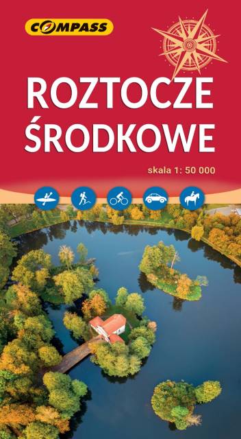
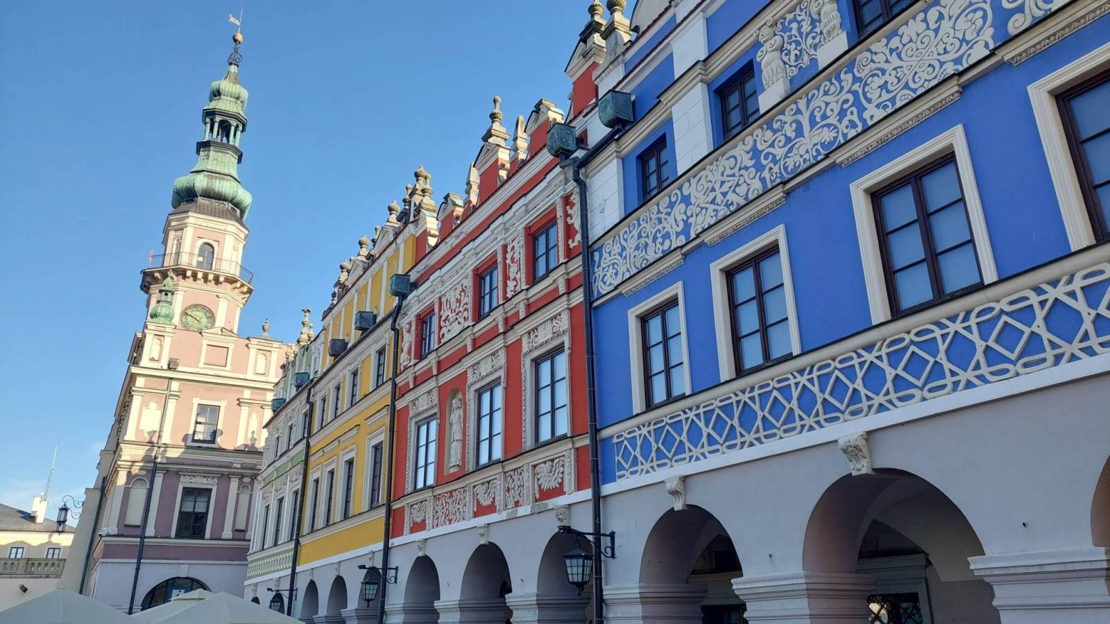
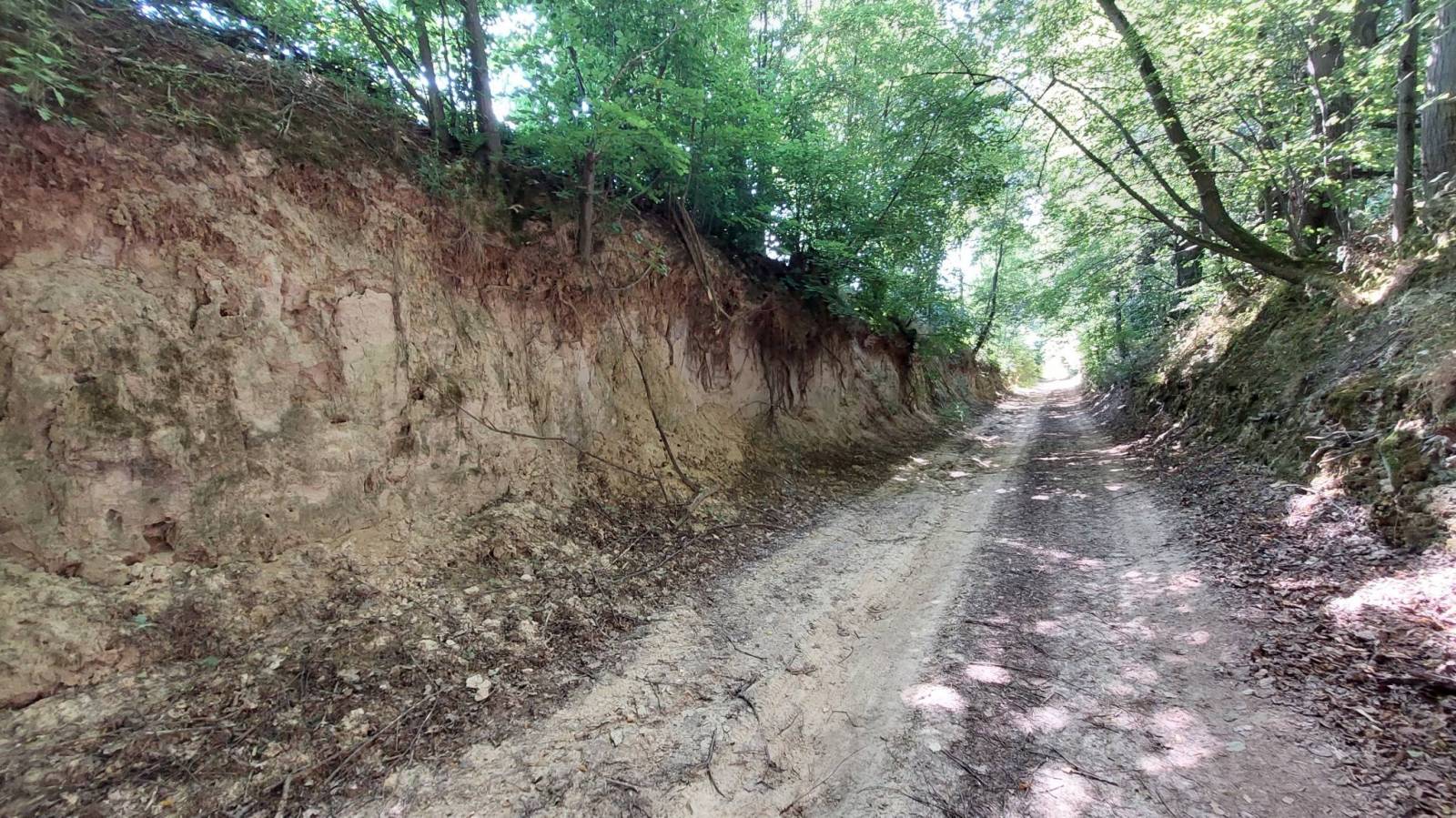
Mapa turystyczna Roztocza prezentuje uroki wschodniego zakątka Polski. Roztocze jest terenem wyżynnym, o silnym zalesieniu, poprzecinanym malowniczymi rzekami. Na obszarze tym położony jest Roztoczański Park Krajobrazowy oraz wiele miast o wysokiej atrakcyjności turystycznej, m.in. Zamość, Józefów, Tomaszów Lubelski. Mapa Roztocza przedstawia szlaki, zabytki, informacje ważne dla turystów. Rok wydania 2023

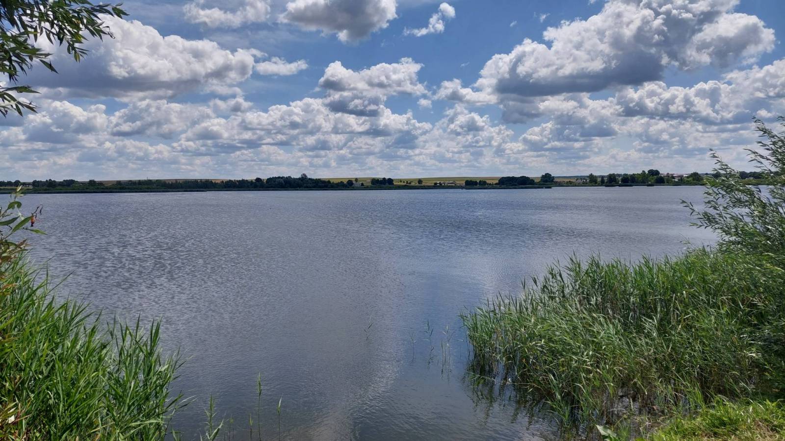
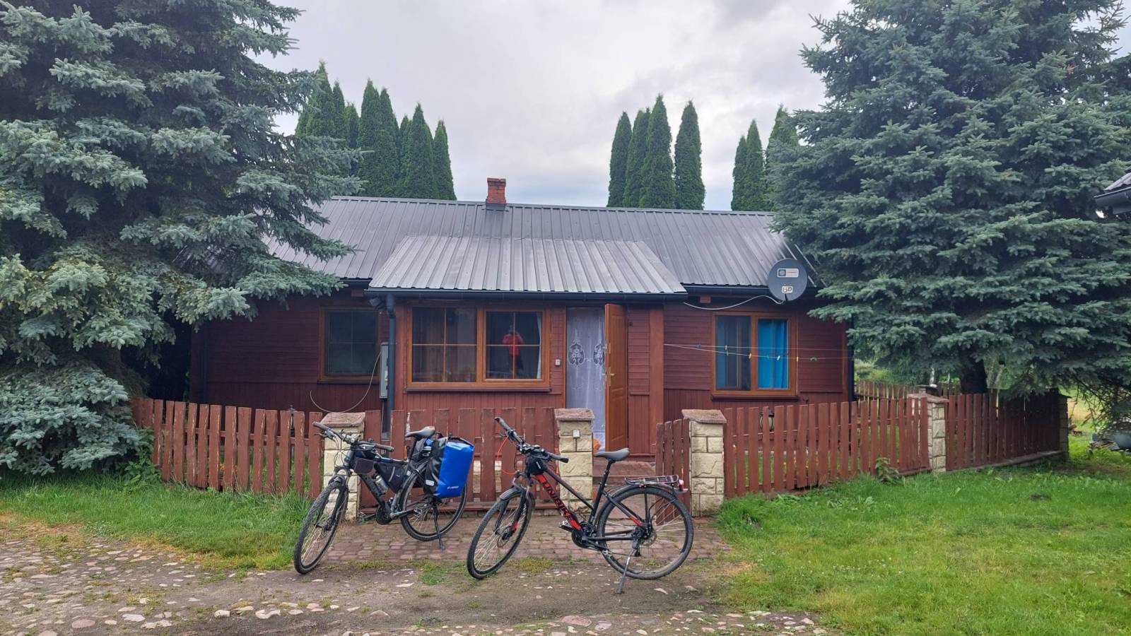
"Rowerem po Roztoczu" to mapa jednego z najbardziej zielonych obszarów Polski - Roztocze, bo o nim mowa, to kraina geograficzna łącząca Wyżynę Lubelską z Podolem. To właśnie tutaj utworzono Roztoczański Park Narodowy, aby chronić cenne dziedzictwo przyrodnicze. Mapa "Rowerem po Roztoczu" powstała przy współpracy gmin z tego obszaru: Zwierzyniec, Krasnobród, Józefów, Susiec, Tomaszów Lubelski, Narol, Horyniec Zdrój, Bełżec, Lubycza Królewska i Cieszanów.
Zapraszamy na rowerową podróż przez ten niezwykły zakątek, do zwiedzania atrakcji i odkrywania tajemnic Roztocza!