


Jacekjaceksmulski
Charakterystyka trasy
2015-05-30

Długość trasy:
38 kmSuma przewyższeń:
1712 mSuma spadków:
2408 mŚredni czas potrzebny na pokonanie trasy:
56 h 39 minOcena trasy:
1.2/6Komentarze
NA TYCH TRASACH PRZYDA CI SIĘ MAPOPRZEWODNIK LUB MAPA Z NASZEJ APLIKACJI
MAPA TURYSTYCZNA W APLIKACJI TRASEO
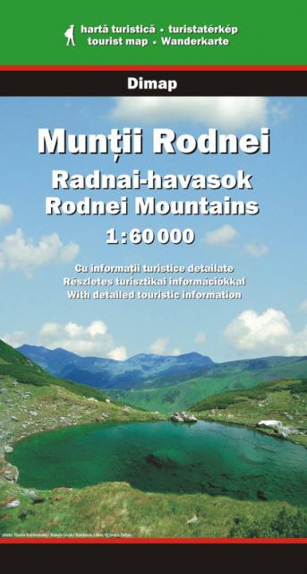
Rodnei Mountains
The Rodnei Mountains in Romania are the highest pass of the Eastern Carpathians. The hiking map covers the region between Viseu and Somesul Mare rivers.
Attention! There is a little calibration mistake on the map - e.g. 200 m relative to google maps.
Attention! There is a little calibration mistake on the map - e.g. 200 m relative to google maps.