


Charakterystyka trasy

Komentarze
NA TYCH TRASACH PRZYDA CI SIĘ MAPOPRZEWODNIK LUB MAPA Z NASZEJ APLIKACJI
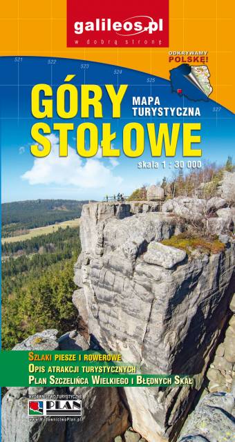
Mapa turystyczna Gór Stołowych w skali 1:30 000, zaktualizowana w terenie. Na mapie oznaczono czasy przejść. Znajdziemy tu szlaki turystyczne, rowerowe i piesze oraz najważniejsze informacje o charakterze turystycznym, a także informacje praktyczne. Rok wydania 2021
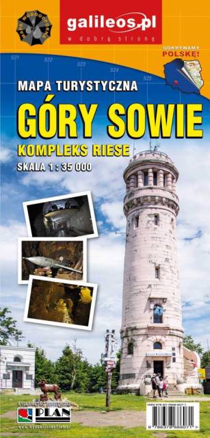
Mapa Gór Sowich Wydawnictwa Galileos z aktualnym przebiegiem szlaków turystycznych, zarówno pieszych jak i rowerowych. Wraz z czasem przejść. Zasięg mapy na północy wyznacza Świdnica, na wschodzie Bielawa, na południu Srebrna Góra i Nowa Ruda, na zachodzie Jedlina Zdrój. Rok wydania 2020

Mapa turystyczna "Góry Sowie" zamknięta jest przez: Wałbrzych na północnym-zachodzie, Broumov na zachodzie, Radków na południu, Srebrna Góra na południowym-wschodzie. Prawdziwą osobliwością tego obszaru są podziemne obiekty militarne. Jest to atrakcyjny teren na piesze i rowerowe wycieczki. Są tu dobre warunki dla miłośników MTB, narciarstwa zjazdowego i biegowego, jazdy konnej. Na mapie oznaczono szlaki turystyczne: piesze i rowerowe. Rok wydania 2024

Mapa przedstawia zbiór 26 górskich tras Strefy MTB Sudety, w tym tras singletrack, enduro i torów pumptrack, wiodących po terenach Gór Sowich, Suchych oraz Kamiennych. Dodatkowo na mapie zaznaczono punkty dostępu do tras Strefy, serwisy i myjnie rowerowe oraz certyfikowane punkty noclegowe i gastronomiczne Strefy MTB.
Mapa tras rowerowych MTB swym zasięgiem obejmuje obszar od Boguszowa-Gorców na północnym zachodzie, po Bardo na południowym wschodzie. Ukształtowanie terenu pokazano przy pomocy warstwic o cięciu co 20 m.
Rok wydania: 2018
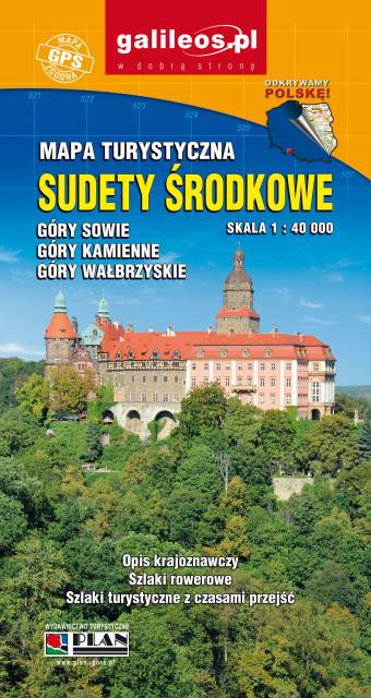
Zaktualizowana w terenie mapa turystyczna Sudetów Środkowych z wyszczególnionymi szlakami pieszymi i rowerowymi. Mapa obejmuje m.in. Góry Sowie, Góry i Pogórze Wałbrzyskie, Góry Kamienne oraz dużą część Broumovskiej Vrchoviny ze skalnymi miastami Aderszpasko Teplickich Skał włącznie. Na mapie uwzględniono atrakcje turystyczne oraz informacje praktyczne. Rok wydania 2020
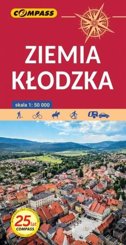
Ziemi Kłodzkiej - historycznej krainy (teren dawnego hrabstwa kłodzkiego) obejmującej Kotlinę Kłodzką i otaczające ją tereny górskie: Góry Stołowe, Góry Sowie, Góry Bardzkie, Góry Złote, Góry Bialskie, Masyw Śnieżnika, Góry Bystrzyckie, Góry Orlickie. Zasięg mapy wyznaczają od wschodu Złoty Stok i Javornik po czeskiej stronie, od zachodu Kudowa-Zdrój, Nachod, Police, Teplice (zatem praktycznie całe Góry Stołowe) po czeskiej stronie. Od północy zasięg wyznaczają: Ząbkowice Śląskie i Srebrna Góra, od południa obrzeża miasta Zamberk po czeskiej stronie. Rok wydania: 2024