


Charakterystyka trasy

Komentarze
NA TYCH TRASACH PRZYDA CI SIĘ MAPOPRZEWODNIK LUB MAPA Z NASZEJ APLIKACJI
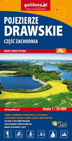
Mapa obejmująca zachodnią część Pojezierza Drawskiego, obszar do Czaplinka na wschodzie (gminy: Barwice, Borne Sulinowo, Czaplinek, Okonek, Szczecinek). Na mapie uwględnione zostały informacje niezbędne turyście. Są tu: zabytki, baza noclegowa, granice parków narodowych i rezerwatów, przystanie żeglarskie, wypożyczalnie sprzętu wodnego, przystanie statków spacerowych, a także szkoły nurkowania. Oznaczono przebieg szlaków turystycznych z podziałem na szlaki: pieszye, rowerowe, nordic walking i konne, łącznie z kilometrażem.
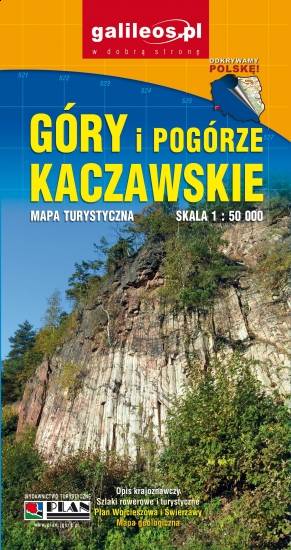
Mapa Gór i Pogórza Kaczawskiego zawiera aktualny przebieg szlaków rowerowych i pieszych z zaznaczonymi najważniejszymi atrakcjami turystycznymi. Swoim zasięgiem obejmuje obszar zamknięty przez Legnicę na północy i Jelenią Górę na południu. Przedstawia także teren Parku Krajobrazowego Doliny Boru oraz Parku Krajobrazowego Chełmy.
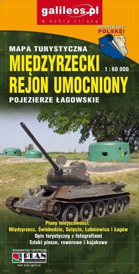
Aktualizowana w terenie mapa Pojezierza Łagowskiego i Międzyrzeckiego Rejonu Umocnionego. Na mapie umieszczono aktualne szlaki piesze i rowerowe oraz rozrysowany schemat odcinka centralnego umocnień Międzyrzeckich.
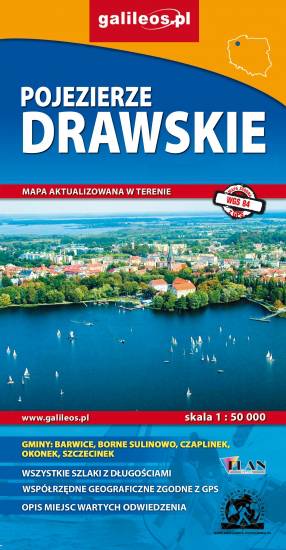
Opracowanie kartograficzne obejmuje obszar Pojezierza Drawskiego. Mapa zamknięta jest na wschodzie przez Jezioro Dołgie, na zachodzie zaś przez Łobez. Zaznaczono tu informacje przydatne turyście, podano aktualne przebiegi szlaków pieszych, rowerowych, Nordic Walking i konnych, łącznie z kilometrażem, co pozwoli łatwiej zaplanować wycieczkę.