

Charakterystyka trasy

Komentarze
NA TYCH TRASACH PRZYDA CI SIĘ MAPOPRZEWODNIK LUB MAPA Z NASZEJ APLIKACJI
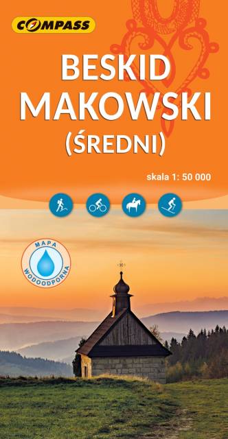
Mapa Beskidu Makowskiego (zwanego także Średnim lub Myślenickim) swoim zasięgiem obejmuje także fragmenty Beskidów: Małego, Żywieckiego i Wyspowego. Najwyższym szczytem jest Mędralowa, pozostałe pasma osiągają wysokość do 700 – 800 m n.p.m. Beskid Makowski jest stosunkowo mało popularny wśród turystów, chociaż jest też dosyć gęsto zaludniony. Na mapie przedstawione zostały szlaki piesze oraz trasy rowerowe, zastosowano także cieniowanie w celu uzyskania wrażenia plastyczności terenu. Mapa offline, którą można zakupić w aplikacji Traseo na urządzenia mobilne, zasięgiem obejmuje tereny od Wadowic na zachodzie po Dobczyce i Rabkę-Zdrój na wschodzie. Rok wydania 2023
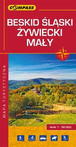
Mapa turystyczna Beskidu Śląskiego, Żywieckiego i Małego - zostały zaznaczone na niej najpotrzebniejsze dla turystów informacje: przebiegi szlaków i atrakcje turystyczne. Z mapy można korzystać będąc offline, po zakupie wybiera się ją jako jeden z podkładów mapowych, widać pozycję użytkownika na mapie. To świetna alternatywa dla map drukowanych. Rok wydania: 2018