


Charakterystyka trasy

Komentarze
NA TYCH TRASACH PRZYDA CI SIĘ MAPOPRZEWODNIK LUB MAPA Z NASZEJ APLIKACJI
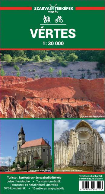
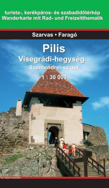
Ten popularny wśród Węgrów region wypoczynkowy znajduje się w Górach Zadunajskich. Sercem regionu jest okolica wioski Pilisszentkereszt oraz pobliski kurort Dobogókő, położony na wysokości 699 m n p m. Jest to uzdrowisko, doskonały punkt wypadowy dla turystów pieszych oraz centrum sportów zimowych. Słynie także z najpiękniejszych na Węgrzech widoków. Dawniej góry Pilis były jednym z lubianych obszarów polowań królów węgierskich i do tej pory w regionie można oglądać wiele starych domów myśliwskich.
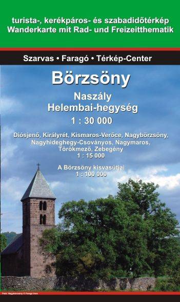
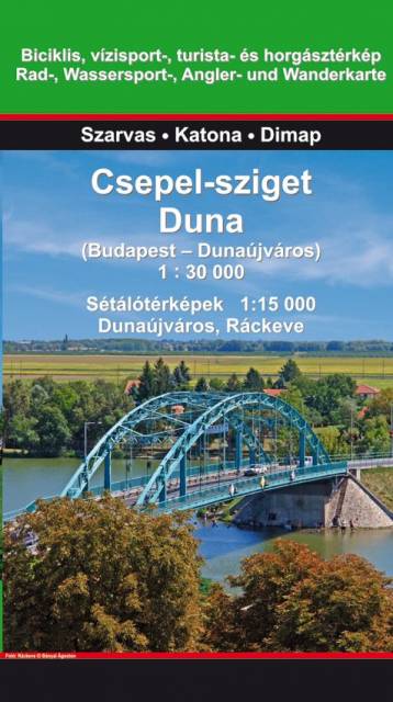
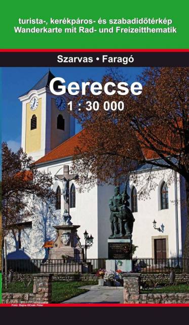
Mapa przedstawia teren rekreacyjny na północny zachód od Budapesztu. fragment Średniogórza Zadunajskiego pomiędzy pasmami Vértes i Pilis. Najwyższym punktem regionu jest Nagy-Gerecse o wysokości 634 m. Teren pokrywają w 70% lasy, w 5% zarośla, w 10% użytki rolne i w 15% zabudowania.
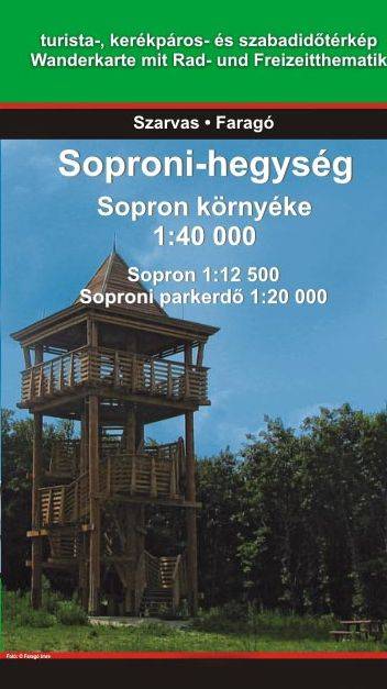
Góry Soprońskie (węg. Soproni-hegység) to pasmo górskie Alp Wschodnich na pograniczu Austrii i Węgier. Najwyższym szczytem jest leżący w Austrii Brentenriegel, wznoszący się na 606 m n.p.m. Nazwa gór pochodzi od położonego nieopodal węgierskiego miasta Sopron.
Rok wydania: 2014