category-icon

EuroVelo 4 Czechia - Central Europe Official Route

870 km
4368 m
4636 m
Oficjalny przebieg
Polecamy

Charakterystyka trasy

2025-05-23
category-icon
870 km
4368 m
4636 m
6/6
The EuroVelo 4 cycle route (also known as the Central Europe Route) in the Czech Republic is a captivating journey through the cultural, historical and natural beauty of the Czech Republic. The route begins at the German border near the town Cheb and follows the Ohře River towards Karlovy Vary, then meanders east, passing through picturesque villages and significant cities such as Prague and Brno, finally reaching the Polish border near Ostrava. Whether you are interested in history, architecture, nature, or cultural exploration, this route offers an unforgettable experience for every cyclist.


What is the EuroVelo 4 Cycle route?

EuroVelo 4, also known as Central Europe Route, is a long-distance cycling route covering approximately 5,050 kilometers, connecting seven European countries. It begins in Roscoff, France and runs through Belgium, the Netherlands, Germany, the Czech Republic, Poland, ending in Kyiv, Ukraine. Cyclists on the EuroVelo 4 route have the opportunity to experience a rich tapestry of European culture and history. From the medieval architecture of cities such as Kraków to the moving historical sites along the D-Day beaches and the vibrant culture of Kyiv, the route offers a diverse and enriching experience.


How long is this section of the route?

This section of the EuroVelo 4 cycle route covers a distance of around 900 kilometers, stretching from the German border near Cheb to the Polish border near Ostrava. The route is generally well signposted, with EuroVelo 4 signs and local cycling path numbers. The Czech Republic has a well-developed cycling network, so the infrastructure, including bike-friendly accommodations and rest stops, is relatively solid. The route offers a diverse and rich cycling experiences, from spa towns and mountain passes to historic towns and river valleys.


How long does it take to complete this section of the route?

The time required to complete this section of the EuroVelo 4 cycle route varies depending on individual cycling speed, daily distance and number of rest days. The route includes both flat sections along rivers and more challenging areas. Cyclists cover this distance in approximately 10 to 12 days, with an average daily distance of 80 to 100 kilometers per day. More experienced cyclists may maintain higher daily averages, while accasional cyclists or families with children may consider breaking the route into smaller sections, including more rest days for more comfortable and enjoyable journey experience.


Is the Czech Republic bike friendly?

Yes, the Czech Republic is becoming an increasingly bike-friendly destination, offering a combination of well-developed infrastructure, beautiful routes and a growing cycling culture. There are around 40,000 km of marked cycle routes in the country, including EuroVelo routes 4, 7, 9, and 13, which intersect Czechia. Cities like Prague are expanding their cycling infrastructure to increase urban mobility. Bike-sharing service Rekola operates over 2,000 bikes in many Czech cities, including Prague and Brno, offering convenient options for both locals and tourists. While there are areas that require further development, the country's commitment to promoting cycling makes it an attractive option for cyclists looking for a diverse cycling experiences.


Attractions along the route

This section of the EuroVelo 4 cycle route offers cyclists many attractions, such as:


Cheb

The starting point of this route, located near the border with Germany. It is home to one of the oldest and most important castles in the country Cheb Castle, as well as the historic town center with colorful Gothic and Renaissance townhouses.


Karlovy Vary

Famous for its natural mineral springs and thermal waters and elegant 19th century buildings lining the streets.


Karlštejn Castle

Majestic Gothic castle built in the 14th century by King Charles IV, located near Prague. It is one of the most famous and most visited castles in the country.


Prague

The capital city boasts iconic sites like Prague Castle, the largest ancient castle complex in the world, Charles Bridge, a 14th-century stone bridge decorated with statues, and the Old Town Square with its Astronomical Clock.


Brno

Known for its modernist architecture, including the Villa Tugendhat, a UNESCO-listed functionalist villa designed by Ludwig Mies van der Rohe. But also Špilberk Castle, a medieval fortress with panoramic view of the city, as well as underground labyrinths of cellars, cryptsand tunnels beneath the city center.


Poodří Protected Landscape Area

Region of wetlands and forests, ideal for bird watching and peaceful cycling.


Ostrava

The end point of this route, located near the Polish border. Definitely worth a visit is the Lower Vítkovice Area, a fascinating industrial heritage site turned into a cultural complex with concert halls and exhibitions.

Komentarze

NA TEJ TRASIE PRZYDA CI SIĘ MAPA Z NASZEJ APLIKACJI

Śnieżnik i Międzygórze
MAPA TURYSTYCZNA W APLIKACJI TRASEO
Śnieżnik i Międzygórze

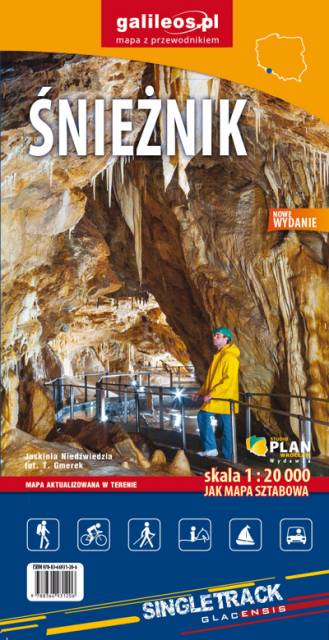
Mapa obejmuje obszar Masywu Śnieżnika. Na mapie zaznaczono informacje przydatne turyście, jak zabytki, noclegi, granice obszarów chronionych. W miejscowościach opisano nazwy głównych ulic. Podano aktualne przebiegi szlaków pieszych i rowerowych, łącznie z kilometrażem. Rok wydania 2021


{Galileos} Biskupia Kopa
MAPA TURYSTYCZNA W APLIKACJI TRASEO
{Galileos} Biskupia Kopa

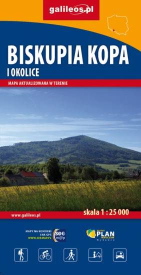
Mapa Biskupiej Kopy i obszaru całych Gór Opawskich, zarówno po stronie polskiej jak i czeskiej. Na mapie jest Góra parkowa, Biskupia Kopa, Góra Poprzeczna oraz obszar wokół Dzikowca. Mapa posiada aktualny przebieg tras turystycznych pieszych z długościami i czasami przejść. Naniesiono tu również ścieżki rowerowe i ścieżki przyrodnicze.

Góry Opawskie
MAPA TURYSTYCZNA W APLIKACJI TRASEO
Góry Opawskie

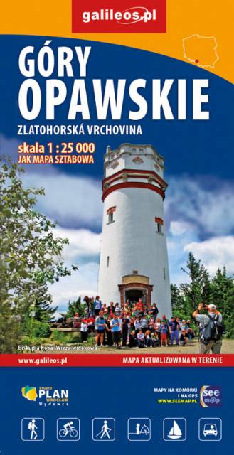
Mapa obejmuje obszar Gór Opawskich zarówno po stronie polskiej jak i czeskiej. Na mapie zaznaczono takie szczyty jak: Góra parkowa, Biskupia Kopa, Góra poprzeczna oraz obszar wokół Dzikowca. Zawiera aktualny przebieg tras turystycznych pieszych z długościami i czasami przejść oraz tras rowerowych i ścieżki przyrodnicze. Zaznaczono powstałe w ostatnich latach wiatrołomy. Miejsca atrakcyjne oznaczono kolorem żółtym. Rok wydania: 2022

Czarna Góra
MAPA TURYSTYCZNA W APLIKACJI TRASEO
Czarna Góra

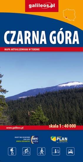
Mapa Czarnej Góry i okolic. Zakres mapy ograniczony jest miejscowościami: Stronie Śląskie, Bystrzyca Kłodzka, Międzylesie i Stare Miasto w Czechach. Znajduje się tu popularny ośrodek narciarski. Na mapie zaznaczono szlaki piesze i rowerowe (z długościami), konne, a także ścieżki przyronicze. Jest oznaczona baza noclegowa i gastronomiczna. 

Mapa została wydana jdunie w formie cyfrowej – brak dostępnej wersji papierowej.

Masyw Śnieżnika. Góry Bialskie. Králický Sněžník
MAPA TURYSTYCZNA W APLIKACJI TRASEO
Masyw Śnieżnika. Góry Bialskie. Králický Sněžník

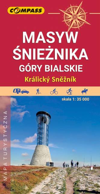
Mapa Masywu Śnieżnika przedstawia jedno z wyższych w Sudetach pasm górskich, które zamyka od południa Kotlinę Kłodzką. Zaliczamy je do Sudetów Wschodnich. Zasięg mapy wyznaczają: Bystrzyca Kłodzka na północnym-zachodzie, Międzylesie na południowym-zachodzie oraz Jindrichov na południowym-wschodzie. Obszar mapy obejmuje: Masyw Śnieżnika z najwyższym szczytem Śnieżnikiem (1426 m n.p.m.), Góry Bialskie, Kralicky Sneznik, częściowo także Rychlebske hory i Góry Złote oraz miasto Stronie Śląskie.
Duże zróżnicowanie krajobrazowe, doskonałe zagospodarowanie turystyczne podszczytowego rejonu Śnieżnika z jednej strony i „dzikość” Gór Bialskich z drugiej – to najlepsze atuty tego obszaru. Pobyt w tym regionie z pewnością miło wspominać będą nie tylko turyści piesi, ale także miłośnicy narciarstwa, jazdy rowerowej i konnej, wspinacze skałkowi oraz wędkarze. Rok wydania 2023

Góry Złote i Rychlebskie
MAPA TURYSTYCZNA W APLIKACJI TRASEO
Góry Złote i Rychlebskie

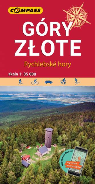
Mapa "Góry Złote" zawiera przebieg tras turystycznych pieszych i rowerowych, aktualizowany w terenie. Mapa obejmuje swym zasięgiem obszar od Paczkowa do Jeseníka (na osi płn. - płd.) oraz od Oldrzychowic Kłodzkich do Jarnołtowa (na osi wsch.-zach.) z zaznaczonymi ciągami komunikacyjnymi, szlakami turystycznymi, pieszymi i rowerowymi z wyznaczonymi odległościami i czasami przejść. Rok wydania 2022