category-icon

EuroVelo 13 Czechia - Iron Curtain Trail - official route

831 km
9535 m
9883 m
Oficjalny przebieg
Polecamy

Charakterystyka trasy

2025-05-23
category-icon
831 km
9535 m
9883 m
6/6
The EuroVelo 13 cycle route (also known as the Iron Curtain Trail) in the Czech Republic offers one of the richest historical and panoramic cycling experiences in Europe, running from the German border in the west to the Austrian border in the east. This route is ideal for cyclists looking for more than just a physical challenge. It is a trail that offers deep cultural immersion, a nuanced understanding of European history, and the simple joy of traversing diverse, peaceful countryside. In Czechia, the the ideological division of the Cold War left behind more than military infrastructure - it carved a corridor through pristine forests, hills, hidden villages and places where time seems to stand still. Whether you are a history enthusiast, a nature lover or a cycling adventurer, this route guarantees an exciting and unforgettable journey.


What is the EuroVelo 13 Cycle route?

EuroVelo 13, also known as the Iron Curtain Trail, is a long-distance cycling route that runs along the former Iron Curtain, the political and physical boundary that divided Eastern and Western Europe during the Cold War. It stretches for approximately 10,550 km and is one of the longest routes in the EuroVelo network, passing through 20 countries - from Norway all the way to Bulgaria. The route itself offers cyclists a unique opportunity to explore a diverse range of landscapes, including coastal areas, forests and mountainous regions, as well as a living history lesson, connecting numerous historical sites, museums and monuments commemorating the division of Europe and its subsequent reunification.


How long is this section of the route?

This section of the EuroVelo 13 cycle route covers approximately 800 kilometers, traversing the western, southern, and southeastern regions of the country. This section runs along the Czech Republic border and offers cyclists a unique opportunity to explore the historical remnants of the Cold War era, including former border crossings, watchtowers, and preserved military roads. The trail is well-signposted and provides access to various museums and monuments that commemorate the period of division in Europe.


How long does it take to complete this section of the route?

This section of the EuroVelo 13 cycle route usually takes between 14 to 20 days, depending on your pace and time you spend exploring along the way. This section of the trail runs from the German border near Aš in West Bohemia, through South Bohemia and South Moravia, to the Austrian border near Břeclav. It follows the former Iron Curtain, passing through forests, vineyards, historic towns and Cold War-era sites. The route is well-signposted and mostly traffic-free, using former military roads and forests, so terrain is a mix of asphalt, gravel, and forest paths. This makes it accessible for cyclists of various abilities, whether they opt for a quicker pace or a more relaxed journey filled with sightseeing, museum visits and exploring of the local culture.


Is the Czech Republic bike friendly?

Yes, the Czech Republic is becoming increasingly bike-friendly, offering a growing network of cycling infrastructure and supportive policies. Czechia boasts over 40,000 km of marked cycle trails, including national routes such as the Moravian Wine Trail. In urban areas, in cities such as Prague and Brno, cycling infrastructure is expanding to improve safety and accessibility for cyclists. The Czech government is actively investing in cycling infrastructure. Thanks to continuous investment and development, the Czech Republic has great potential for cyclists looking for both urban and rural cycling experiences.


Attractions along the route

The Czech section of EuroVelo 13 cycle route offers cyclists many attractions along the route, such as:


Šumava National Park

Often referred to as the "Green Roof of Europe," Šumava is the largest protected forest area in Central Europe, stretching over an area of around 900 km². Cyclists can traverse dense forests, pastures and remains of former settlements that were abandoned due to the Iron Curtain.


Vyšší Brod

This town is famous for its impressive Cistercian monastery, one of the few functioning male Cistercian monasteries in the Czech Republic. It's an ideal place to rest and absorb the spiritual and architectural heritage of the region.


Slavonice

Renaissance town near the Austrian border, Slavonice boasts well-preserved architecture and an open-air museum dedicated to Cold War-era defense works.


Znojmo

This town offers a maze of baroque alleys and a deep historical narrative. It is an excellent place to delve into Czech history and enjoy local architecture and cuisine.


Mikulov

Picturesque town known for its historical significance and vineyards. Cyclists can visit the Mikulov Castle and learn about the region's Jewish heritage at the local synagogue and cemetery.


Lednice and Valtice Castles

Listed on the UNESCO World Heritage list, this area is a masterpiece of 19th-century landscape architecture. It includes Lednice and Valtice castles, the Temple of Three Graces, and the Colonnade on Reistna. The region is an example of artistic creation of a cultural landscape, combining natural beauty with architectural splendor.

Komentarze

NA TEJ TRASIE PRZYDA CI SIĘ MAPA Z NASZEJ APLIKACJI

Śnieżnik i Międzygórze
MAPA TURYSTYCZNA W APLIKACJI TRASEO
Śnieżnik i Międzygórze

Mapa obejmuje obszar Masywu Śnieżnika. Na mapie zaznaczono informacje przydatne turyście, jak zabytki, noclegi, granice obszarów chronionych. W miejscowościach opisano nazwy głównych ulic. Podano aktualne przebiegi szlaków pieszych i rowerowych, łącznie z kilometrażem. Rok wydania 2021


Czarna Góra
MAPA TURYSTYCZNA W APLIKACJI TRASEO
Czarna Góra

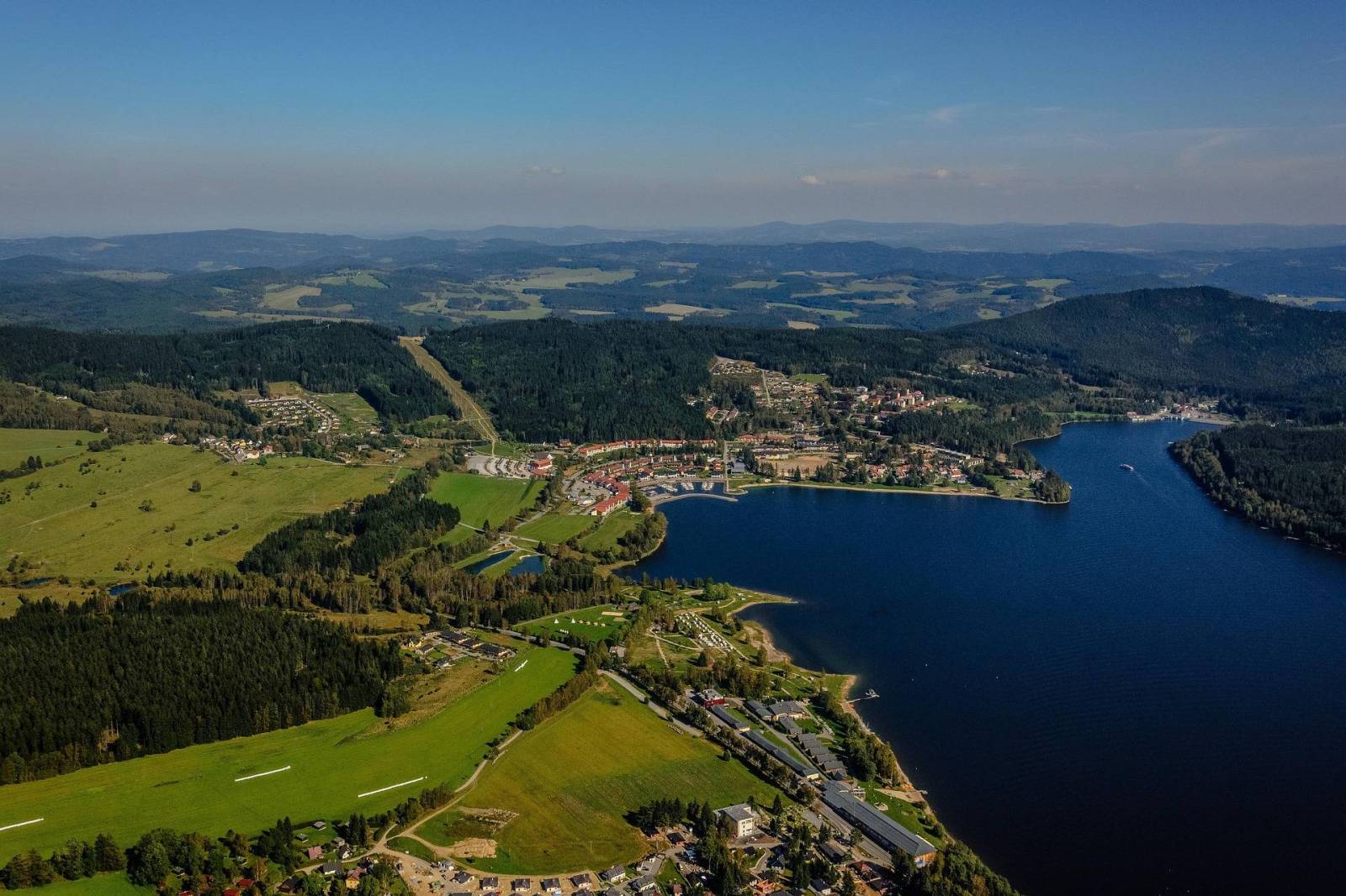
Mapa Czarnej Góry i okolic. Zakres mapy ograniczony jest miejscowościami: Stronie Śląskie, Bystrzyca Kłodzka, Międzylesie i Stare Miasto w Czechach. Znajduje się tu popularny ośrodek narciarski. Na mapie zaznaczono szlaki piesze i rowerowe (z długościami), konne, a także ścieżki przyronicze. Jest oznaczona baza noclegowa i gastronomiczna. 

Mapa została wydana jdunie w formie cyfrowej – brak dostępnej wersji papierowej.

Góry Złote - szczegółowa
MAPA TURYSTYCZNA W APLIKACJI TRASEO
Góry Złote - szczegółowa

Szczegółowa mapa turystyczna Gór Złotych z uwzględnieniem atrakcji, zabytków, noclegów, gastronomii oraz innych miejsc przydatnych turyście. Zawiera wszystkie znakowane szlaki turystyczne piesze, rowerowe, ścieżki dydaktyczne wraz z kilometrażem. Obejmuje swym zasięgiem pasmo Gór Złotych oraz takie miejscowości jak Paczków, Javornik, Złoty Stok, Lądek Zdrój, Stronie Śląskie.

Rok wydania: 2018

Masyw Śnieżnika. Góry Bialskie. Králický Sněžník
MAPA TURYSTYCZNA W APLIKACJI TRASEO
Masyw Śnieżnika. Góry Bialskie. Králický Sněžník

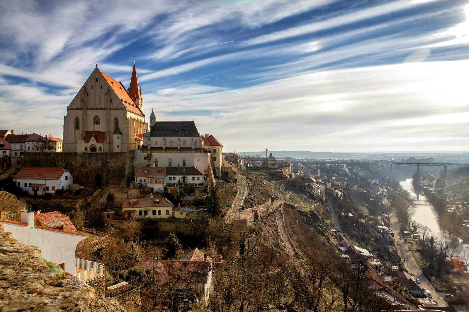
Mapa Masywu Śnieżnika przedstawia jedno z wyższych w Sudetach pasm górskich, które zamyka od południa Kotlinę Kłodzką. Zaliczamy je do Sudetów Wschodnich. Zasięg mapy wyznaczają: Bystrzyca Kłodzka na północnym-zachodzie, Międzylesie na południowym-zachodzie oraz Jindrichov na południowym-wschodzie. Obszar mapy obejmuje: Masyw Śnieżnika z najwyższym szczytem Śnieżnikiem (1426 m n.p.m.), Góry Bialskie, Kralicky Sneznik, częściowo także Rychlebske hory i Góry Złote oraz miasto Stronie Śląskie.
Duże zróżnicowanie krajobrazowe, doskonałe zagospodarowanie turystyczne podszczytowego rejonu Śnieżnika z jednej strony i „dzikość” Gór Bialskich z drugiej – to najlepsze atuty tego obszaru. Pobyt w tym regionie z pewnością miło wspominać będą nie tylko turyści piesi, ale także miłośnicy narciarstwa, jazdy rowerowej i konnej, wspinacze skałkowi oraz wędkarze. Rok wydania 2023

Góry Złote i Rychlebskie
MAPA TURYSTYCZNA W APLIKACJI TRASEO
Góry Złote i Rychlebskie

Mapa "Góry Złote" zawiera przebieg tras turystycznych pieszych i rowerowych, aktualizowany w terenie. Mapa obejmuje swym zasięgiem obszar od Paczkowa do Jeseníka (na osi płn. - płd.) oraz od Oldrzychowic Kłodzkich do Jarnołtowa (na osi wsch.-zach.) z zaznaczonymi ciągami komunikacyjnymi, szlakami turystycznymi, pieszymi i rowerowymi z wyznaczonymi odległościami i czasami przejść. Rok wydania 2022

Góry Złote | Rychlebske hory
MAPA TURYSTYCZNA W APLIKACJI TRASEO
Góry Złote | Rychlebske hory

Mapa Góry Złote obejmuje jedno z najdłuższych pasm górskich w środkowej części Sudetów Wschodnich ciągnące się szerokim łukiem długości ok. 40 km od Przeł. Kłodzkiej (489 m n.p.m.) na północnym zachodzie do Przeł. U Trzech Granic (1111 m n.p.m.) na południowym wschodzie. Nazwa pasma nawiązuje do złota wydobywanego przed wiekami w tych górach. Grzbietem Gór Złotych na dł. ok. 32 km wiedzie granica państwowa i po czeskiej stronie przyjmują nazwę Rychlebskich hor (od ruin zamku Rychleby). Zasięg mapy wyznaczają: Złoty Stok i Paczków na północy, Trzebieszowice na zachodzie, Jesenik na południu i Sławnowice na wschodzie.
Na turystów czeka tu sieć pieszych szlaków górskich, które prowadzą ku najatrakcyjniejszym miejscom, jakimi są grzbiety i szczyty górskie, przełęcze, miejsca widokowe, doliny, potoki i rzeki górskie. W okolicach Złotego Stoku, Lądka Zdroju i Stronia Śląskiego wytyczono wiele atrakcyjnych tras spacerowych i rowerowych. Rok wydania 2022