The Austria and Hungary segment of the EuroVelo 13 – Iron Curtain Trail, offers a unique blend of quiet rural landscapes, former border zones and symbolic crossings that once marked the division of Europe. This section of the route leads cyclists through peaceful countryside, historic borderlands and small towns that have evolved from sites of division into gateways of connection. The trail is a reflection of change, where fences have given way to cycle paths, and where Cold War history now coexists with natural beauty and cross-border cooperation. The combination of dedicated bike paths, low-traffic roads and developing infrastructure encourages contemplation and exploration. It is a journey shaped not only by geography but also by the memory of a divided continent.
What is the EuroVelo 13 Cycle route?
EuroVelo 13, also known as the Iron Curtain Trail, is a long-distance cycling route that runs along the former Iron Curtain, the border that divided Europe during the Cold War. The route runs from the Barents Sea in the north (in Norway) down to the Black Sea in the south (in Bulgaria and Turkey area). It is approximately 10,550 km long, passing through about 20 countries. It is intended as more than just a tourist or cycling trail but also an educational, cultural and environmental journey. The EuroVelo 13 route also fits with the concept of the European Green Belt, as a protection of natural habitats that once formed part of the border zones.
How long is this section of the route?
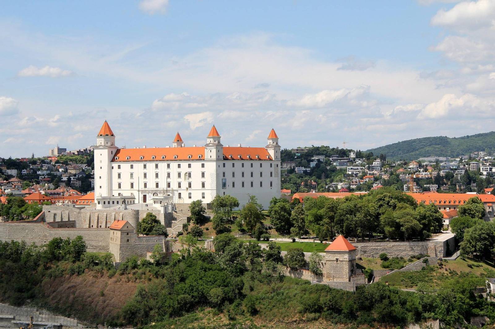
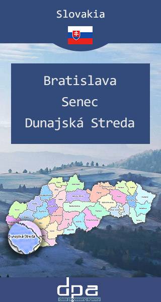
This section of the EuroVelo 13 cycle route covers approximately 230 km, starting in Bratislava, Slovakia, running along the Hungarian border and ending in Kőszeg. The route is mostly paved or asphalt, with a few very short passages on forest paths. Many stages pass through small villages ongood quality roads with low traffic. The route is well developed, signposted and very accessibile for standard tourist trips.
How long does it take to complete this section of the route?
This section of the EuroVelo 13 cycle route typically takes between 4 to 6 days, including stops for rest, food and sightseeing while cycling in very moderate but still relaxed pace. For someone more experienced cyclists wanting to complete longer daily stages with fewer stops, it is passible to complete it in 3 days. This section of the EuroVelo 13 cycle route can also be accessible and enjoyable for families with children if carefully planed. Remember to plan your daily distances carefully when riding with kids, allowing extra rests time, slower pace and detours to avoid heavy traffic or shared pedestrian paths.
Is Hungary bike friendly?
Hungary is becoming increasingly bike‑friendly, especially for tourists and recreational cyclists looking for scenic routes, cultural attractions, lake regions, border trails and more. Many regions are pleasant, well serviced, and have enough infrastructure to support multi‑day rides. This also applies to families who are not aiming for hardcore off‑piste paths, but want moderate daily distances on paved or well‑marked paths, with good accommodation, food and access to the train. There is a national “cycling‑friendly” service that certifies hotels, restaurants, attractions etc. Nearly 700 service providers are already certified, helping cyclists know where to stay, eat, refill or repair their bikes.
Attractions along the route
This section of the EuroVelo 13 cycling route offers cyclists many attractions, such as:
Fertő
A small Hungarian town near the Austrian border, best known for the magnificent Esterházy Palace, often called the “Hungarian Versailles,” built by Prince Miklós Esterházy in the mid‑18th century. The region around Lake Fertő also deserves special recommendation, offering a natural environments, educational trails, charming villages, folk architecture and cultural heritage.
Fertőrákos
A village located near the Lake Fertő and the Austrian border, home to a quarry full of ancient rock formations and Roman era elements and Cave Theatre.
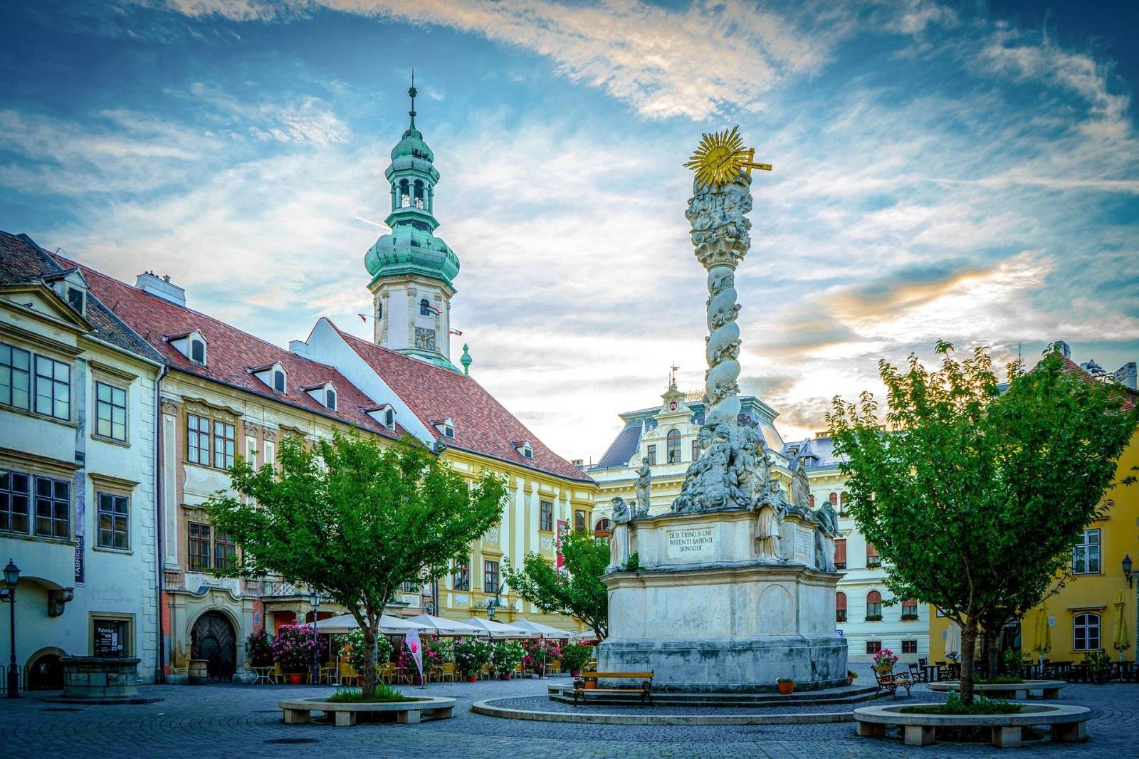
Sopron
A Historic town with many attractions such as: famous Fire Tower, the Mining Museum, Pharmacy Museum, several churches and a lovely old town to explore.
Kőszeg
A picturesque border town with many small local attractions, such as: historic architecture, memorial and story-telling houses, sacred sites and lookout points.
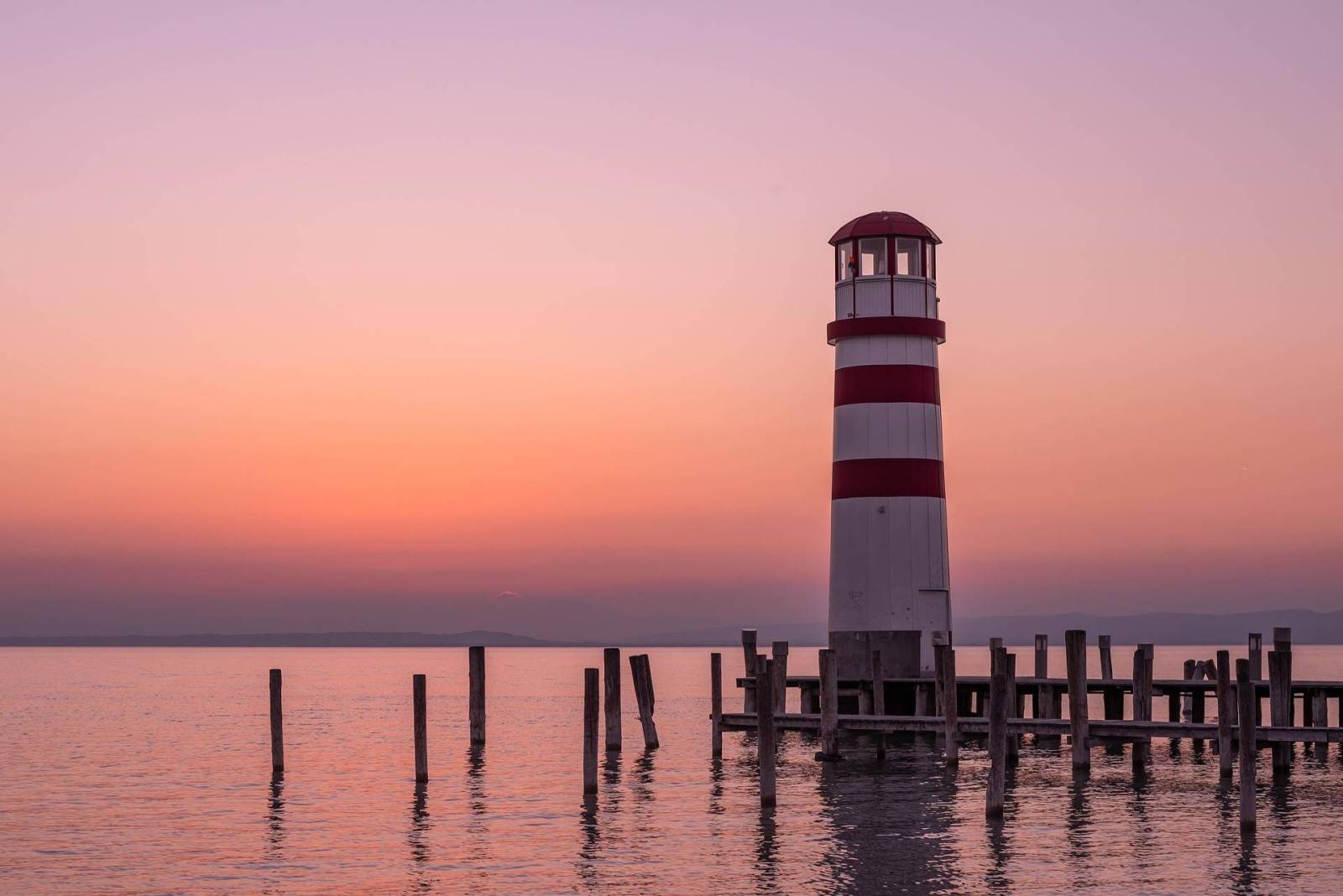
Burgenland
One of the states of Austria, located exactly on the border with Hungary. Filled with many smaller villages, cultural stops, historic buildings (like Halbturn Castle) and places related to the history of the Iron Curtain.
-------------------------------------------
Austriacko-węgierski odcinek trasy EuroVelo 13 – Szlaku Żelaznej Kurtyny oferuje wyjątkowe połączenie spokojnych wiejskich krajobrazów, dawnych terenów przygranicznych i symbolicznych przejść, które niegdyś wyznaczały podział Europy. Ten fragment trasy prowadzi rowerzystów przez ciche tereny wiejskie, historyczne pogranicza oraz małe miasteczka, które z miejsc podziału przekształciły się w przestrzenie łączące ludzi i kultury. Szlak odzwierciedla zmiany zachodzące w Europie – tam, gdzie kiedyś stały ogrodzenia, dziś biegną ścieżki rowerowe, a historia zimnej wojny współistnieje z pięknem natury i współpracą transgraniczną. Połączenie wydzielonych dróg rowerowych, lokalnych dróg o niewielkim natężeniu ruchu oraz rozwijającej się infrastruktury sprzyja zarówno refleksji, jak i odkrywaniu nowych miejsc. To podróż kształtowana nie tylko przez geografię, ale również przez pamięć o podzielonym kontynencie.
Czym jest trasa rowerowa EuroVelo 13?
EuroVelo 13, znana również jako Szlak Żelaznej Kurtyny, to długodystansowa trasa rowerowa biegnąca wzdłuż dawnej Żelaznej Kurtyny – granicy, która podczas zimnej wojny dzieliła Europę. Trasa prowadzi od Morza Barentsa na północy (w Norwegii) aż po Morze Czarne na południu (w rejonie Bułgarii i Turcji). Liczy około 10 550 km i przebiega przez około 20 krajów. Szlak ma być czymś więcej niż tylko trasą turystyczną czy rowerową – pełni również funkcję edukacyjną, kulturową i ekologiczną. EuroVelo 13 wpisuje się także w ideę Europejskiego Zielonego Pasa, chroniącego siedliska przyrodnicze powstałe na terenach dawnych stref granicznych.
Jak długa jest ta część trasy?
Ten odcinek trasy EuroVelo 13 ma około 230 km długości. Rozpoczyna się w Bratysławie na Słowacji, biegnie wzdłuż granicy z Węgrami i kończy się w miejscowości Kőszeg. Trasa jest w większości asfaltowa lub utwardzona, z kilkoma bardzo krótkimi fragmentami prowadzącymi drogami leśnymi. Wiele etapów przebiega przez niewielkie wsie po drogach dobrej jakości o małym natężeniu ruchu. Trasa jest dobrze rozwinięta, oznakowana i bardzo przystępna dla standardowych wycieczek turystycznych.
Ile czasu zajmuje przejechanie tego odcinka?
Pokonanie tego fragmentu trasy EuroVelo 13 zajmuje zazwyczaj od 4 do 6 dni, uwzględniając postoje na odpoczynek, posiłki i zwiedzanie przy umiarkowanym, rekreacyjnym tempie jazdy. Bardziej doświadczeni rowerzyści, planujący dłuższe dzienne etapy i mniej postojów, mogą ukończyć trasę w około 3 dni. Odcinek ten może być również odpowiedni i atrakcyjny dla rodzin z dziećmi, pod warunkiem odpowiedniego zaplanowania podróży. Warto dokładnie planować dzienne dystanse podczas jazdy z dziećmi, uwzględniając dodatkowy czas na odpoczynek, wolniejsze tempo oraz ewentualne objazdy pozwalające unikać większego ruchu drogowego lub wspólnych ciągów pieszo-rowerowych.
Czy Węgry są przyjazne rowerzystom?
Węgry stają się coraz bardziej przyjazne rowerzystom, szczególnie turystom i osobom preferującym rekreacyjną jazdę po malowniczych trasach, regionach jeziornych, terenach przygranicznych i miejscach o dużych walorach kulturowych. Wiele regionów jest dobrze przygotowanych na wielodniowe wyprawy rowerowe – oferuje odpowiednią infrastrukturę, zaplecze noclegowe i gastronomiczne. Dotyczy to również rodzin, które nie planują wymagającej jazdy terenowej, lecz preferują umiarkowane dzienne dystanse po asfaltowych lub dobrze oznakowanych trasach, z łatwym dostępem do noclegów, restauracji i połączeń kolejowych. W kraju działa również ogólnokrajowy system certyfikacji „cycling-friendly”, obejmujący hotele, restauracje, atrakcje turystyczne i inne usługi dla rowerzystów. Obecnie certyfikat posiada już niemal 700 obiektów, co ułatwia znalezienie miejsc do noclegu, jedzenia, uzupełnienia zapasów czy naprawy roweru.
Atrakcje na trasie
Ten odcinek trasy EuroVelo 13 oferuje rowerzystom wiele atrakcji, takich jak:
Fertőd
Niewielkie węgierskie miasteczko położone w pobliżu granicy z Austrią, najbardziej znane z imponującego Pałacu Esterházy, często nazywanego „węgierskim Wersalem”, zbudowanego przez księcia Miklósa Esterházyego w połowie XVIII wieku. Na szczególną uwagę zasługuje również region jeziora Fertő, oferujący piękne tereny przyrodnicze, ścieżki edukacyjne, urokliwe wsie, tradycyjną architekturę i bogate dziedzictwo kulturowe.
Fertőrákos
Wieś położona w pobliżu jeziora Fertő i granicy z Austrią, znana z kamieniołomu pełnego dawnych formacji skalnych, elementów z czasów rzymskich oraz teatru jaskiniowego.
Sopron
Historyczne miasto oferujące wiele atrakcji, takich jak słynna Wieża Ogniowa, Muzeum Górnictwa, Muzeum Farmacji, liczne kościoły oraz piękne stare miasto idealne do spacerów i zwiedzania.
Kőszeg
Malownicze przygraniczne miasteczko z wieloma lokalnymi atrakcjami, takimi jak zabytkowa architektura, domy pamięci i opowieści historycznych, miejsca sakralne oraz punkty widokowe.
Burgenland
Jeden z krajów związkowych Austrii, położony bezpośrednio przy granicy z Węgrami. Region pełen niewielkich miejscowości, przystanków kulturowych, zabytkowych budynków (takich jak zamek Halbturn) oraz miejsc związanych z historią Żelaznej Kurtyny.