
Charakterystyka trasy
2022-03-20
Lubin, jawor, Złotoryja, Lwówek Śląski, Lubań Zgorzelec, Gorlitz

Długość trasy:
158 kmSuma przewyższeń:
833 mSuma spadków:
775 mŚredni czas potrzebny na pokonanie trasy:
6 h 6 minOcena trasy:
5.1/6Komentarze
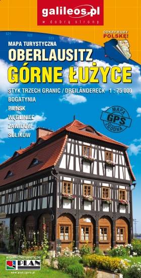
NA TYCH TRASACH PRZYDA CI SIĘ MAPOPRZEWODNIK LUB MAPA Z NASZEJ APLIKACJI
MAPA TURYSTYCZNA W APLIKACJI TRASEO
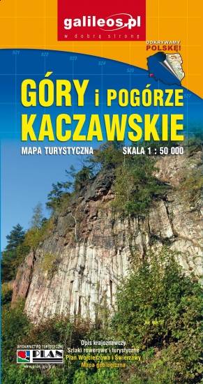
Góry i Pogórze Kaczawskie
Mapa Gór i Pogórza Kaczawskiego zawiera aktualny przebieg szlaków rowerowych i pieszych z zaznaczonymi najważniejszymi atrakcjami turystycznymi. Swoim zasięgiem obejmuje obszar zamknięty przez Legnicę na północy i Jelenią Górę na południu. Przedstawia także teren Parku Krajobrazowego Doliny Boru oraz Parku Krajobrazowego Chełmy.
MAPA TURYSTYCZNA W APLIKACJI TRASEO
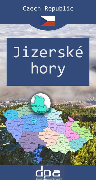
Góry Izerskie
Mapa obejmuje czeską część Góry Izerskich, malowniczego pasma Sudetów rozciągającego się na styku granic Polski, Czech i Niemiec. Region znany jest jako ważny ośrodek sportów zimowych - w tym narciarstwa biegowego. Na Polanie Jakuszyckiej odbywa się m.in. Bieg Piastów, a po czeskiej stronie tzw. Jizerská padesátka – bieg na nartach na odcinku 50 km. Po czeskiej stronie funkcjonuje także popularne centrum narciarstwa zjazdowego w Bedřichovie.