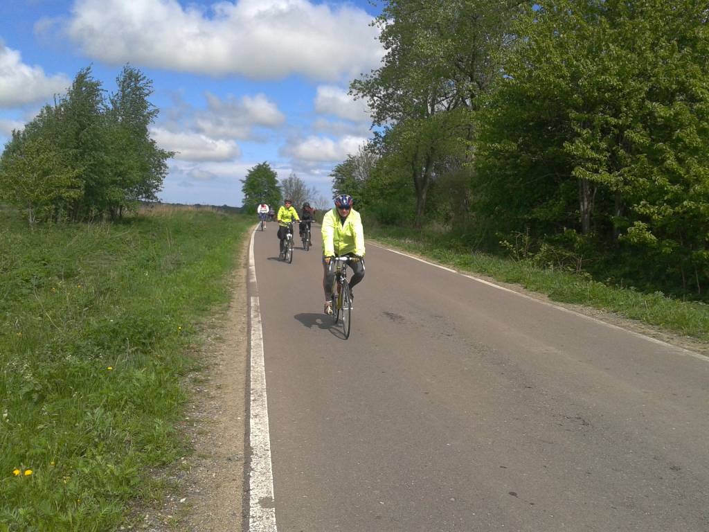

Charakterystyka trasy

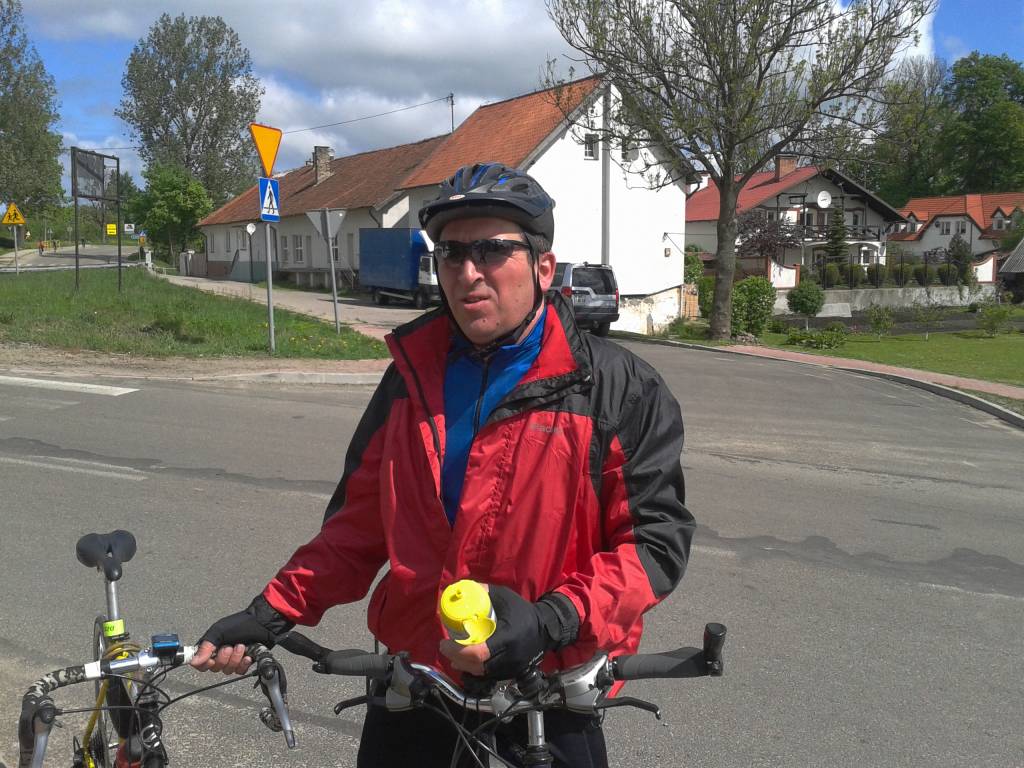
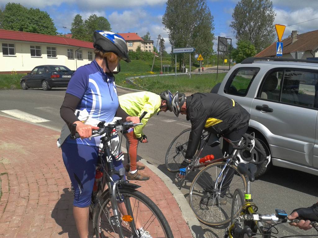
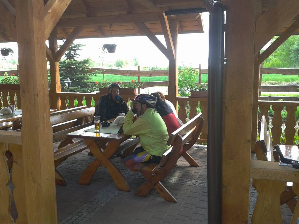
Komentarze
NA TYCH TRASACH PRZYDA CI SIĘ MAPOPRZEWODNIK LUB MAPA Z NASZEJ APLIKACJI

Mapa turystyczna "Park Krajobrazowy Mierzeja Wiślana" została opracowana we współpracy z pracownikami tegoż Parku, dzięki czemu stanowi dokładne i rzetelne źródło informacji na temat tego obszaru. Mapa Mierzei Wiślanej doskonale nadaje się do uprawiania zarówno turystyki pieszej, jak i rowerowej. Mapa swoim obszarem zamyka się na zachodzie przy Mikoszewie, na wschodzie zaś przy Fromborku.

Mapa Kociewia i Powiśla w części wschodniej obejmuje obszar zamknięty przez Białą Górę na zachodzie, Kwidzyn na południu i Elbląd na północnym wschodzie. Mapa zawiera szczegółowy obraz terenu, wraz ze szlakami i atrakcjami turystycznymi. Na mapie Powiśla i Kociewia znajdziemy m.in. Szlak Żuław Szlak Kopernikowski, Międzynarodowy Szlak Rowerowy R1.
Kociewie jest to region etnograficzno-kulturowy na Pomorzu Gdańskim, położony na lewym brzegu Wisły w dorzeczu Wdy i Wierzycy, obejmujący wschodnią część Borów Tucholskich. W przybliżeniu Kociewie zajmuje obszar obecnych powiatów starogardzkiego, tczewskiego i północnej części świeckiego, zamieszkany przez ok. 350 tys. mieszkańców. Część mieszkańców regionu posługuje się gwarami kociewskimi.
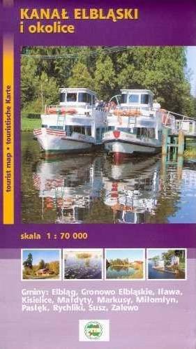
Mapa "Kanał Elbląski" przedstawia przebieg jednej z większych atrakcji Polski północnej, jaką jest właśnie Kanał Elbląski, czyli żeglowna droga wodna na terenie województwa warmińsko-mazurskiego. W latach 70. XX w. część kanału została uznana za zabytek techniki. W ostatnim czasie Kanał przeszedł modernizację, dzięki czemu stał się jeszcze bardziej godnym odwiedzenia. Mapa turystyczna Kanału Elbląskiego przedstawia największe atrakcje okolicy, zabytki, drogi i ścieżki.
Rok wydania: 2012
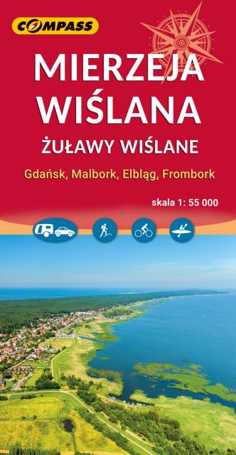
Mapa Wydawnictwa Compass "Mierzeja Wiślana i Żuławy Wiślane" poza wymienionymi w tytule Mierzeją i Żuławami Wiślanymi obejmuje swoim zasięgiem także, Wysoczyznę Elbląską oraz część Pojezierza Kaszubskiego, Wybrzeże Staropruskie, Pojezierze Starogardzkie i Dzierzgońsko-Morąskie. Mapa uwzględnia sieć szlaków turystycznych, rowerowych, a także szlaki żeglowne, porty i przystanie oraz Przekop Mierzei Wiślanej. Rok Wydania 2023
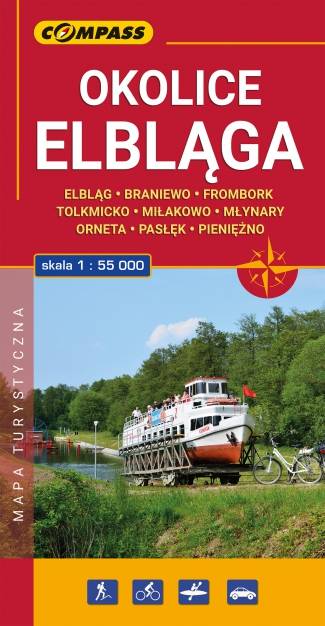
Mapa turystyczna "Elbląg i okolice" w skali 1:55 000, opracowana w ramach bliskiej współpracy z Oddziałem PTTK w Elblągu. Tytuł "Okolice Elbląga" to tylko hasło, bo mapa obejmuje obszar szeroko pojętych okolic Elbląga. Sięga oczywiście po Frombork, Krynicę Morską, Pasłęk, Braniewo, a na wschodzie aż po Pieniężno, Ornetę, Miłakowo. Zatem niezwykle atrakcyjne, ale może niezbyt popularne turystycznie tereny Wysoczyzny Elbląskiej i północnej Warmii.