

Charakterystyka trasy

Komentarze
NA TYCH TRASACH PRZYDA CI SIĘ MAPOPRZEWODNIK LUB MAPA Z NASZEJ APLIKACJI
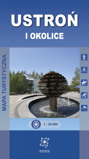
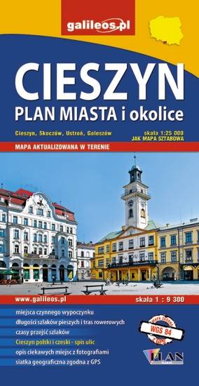
Mapa turystyczna Ustroń i okolice obejmuje swoim obszarem gminę Ustroń, a także częściowo sąsiadujące miejscowości m.in. Górki Wielkie, Górki Małe, zachodnią część Brennej, północną część Wisły i Nydka (Republika Czeska) oraz wschodnią część gminy Goleszów.
Mapa prezentuje szlaki turystyczne z czasami przejść, ścieżki spacerowe i dydaktyczno-przyrodnicze, trasy rowerowe, szlaki konne i narciarskie. Zaznaczone są tu również atrakcje turystyczne, punkty widokowe, schroniska i inne obiekty noclegowe, a także pozostałe informacje niezbędne turyście podczas wędrówek górskich.
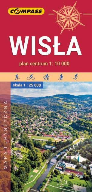
Mapa przedstawia okolice ciekawej miejscowości turystycznej, położonej w Beskidzie Śląskim. Zasięg mapy wyznaczają: Ustroń na północy, Wielka Czantoria na zachodzie, Istebna na południu i Barania Góra na wschodzie. Okolice Wisły słyną z licznych szlaków pieszych i rowerowych oraz atrakcyjnych tras narciarstwa biegowego. Znajduje się tu ponad 20 nowoczesnych wyciągów narciarskich, a także liczne ośrodki sportowo-rekreacyjne. Na mapie zastosowano cieniowanie w celu uzyskania wrażenia plastyczności rzeźby terenu.
Mapa zawiera także plan centrum Wisły w skali 1:10'000 oraz opisy głównych atrakcji Wisły wraz z informatorem teleadresowym (baza noclegowa, urzędy, komunikacja, kultura, rekreacja). Mapę offline można zakupić w aplikacji Traseo na urządzenia mobilne. Rok wydania 2022
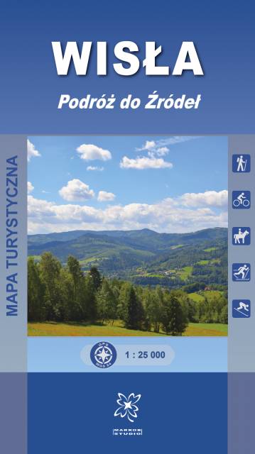
Mapa turystyczna „Wisła. Podróż do Źródeł” obejmuje swoim obszarem gminę Wisła, a także częściowo sąsiadujące miejscowości m.in. południową część Ustronia oraz Brennej.
Mapa prezentuje szlaki turystyczne z czasami przejść, ścieżki spacerowe i dydaktyczno-przyrodnicze, trasy rowerowe, szlaki konne i narciarskie. Zaznaczone są tu również atrakcje turystyczne, punkty widokowe, schroniska i inne obiekty noclegowe, a także pozostałe informacje niezbędne turyście podczas wędrówek górskich. Mapa zawiera również wyciągi narciarskie wraz z trasami zjazdowymi. Sprawdzi się we wszystkich 4 porach roku!
Beskid Śląski, którego fragment obejmuje niniejsza mapa, jest najdalej, na terenie Polski, na zachód wysuniętą grupą górską Beskidów Zachodnich. Obszar to niezwykle atrakcyjny, bo znajdziemy tutaj zarówno ciekawe miejscowości pełne drewnianej architektury, jak również znane powszechnie szczyty górskie, przełęcze i rzeki czy różnorakie atrakcje turystyczne. Jednocześnie jest to obszar niezwykle barwny kulturowo. Pielęgnowane od pokoleń lokalne tradycje stały się same w sobie atrakcjami, przyciągającymi w Beskid Śląski rzesze turystów.
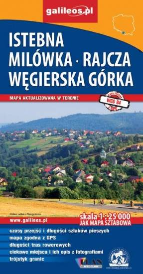
Mapa obejmuje obszar Czech, Słowacji i Polski wokół Trójstyku granic o promieniu ok. 30 km. Jest na niej Jablunkov, Cadca, Istebna, Koniaków, Zwardoń oraz szczyt górski Wielka Racza. Mapa jest w skali 1: 25 000, więc pokazuje więcej treści i szczegółów niż inne mapy w dostępnych skalach. Wszystkie szlaki opisano długościami i czasami przejść. Mapa jest cieniowana, więc wizualizacja ukształtowania terenu jest bardziej przystępna.
Rok wydania: 2017