category-icon

Droga Św. Józefa

40 km
33 m
32 m
Kokotek
no photo

Charakterystyka trasy

2021-03-26
Kokotek
category-icon
Długość trasy:
40 km
Suma przewyższeń:
33 m
Suma spadków:
32 m
Ocena trasy:
1.6/6

Komentarze

NA TYCH TRASACH PRZYDA CI SIĘ MAPOPRZEWODNIK LUB MAPA Z NASZEJ APLIKACJI

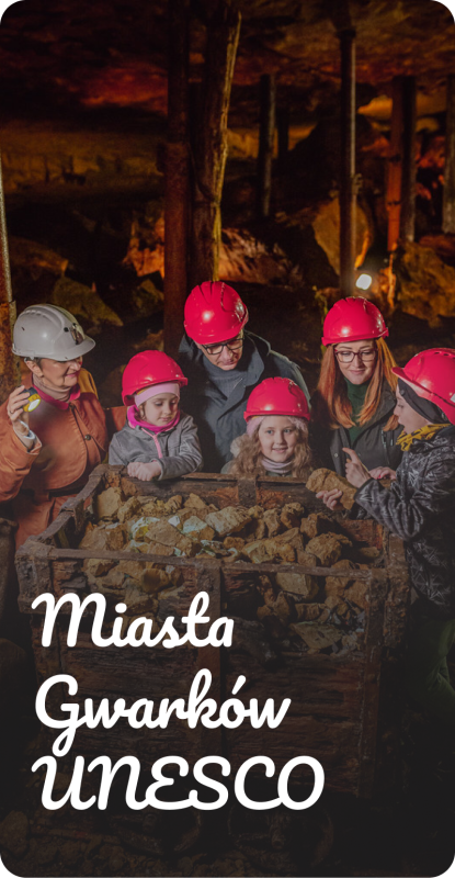
Miasta Gwarków UNESCO
Źródła industrialnego Śląska- Tarnowskie Góry, Bytom i Zbrosławice
Miasta Gwarków to obszar, w którym historia górnictwa łączy Tarnowskie Góry, Bytom i Zbrosławice. Rowerem, lub pieszo odkryjesz tu krajobrazy ukształtowane przez wydobycie srebra, ołowiu i cynku, zabytki techniki, przyrodę oraz miejsca związane z życiem gwarków. Najważniejsze atrakcje można zwiedzać także od środka – od Zabytkowej Kopalni Srebra i Sztolni Czarnego Pstrąga po przejazd Górnośląskimi Kolejami Wąskotorowymi. Warto zostać na dłużej: Miasta Gwarków oferują bogatą bazę atrakcji turystycznych, restauracji, kawiarni i noclegów. To tutaj bije źródło industrialnego Śląska, a obiekty wpisane na Listę Światowego Dziedzictwa UNESCO zapraszają do poznania lokalnej historii.

Trasy rowerowe

5
108
Mapoprzewodnik
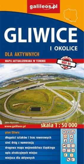
Gliwice Area
MAPA TURYSTYCZNA W APLIKACJI TRASEO
Gliwice Area
The map covers part of the Silesian Voivodeship in southern Poland: Gliwice city and its surroundings. Lot of information useful for tourists is marked on the map: monuments, accomodation facilities, protected areas, cycling and walking trails. The most interesting places are highlighted with a yellow frame.
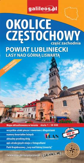
Częstochowa Region
MAPA TURYSTYCZNA W APLIKACJI TRASEO
Częstochowa Region

The map covers west suburbs of Częstochowa, Upper Liswarta Forests Landscape Park and Lubliniec County. Tourist attracions, cycling and walking trails, as well as protected areas and natural monuments are marked on the map.

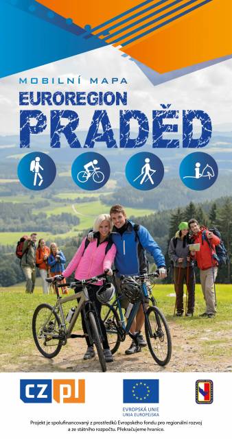
Euroregion Praděd
MAPA TURYSTYCZNA W APLIKACJI TRASEO
Euroregion Praděd

Turistická mapa Euroregionu Praděd zahrnuje území česko-polského příhraničí: na české straně okresy Jeseník a Bruntál, na polské straně Opolské vojvodství. Speciálně zpracovaný kartografický podklad obsahuje nezbytné informace pro aktivní turistiku v přeshraniční oblasti: pěší, jezdecké, cyklistické stezky a další významné objekty infrastruktury cestovního ruchu. 

Mapa byla zpracována v rámci projektu „E-bike moderní turistika" spolufinancovaného z prostředků Evropského fondu pro regionální rozvoj a ze státního rozpočtu. „Překračujeme hranice"

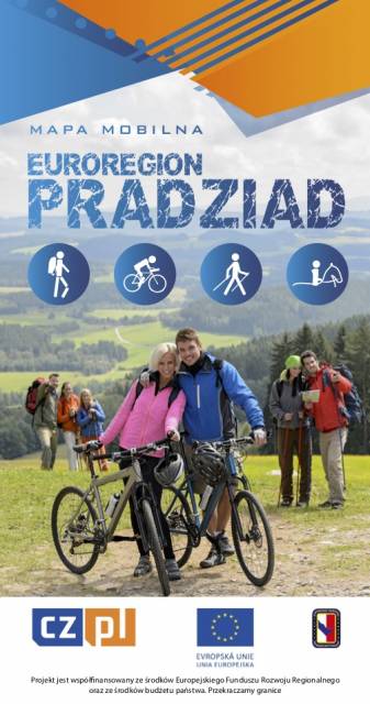
Euroregion Pradziad
MAPA TURYSTYCZNA W APLIKACJI TRASEO
Euroregion Pradziad

The tourist map of the Pradziad Euroregion covers the area of the Polish-Czech border region: the Opolskie voivodeship on the Polish side and the Jeseník and Bruntál regions on the Czech side. A specially developed cartographic base contains necessary information for active tourism in the cross-border region: hiking trails, horse riding trails, cycle routes and others.

The map was produced under the project "E-bike modern tourism" co-financed by the European Regional Development Fund and the state budget. "We cross borders".


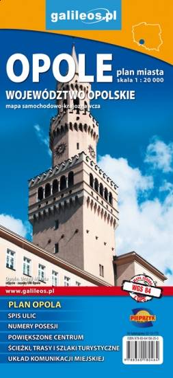
Opole and Opole Voivodeship
MAPA TURYSTYCZNA W APLIKACJI TRASEO
Opole and Opole Voivodeship

The map covers the Opole Voivodeship in 1:190 000 scale and Opole city in 1:20 000 scale. On the map there are depicted present courses of roads, borders of counties and municipalities, petrol stations, hotels, parkings and monuments.

Miejscowości na trasie