

Charakterystyka trasy

Komentarze
NA TYCH TRASACH PRZYDA CI SIĘ MAPOPRZEWODNIK LUB MAPA Z NASZEJ APLIKACJI
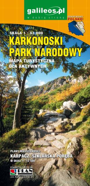
Mapa wydawnictwa Galileos w skali 1:33 000 obejmująca swoim zasięgiem obszar Karkonoskiego Parku Narodowego i okolic, została zaktualizowana w terenie. Karkonoski Park Narodowy to jeden z najbardziej popularnych wśród turystów regionów. Na mapie zaznaczono atrakcje turystyczne i krajoznawcze, a także informacje praktyczne. Oznaczono przebieg szlaków turystycznych: pieszych i rowerowych wraz z czasami przejść. Rok wydania 2020
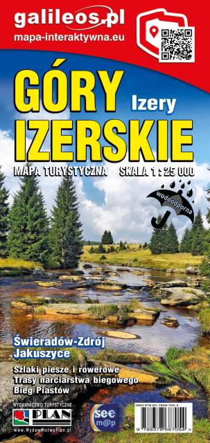
Jedna z najdokładniejszych na rynku map Gór Izerskich. Zawiera najważniejsze grzbiety zarówno po polskiej, jak i czeskiej stronie Gór Izerskich i Jizerskych hor. Mapa została zaktualizowana w terenie i zawiea najważniejsze atrakcje turystyczne i krajoznawcze. Oznaczono na niej szlaki turystyczen: piesze i rowerowe wraz z czasami przejść. Rok wydania 2022
Mapa Karkonosze przedstawia najwyższe pasmo górskie Sudetów, znajdziemy na niej aktualny przebieg szlaków turystycznych wraz z orientaycjnym czasem przejścia, szczyty i atrakcje turystyczne. Mapę Karkonoszy zamykają czeskie Rokytnice nad Jizerou na zachodzie oraz Velka Upa na południu, Kowary na wschodzie i Jelenia Góra na północy. Ważniejsze atrakcje turystyczne zostały wyszczególnionea, a ukształtowanie terenu pokazano przy pomocy poziomic co 10 m. Rok wydania 2022
Mapa w świetnej skali 1:35 000. Na mapie znajdują się Karkonosze, Góry Izerskie, plany (centra miast) Świeradowa-Zdroju, Karpacza, Szklarskiej Poręby oraz czeskich miejscowości: Harrachova i Szpindlerowego Młynu.
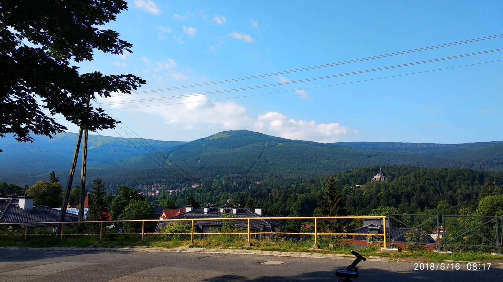
Karkonosze to najwyższe pasmo górskie Sudetów rozciągające się na długości około 40 km. Głównym grzbietem przebiega granica polsko-czeska. Najwyższym szczytem jest Śnieżka (1603 m n.p.m.). Wyróżniającym się elementem krajobrazu Karkonoszy są kotły polodowcowe z malowniczymi jeziorkami oraz unikatowe formacje skalne. Tutaj swoje źródła ma największa czeska rzeka - Łaba. Symboliczną studnię odnaleźć można pod Łabskim Szczytem, na wysokości 1386 m n.p.m. Krajobraz karkonoski urozmaicają licznie występujące na potokach wodospady i kaskady. Występujące tu wody termalne i mineralne przyczyniły się do rozwoju znanych uzdrowisk - Cieplic i Świeradowa-Zdroju, a w Czechach - Janské Lázně.
Góry Izerskie to najbardziej na zachód wysunięte pasmo Sudetów położone na terenie Czech i Polski. Składa się z niezbyt wysokich grzbietów górskich. Najwyższym wzniesieniem jest Wysoka Kopa (1126 m n.p.m.). Takie ukształtowanie powierzchni w połączeniu z dobrym zagospodarowaniem i dużą atrakcyjnością terenu przyczyniło się do rozwoju turystyki - pieszej, rowerowej i narciarstwa biegowego. Gęsta sieć utwardzonych dróg niczym magnes przyciąga licznie przybywających tu kolarzy górskich. Zimą popularne Izery oferują dobrze przygotowane trasy pod biegówki. Najpopularniejszym miejscem do uprawiania narciarstwa biegowego są Jakuszyce.
Rok wydania: 2022
Mapa turystyczna "Góry Izerskie" przedstawia duży obszar polskiej i czeskiej części tych gór. Granicę mapy na zachodzie wyznacza czeski Liberec, na północy Gryfów Śląski, a na wschodzie fragment Parku Krajobrazowego Doliny Bobru. Na mapie znajdują się także Szklarska Poręba, Jakuszyce oraz Harrachov. Rok wydania 2020