


Ryszardrychocyclo
Charakterystyka trasy
2021-06-30
Soraga

Długość trasy:
74 kmSuma przewyższeń:
1956 mSuma spadków:
1961 mŚredni czas potrzebny na pokonanie trasy:
6 hOcena trasy:
1.3/6Komentarze
NA TYCH TRASACH PRZYDA CI SIĘ MAPOPRZEWODNIK LUB MAPA Z NASZEJ APLIKACJI
MAPA TURYSTYCZNA W APLIKACJI TRASEO
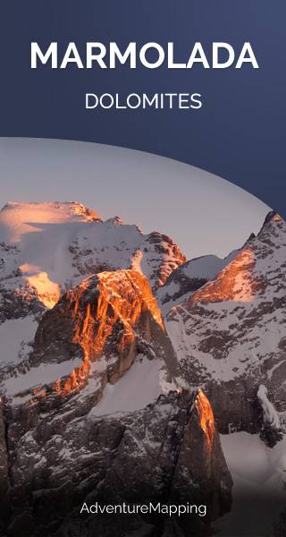
Marmolada
Marmolada is a mountain in northeastern Italy and the highest mountain and one of the most popular tourist destination of the Dolomites. It lies between the borders of Trentino and Veneto. The mountain is located about 100 kilometres north-northwest of Venice, from which it can be seen on a clear day. On the north side there is a comparatively flat glacier, the only large glacier in the Dolomites.
MAPA TURYSTYCZNA W APLIKACJI TRASEO
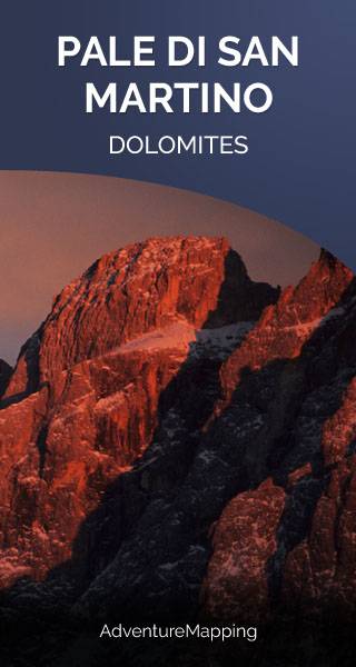
Pala Group
The Pala group is a mountain range in the Dolomites, in the eastern Trentino and part of the province of Belluno, northern Italy. They cover an area of c. 240 km² between the Primiero, Valle del Biois and Agordino. They include a large plateau (altopiano delle Pale), spanning for some 50 km² between 2,500 and 2,800 m, an empty rocky extent.