


Charakterystyka trasy

Komentarze
NA TYCH TRASACH PRZYDA CI SIĘ MAPOPRZEWODNIK LUB MAPA Z NASZEJ APLIKACJI
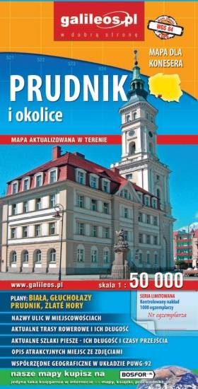
Mapa Prudnika i okolic obejmuje obszar od Nysy i Krapkowic do Głuchołaz i Města Albrechtickiego. Naniesiono wszystkie trasy rowerowe, szlaki piesze i konne. Podano ich długość a przy szlakach pieszych również czasy przejść. We wszystkich miejscowościach podano nazwy ulic. Na mapie użyta jest siatka geograficzna, opisana co 1 minutę (szerokość geograficzna) i 2 minuty (długość geograficzna). W formie drukowanej mapa wydana została w nakładzie 1000 egzemplarzy jako limitowana seria.
Mapa jest w zasięgu: od Kłodzka do Nysy, na północ do Strzelina i Dzierżoniowa. Opracowanie zawiera informacje niezbędne każdemu turyście m.in. położenie zabytków, bazę noclegową oraz przebieg wszystkich szlaków pieszych, ścieżek dydaktycznych, tras rowerowych oraz modnych ostatnio Singletraków. Dla łatwego czytania podano ich długości. Mapa opisana na siatce WGS 84, zgodna z polskimi systemami nawigacyjnymi.
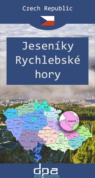
Mapa przedstawia dwa niewielkie pod względem wysokości pasma górskie Sudetów rozciągające się na granicy Polski i Czech, na pograniczu Moraw i Śląska. W Jesionikach najbardziej rozpoznawalnym szczytem jest Pradziad (1491 m n.p.m.) znajdujący się w paśmie górskim Wysokiego Jesionika, stanowiący jednocześnie najwyższy szczyt Śląska Czeskiego, Górnego Śląska i Moraw i całych Sudetów Wschodnich. Na jego szczycie ustawiona jest charakterystyczna wieża telewizyjna przypominająca kształtem rakietę kosmiczną. Wierzchołek jest dobrze widoczny z wielu punktów widokowych oraz wyższych miejsc w promieniu nawet kilkuset kilometrów, nie tylko Czech, ale również południowo zachodnich województw: opolskiego czy dolnośląskiego. Góry Złote to jedno z najdłuższym pasm Sudetów, rozciągające się z Przełęczy Kłodzkiej na północnym zachodzie, aż do Przełęczy Ramzovskiej. Tereny Gór Złotych są słabo zaludnione i bardzo atrakcyjne dla turystyki pieszej oraz narciarskiej. Najsłynniejszą atrakcją regionu jest dawna podziemna kopalnia złota i arsenu w Złotym Stoku.

Na mapie Przedgórza Sudeckiego zaznaczono informacje przydatne turyście, jak zabytki, noclegi, granice obszarów chronionych. W miejscowościach opisano nazwy ulic. Podano aktualne przebiegi szlaków pieszych, rowerowych, narciarskich i konnych, łącznie z kilometrażem, co pozwoli łatwiej zaplanować wycieczkę. Przy szlakach pieszych podano także orientacyjny czas przejścia. Zaznaczono wyciągi narciarskie i trasy zjazdowe. Ukształtowanie terenu pokazano przy pomocy warstwic o cięciu co 20 m.
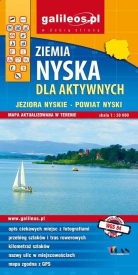
Mapa Ziemi Nyskiej obejmuje miasto Nysa wraz z sąsiednimi gminami. Szczególnie atrakcyjne miejsca zaznaczono żółtą ramką. Podano aktualne przebiegi szlaków pieszych, rowerowych i kajakowych, łącznie z kilometrażem, co pozwala łatwiej zaplanować wycieczkę. Na mapie zaznaczono przebieg Szlaku Czarownic oraz Szlaku św. Jakuba.