

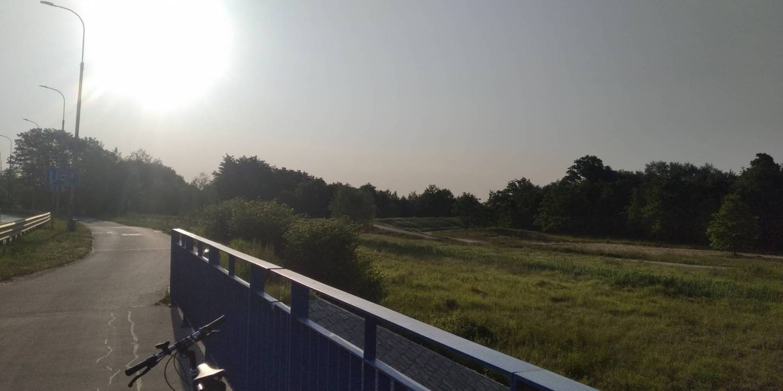
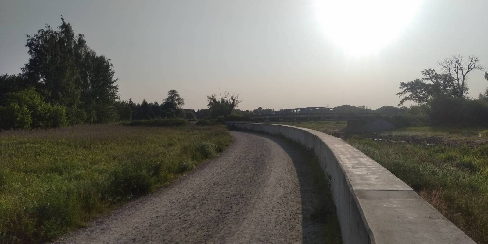
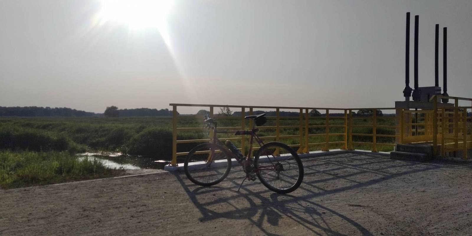
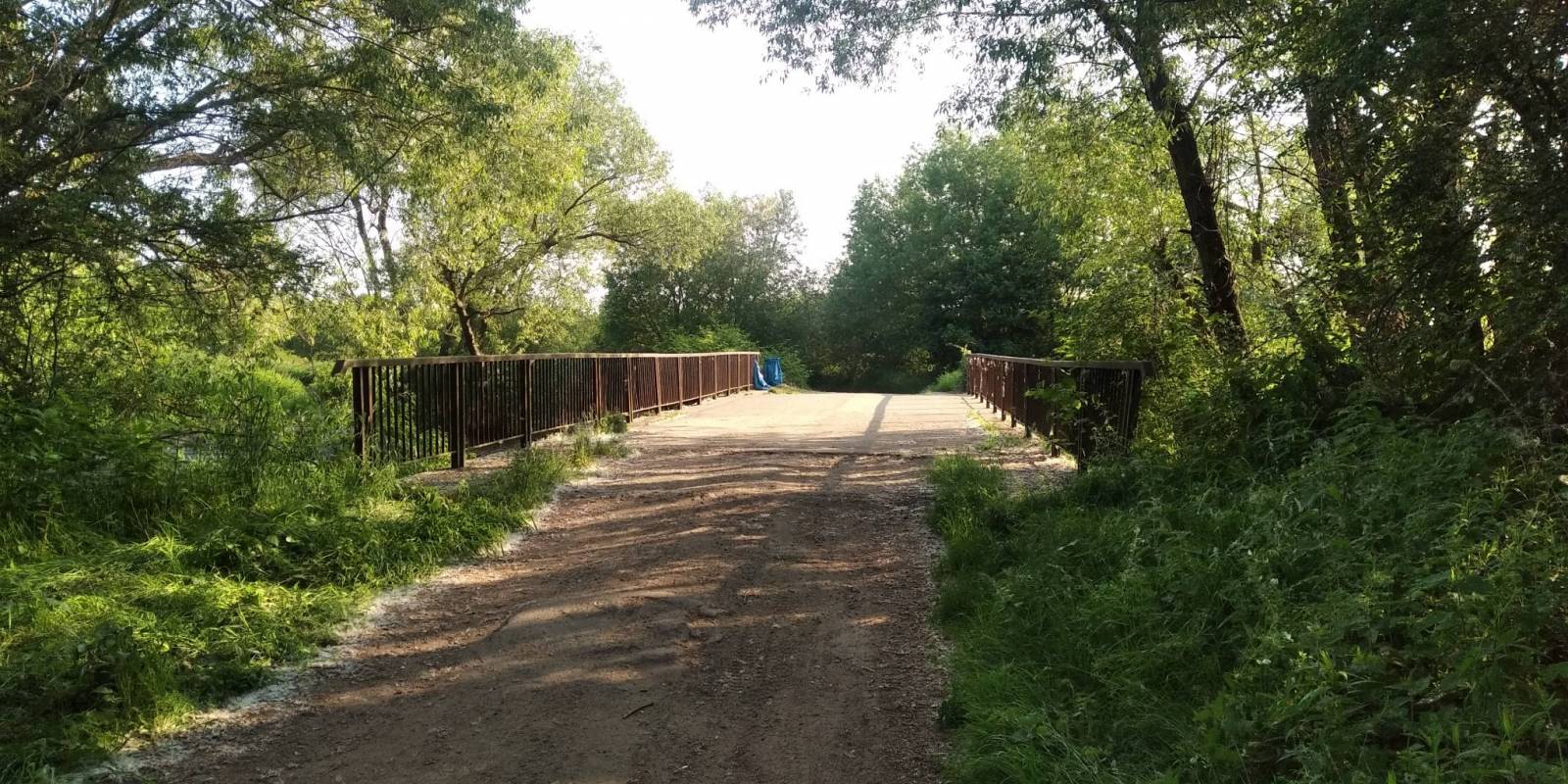

Charakterystyka trasy

Komentarze
NA TYCH TRASACH PRZYDA CI SIĘ MAPOPRZEWODNIK LUB MAPA Z NASZEJ APLIKACJI
Map in detailed scale range: Wrocław city center to the west, Brzeg to the east, Wiązów to the south, Oleśnica to the north. A lot of information useful for tourists is marked on the map: monuments, accomodation facilities, protected areas, cycling and walking trails, as well as street names and the type of road surface.
The Stobrawa Landscape Park is a protected area in south-western Poland, in te Opole Voivodeship. Map range: Turawa lake to the south-east, Wołczyn to the north, Brzeg to the east. A lot of information useful for tourists is marked on the map, e.g. monuments, wayside shrines, natural monuments and protected areas.

The map covers the Lower Silesian Cycling Region, i.e. the territory of the Górowski, Třebnik and Milicki districts, as well as the communes of Wołów, Twardogóra and Dobroszyce. All walking, cycling, horse riding and canoeing trails as well as nature and educational paths have been marked here. Particularly highlighted are the existing cycle tracks, those under construction and those planned for the future. The map includes tourist and nature attractions and accommodation facilities. Additionally, cycling-friendly places have been marked. The descriptive part illustrated with photographs covers the map's area by region, selected cycling routes and a brief description of cyclist-friendly places.

Turistická mapa Euroregionu Praděd zahrnuje území česko-polského příhraničí: na české straně okresy Jeseník a Bruntál, na polské straně Opolské vojvodství. Speciálně zpracovaný kartografický podklad obsahuje nezbytné informace pro aktivní turistiku v přeshraniční oblasti: pěší, jezdecké, cyklistické stezky a další významné objekty infrastruktury cestovního ruchu.
Mapa byla zpracována v rámci projektu „E-bike moderní turistika" spolufinancovaného z prostředků Evropského fondu pro regionální rozvoj a ze státního rozpočtu. „Překračujeme hranice"

The tourist map of the Pradziad Euroregion covers the area of the Polish-Czech border region: the Opolskie voivodeship on the Polish side and the Jeseník and Bruntál regions on the Czech side. A specially developed cartographic base contains necessary information for active tourism in the cross-border region: hiking trails, horse riding trails, cycle routes and others.
The map was produced under the project "E-bike modern tourism" co-financed by the European Regional Development Fund and the state budget. "We cross borders".