
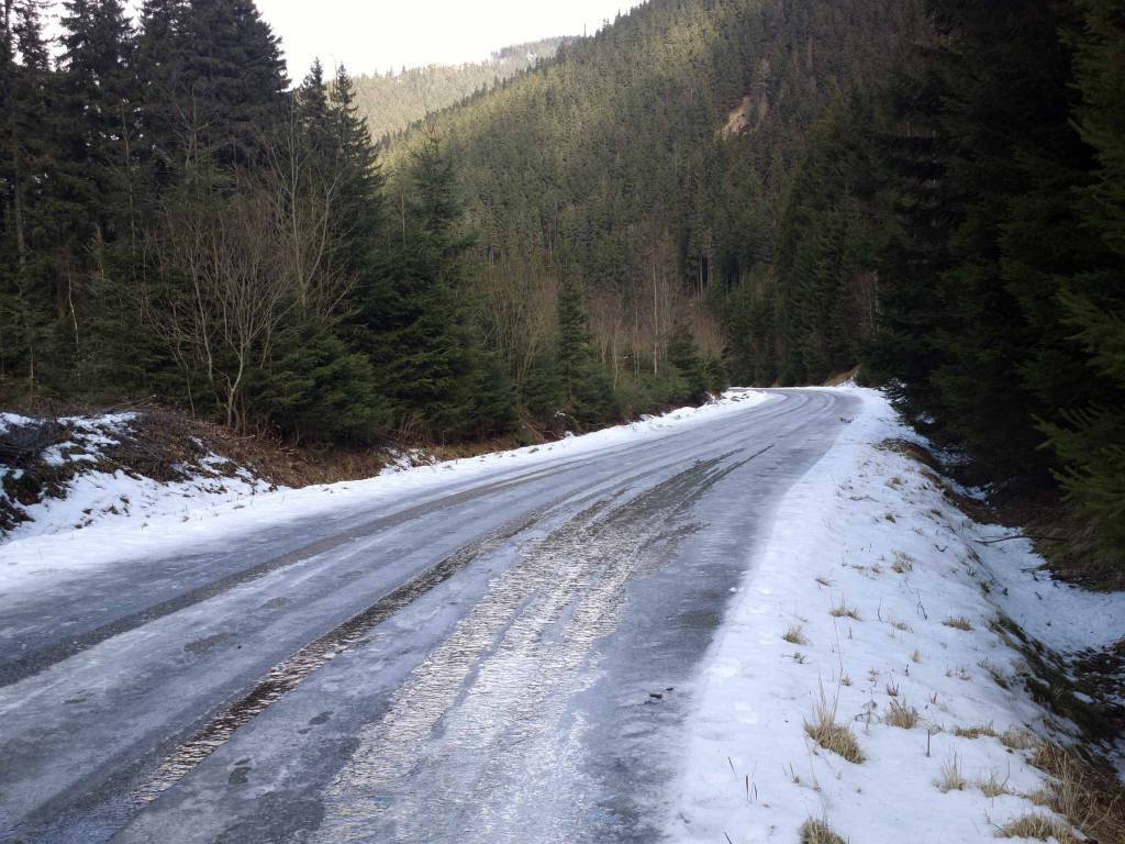

Charakterystyka trasy

Komentarze
NA TYCH TRASACH PRZYDA CI SIĘ MAPOPRZEWODNIK LUB MAPA Z NASZEJ APLIKACJI
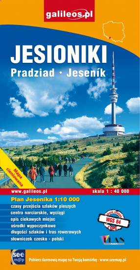
Mapa "Jesioniki" obejmuje Wysoki Jesionik z Pasmem Orlika oraz fragmentem Gór Rychlebskich i Zlatohorskiej Vrchoviny. Na mapie zaznaczono informacje przydatne turyście, podano aktualne przebiegi szlaków pieszych, rowerowych i narciarskich łącznie z kilometrażem.
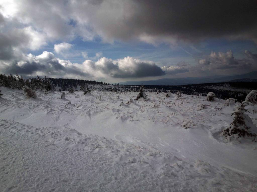
Mapa przedstawia dwa niewielkie pod względem wysokości pasma górskie Sudetów rozciągające się na granicy Polski i Czech, na pograniczu Moraw i Śląska. W Jesionikach najbardziej rozpoznawalnym szczytem jest Pradziad (1491 m n.p.m.) znajdujący się w paśmie górskim Wysokiego Jesionika, stanowiący jednocześnie najwyższy szczyt Śląska Czeskiego, Górnego Śląska i Moraw i całych Sudetów Wschodnich. Na jego szczycie ustawiona jest charakterystyczna wieża telewizyjna przypominająca kształtem rakietę kosmiczną. Wierzchołek jest dobrze widoczny z wielu punktów widokowych oraz wyższych miejsc w promieniu nawet kilkuset kilometrów, nie tylko Czech, ale również południowo zachodnich województw: opolskiego czy dolnośląskiego. Góry Złote to jedno z najdłuższym pasm Sudetów, rozciągające się z Przełęczy Kłodzkiej na północnym zachodzie, aż do Przełęczy Ramzovskiej. Tereny Gór Złotych są słabo zaludnione i bardzo atrakcyjne dla turystyki pieszej oraz narciarskiej. Najsłynniejszą atrakcją regionu jest dawna podziemna kopalnia złota i arsenu w Złotym Stoku.

Mapa przedstawia obszar Ziemi Kłodzkiej z naniesionymi pętlami Singletrack'ów. Rowerowe trasy zostały wytyczone przy współpracy ze Stowarzyszeniem Gmin Ziemi Kłodzkiej. Na mapie oznaczono przebieg pętli wraz z ich infrastrukturą (stacje naprawcze, stacje ładowania e-bików, wiaty wypoczynkowe,serwisy rowerowe, punkty dostępowe).

Mapa turystyczna Euroregionu Pradziad obejmuje obszar pogranicza polsko-czeskiego: po polskiej stronie województwo opolskie a po czeskiej okresy Jesenik i Bruntal. Specjalnie opracowany podkład kartograficzny zawiera niezbędne informacje do uprawiania aktywnej turystyki w transgranicznym regionie: szlaki piesze, konne, trasy rowerowe oraz inne ważne elementy infrastruktury turystycznej.
Mapa została wykonana w ramach projektu „E-bike nowoczesna turystyka” współfinansowanego ze środków Europejskiego Funduszu Rozwoju Regionalnego oraz ze środków budżetu państwa. „Przekraczamy granice”.

Turistická mapa Euroregionu Praděd zahrnuje území česko-polského příhraničí: na české straně okresy Jeseník a Bruntál, na polské straně Opolské vojvodství. Speciálně zpracovaný kartografický podklad obsahuje nezbytné informace pro aktivní turistiku v přeshraniční oblasti: pěší, jezdecké, cyklistické stezky a další významné objekty infrastruktury cestovního ruchu.
Mapa byla zpracována v rámci projektu „E-bike moderní turistika" spolufinancovaného z prostředků Evropského fondu pro regionální rozvoj a ze státního rozpočtu. „Překračujeme hranice".

Mapa Opola i okolic obejmuje obszar województwa w skali 1:190 000. Mapa zawiera aktualny przebieg dróg wraz z numeracją, odległości drogowe, granice powiatów i gmin ponadto stacje paliw, hotele, parkingi, zabytki, zaznaczono wszystkie miejscowości. Mapa oprócz województwa obejmuje też pogranicze i obszar Wrocławia. Na obu mapach wkreślono współrzędne geograficzne zgodne z GPS. Opracowanie obejmuje także plan Opola w skali 1:20 000, widoczny po odpowiednim zbliżeniu.