Charakterystyka trasy
Średni czas potrzebny na pokonanie trasy:
1 h 13 min
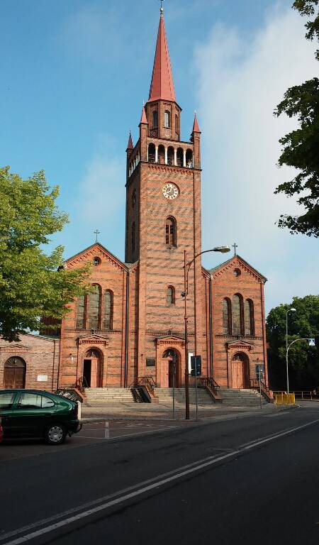
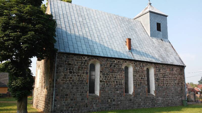
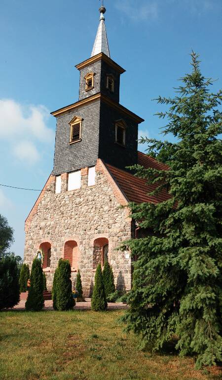
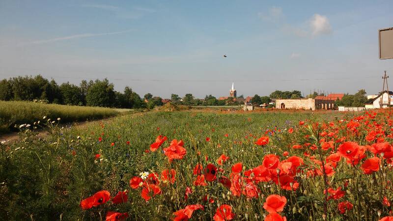
Łatwa trasa na niedzielny wypad, poziom trudności łatwy, nawierzchnia dróg asfaltowa. Przebieg trasy: Dębno, Oborzany, Wysoka, Boleszkowice, Chwarszczany, Dargomyśl i Dębno.
NA TYCH TRASACH PRZYDA CI
SIĘ MAPOPRZEWODNIK LUB MAPA Z NASZEJ APLIKACJI

Ziemia Lubuska
Mapa krajoznawcza województwa lubuskiego z wyszczególnionymi atrakcjami turystycznymi. Na mapie umieszczono grafiki atrakcji turystycznych.