


Charakterystyka trasy

Komentarze
NA TYCH TRASACH PRZYDA CI SIĘ MAPOPRZEWODNIK LUB MAPA Z NASZEJ APLIKACJI
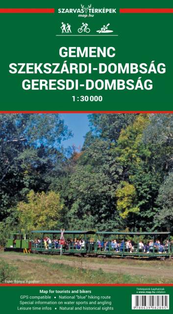
Uznany w 1996 roku za park narodowy las Gemenc to tzw. "must-see" dla miłośników przyrody na Węgrzech. Rejon charakteryzuje zróżnicowana flora i fauna terenów zalewowych, są to też tereny łowieckie z kilkusetletnią tradycją. Żyją tu m.in. jelenie, dziki, bociany, czaple szare, orły łąkowe i latawce a także wiele gatunków płazów i gadów. Populacja tutejszych jeleni zyskała światową sławę ze względu na ich imponujące poroża. Region jest też domem dla 14 chronionych gatunków motyli. Obecnie okolicę odwiedzają głównie fotografowie przyrody, obserwatorzy ptaków, jak również turyści piesi i rowerowi oraz miłośnicy sportów wodnych - w tym kajakarstwa. Nie sposób nie wspomnieć o słynnych winach z Szekszárdu - to stąd wywodzi się słynna węgierska "bycza krew"!
Aktualizacja: 2017
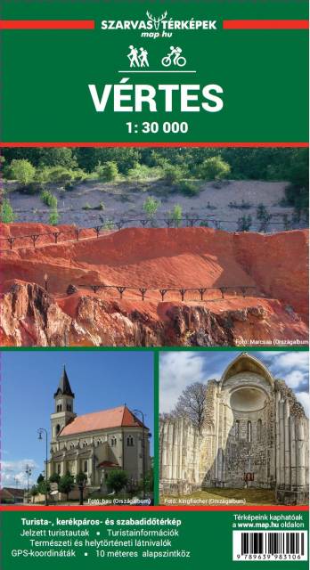
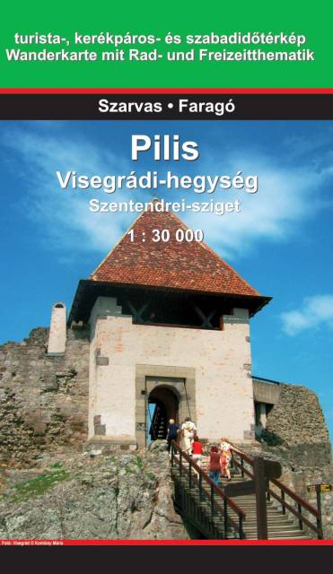
Ten popularny wśród Węgrów region wypoczynkowy znajduje się w Górach Zadunajskich. Sercem regionu jest okolica wioski Pilisszentkereszt oraz pobliski kurort Dobogókő, położony na wysokości 699 m n p m. Jest to uzdrowisko, doskonały punkt wypadowy dla turystów pieszych oraz centrum sportów zimowych. Słynie także z najpiękniejszych na Węgrzech widoków. Dawniej góry Pilis były jednym z lubianych obszarów polowań królów węgierskich i do tej pory w regionie można oglądać wiele starych domów myśliwskich.
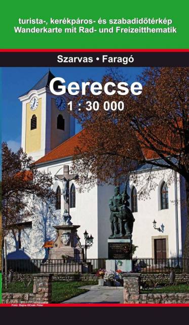
Mapa przedstawia teren rekreacyjny na północny zachód od Budapesztu. fragment Średniogórza Zadunajskiego pomiędzy pasmami Vértes i Pilis. Najwyższym punktem regionu jest Nagy-Gerecse o wysokości 634 m. Teren pokrywają w 70% lasy, w 5% zarośla, w 10% użytki rolne i w 15% zabudowania.