
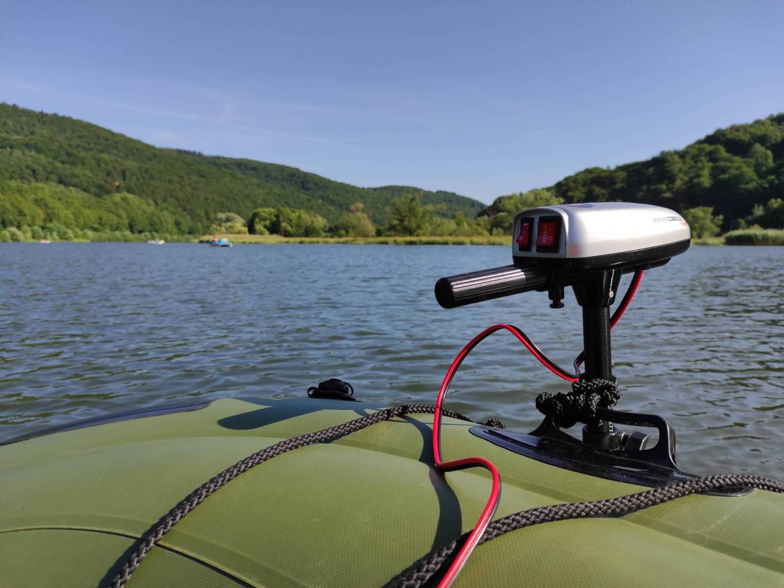
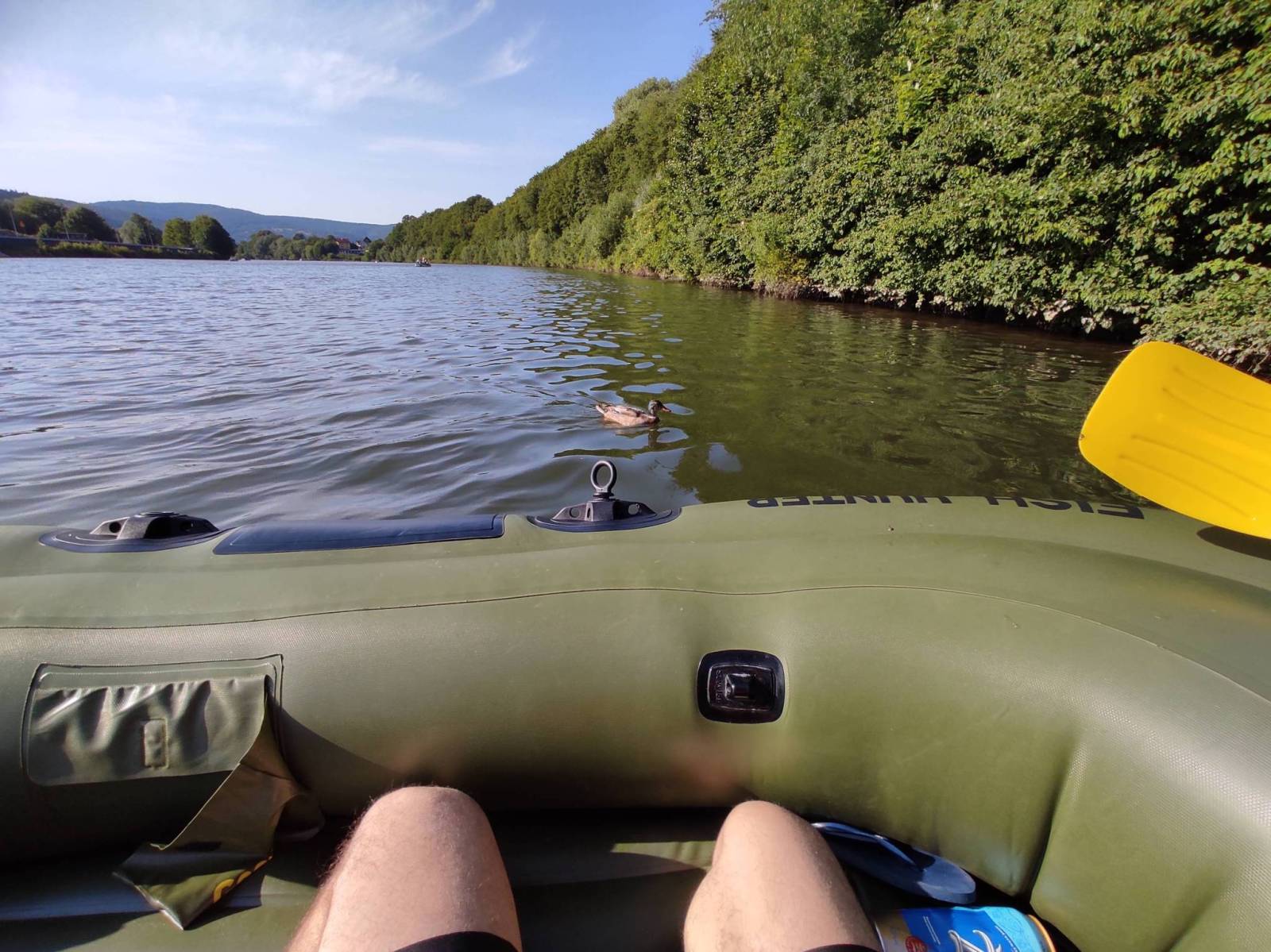

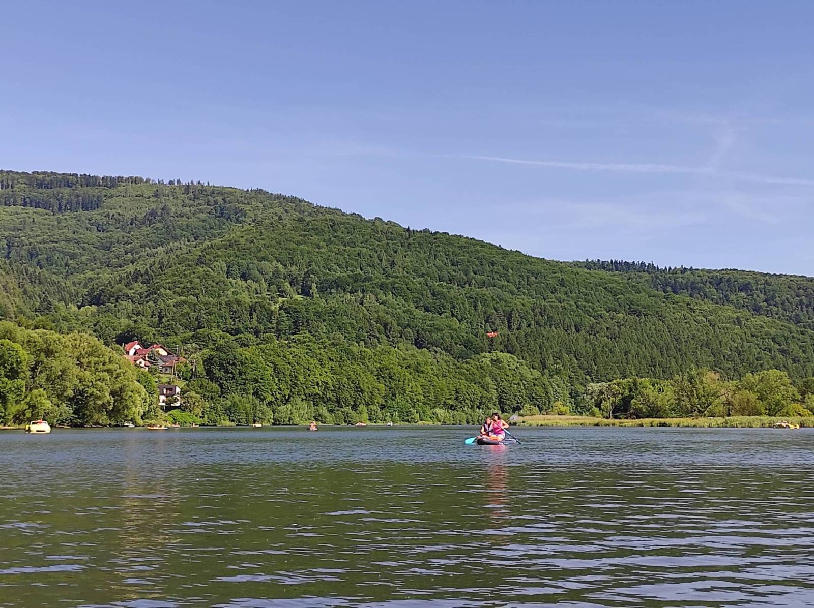


Charakterystyka trasy

Komentarze
NA TYCH TRASACH PRZYDA CI SIĘ MAPOPRZEWODNIK LUB MAPA Z NASZEJ APLIKACJI
Szczegółowa mapa turystyczna "Żywiec i okolice" z uwzględnieniem atrakcji, zabytków, noclegów, gastronomii oraz innych miejsc przydatnych turyście. Zawiera wszystkie znakowane szlaki turystyczne piesze, rowerowe, ścieżki dydaktyczne wraz z kilometrażem. Obejmuje swym zasięgiem Żywiec i okolice po Węgierską Górke na południu, Międzybrodzie Bialskie i zaporę na jeziorze Międyzbrodzkim na północy, Rychwałd na wschodzie i Rybarzowice na zachodzie.
Rok: 2018
Mapa z zaznaczonymi m.in. zabytkami, noclegami, bazą gastronomiczną, basenami, wyciągami narciarskimi. Podano aktualne przebiegi szlaków pieszych i rowerowych, łącznie z kilometrażem, przy szlakach pieszych podano również orientacyjny czas przejścia, co pozwala łatwiej zaplanować wycieczkę. W miejscowościach podano nazwy ulic. Ukształtowanie terenu pokazano przy pomocy warstwic o cięciu co 20 m oraz cieniowania. Mapa posiada siatkę geograficzną opartą na elipsoidzie WGS 84, stosowaną w nawigacji.
Rok wydania: 2017
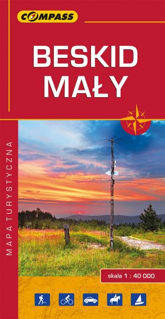
Mapa prezentuje obszar najmniejszego, ale jakże urokliwego polskiego Beskidu. Zasięg mapy obejmuje tereny pomiędzy Bielskiem-Białą na zachodzie i Suchą Beskidzką na wschodzie oraz Wadowicami od północy i Żywcem na południu.
Obszar Beskidu Małego posiada charakter zwartej, rozległej wyspy górskiej, którego najwyższym szczytem jest Czupel (930 m n.p.m.). Dla turystów jest to łatwo dostępny obszar z gęstą siecią szlaków turystyki pieszej, rowerowej i narciarskiej. Jeziora Żywieckie i Międzybrodzkie stwarzają dobre warunki do uprawiania sportów wodnych. Obszar Beskidu Małego to również region bogaty kulturowo, gdzie spotkać można ślady wczesnośredniowiecznych grodzisk, ruiny rycerskich zamków, dawne rezydencje magnackie, staropolskie szlacheckie dworki, czy niespotykane gdzie indziej kamienne szałasy. W regionie tym urodził się i wychował Jan Paweł II, który często wędrował po szlakach tego Beskidu.
Wydawnictwo Compass dokonało aktualizacji mapy na bazie własnych prac terenowych oraz w konsultacji ze znakarzami szlaków.
Wydanie 10, 2017 r.
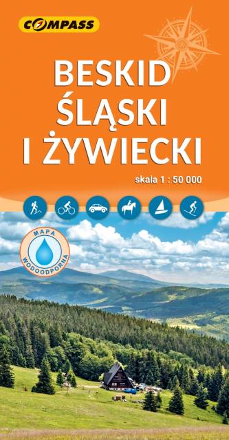
Praktyczna mapa turystyczna Beskidu Śląskiego i Beskidu Żywieckiego. Obejmuje swym zasięgiem tereny od Makowa Podhalańskiego na wschodzie po Skoczów na zachodzie oraz od Bielska-Białej na północy po czeskie i słowackie pogranicze na południu. Mapa zawiera aktualne informacje turystyczne i topograficzne tych terenów - siatkę szlaków turystycznych (długość odcinków, czasy przejścia, przewyższenia), infrastrukturę (noclegi, punkty gastronomiczne i inne), wszelkie atrakcje - wyciągi, zabytki, kąpieliska. Rok wydania: 2023
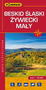
Mapa turystyczna Beskidu Śląskiego, Żywieckiego i Małego - zostały zaznaczone na niej najpotrzebniejsze dla turystów informacje: przebiegi szlaków i atrakcje turystyczne. Z mapy można korzystać będąc offline, po zakupie wybiera się ją jako jeden z podkładów mapowych, widać pozycję użytkownika na mapie. To świetna alternatywa dla map drukowanych. Rok wydania: 2018