

Charakterystyka trasy

Komentarze
NA TYCH TRASACH PRZYDA CI SIĘ MAPOPRZEWODNIK LUB MAPA Z NASZEJ APLIKACJI
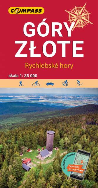
The Golden Mountains are a mountain range in the Eastern Sudetes, spreading over the Polish-Czech border. Map range: Paczków to the north (Poland), Jeseník to the south (Czech Republic), Oldrzychowice Kłodzkie to the west (Poland) and Jarnołtów to the east (Poland). Tourist attractions, as well as cycling and walking trails are marked on the map.
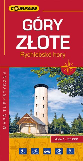
The Golden Mountains are a mountain range in the Eastern Sudetes, spreading over the Polish-Czech border. The map range: Złoty Stok and Paczków to the north, Trzebieszowice to the west, Jesenik to the south and Sławnowice to the east. Tourist attractions, as well as cycling and walking trails are marked on the map.
Update: 2017
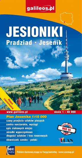
The map covers Hrubý Jeseník, a mountain range of the Eastern Sudetes in Czech and Polish Silesia. It is the second highest mountain range in Czech Republic. Part of Golden Mountains (Rychlebské hory / Góry Złote) range is also presented. Information useful for tourists, hiking, cycling and ski trails are marked on the map.
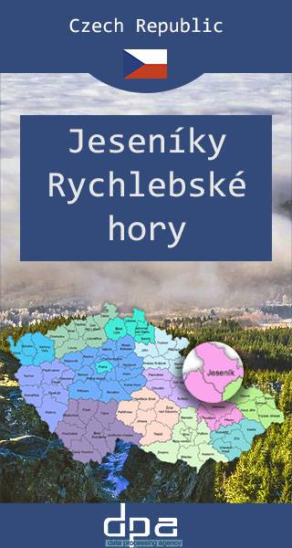
High Ash Mountains is a mountain range of Eastern Sudetes in northern Moravia and Czech Silesia. It is the second highest mountain range in the Czech Republic. Its best known natural sights include Praděd, its highest mountain, the powerful pumped storage plant Dlouhé stráně, the natural reserve Rejvíz, with moss lakes, the town of Jeseník – Priessnitz spa, and the Devil Stones (Čertovy kameny). The Golden Mountains are one of the longest mountains ranges in Sudetes. The most popular town here is Złoty Stok, where the ancient mine of gold can be visited.
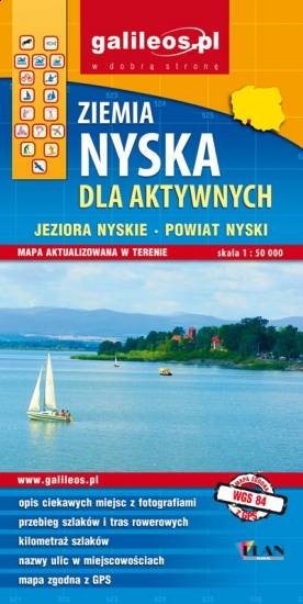
The map covers part of the Lower Silesian Voivodeship in Poland: the area of Nysa city and surrounding municipalities. Lot of information useful for tourists is marked on the map: monuments, accomodation facilities, protected areas, cycling, walking, and canoeing trails. The most interesting places are highlighted with a yellow frame.
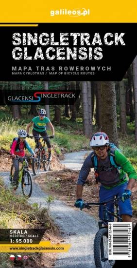
Mapa przedstawia obszar Ziemi Kłodzkiej z naniesionymi pętlami Singletrack'ów. Rowerowe trasy zostały wytyczone przy współpracy ze Stowarzyszeniem Gmin Ziemi Kłodzkiej. Na mapie oznaczono przebieg pętli wraz z ich infrastrukturą (stacje naprawcze, stacje ładowania e-bików, wiaty wypoczynkowe,serwisy rowerowe, punkty dostępowe).